What's new this year from NOAA for hurricane season

Add Axios as your preferred source to
see more of our stories on Google.
Illustration: Sarah Grillo/Axios
The National Hurricane Center will release forecasts and tracks for some storms further in advance than last year, the National Weather Service says.
Why it matters: It's one of several changes residents can expect during the 2025 Atlantic hurricane season.
The big picture: Meteorologists have been releasing tracks 48 hours before storms are expected to reach land, even if they haven't formed yet.
- Beginning this year, the National Hurricane Center will be able to extend that to 72 hours for potential storms, said Ken Graham, the director of the National Weather Service.
- "To get an extra 24 hours on your timeline? Think what you can do in 24 hours," he told Axios in an exclusive interview. "An extra 24 hours is an eternity."
- For instance, municipalities could use that extra time to issue evacuation orders, move supplies and make emergency plans, among other things, he said.
Between the lines: This is becoming more important as the trend continues for rapidly intensifying storms.
- "The strongest storms are the ones that develop the fastest," Graham said at a press conference in Gretna.
/2025/05/29/1748526988052.gif)
Threat level: The 2025 Atlantic hurricane season is expected to be above normal, NOAA says, with 13 to 19 named storms.
- Three to five of those could be a Category 3 hurricane or stronger, NOAA said in its forecast last week.
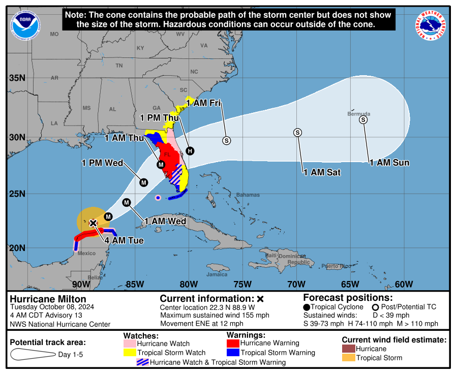
- The season is not expected to be as active as last year's, which brought destruction from Hurricanes Helene, Milton, Debby and Francine, but as Graham says, it only takes one storm to hit where you are.
- The forecast predicts overall activity, not how many storms may make landfall.
New forecast tools
NOAA, the parent agency for the National Weather Service and the National Hurricane Center, is also rolling out new tools to help residents better understand their risks this season.
New cone: The National Hurricane Center will continue testing a version of the storm cone that includes inland warnings.
- The experiment went well last year, Graham said, and they are continuing to tweak it.
- While the old cone only showed storm watches and warnings along the coast, the new one goes inland and gives a better depiction of where the threats are.
Inundation mapping: NOAA is in the process of mapping the entire country so it'll be able to help residents visualize what a rain and flood forecast will look like in their area.
- Nashville was a pilot market last year, Graham said, and it led to a hospital being evacuated before it flooded during Hurricane Helene.
- More markets will be added this year, but he didn't say which ones. The nearly $500 million project should be fully rolled out next year.
- The NHC will continue to issue storm surge inundation graphics this hurricane season for each storm.
Rip currents: The National Hurricane Center will issue new rip current risk maps when there's at least one tropical system present.
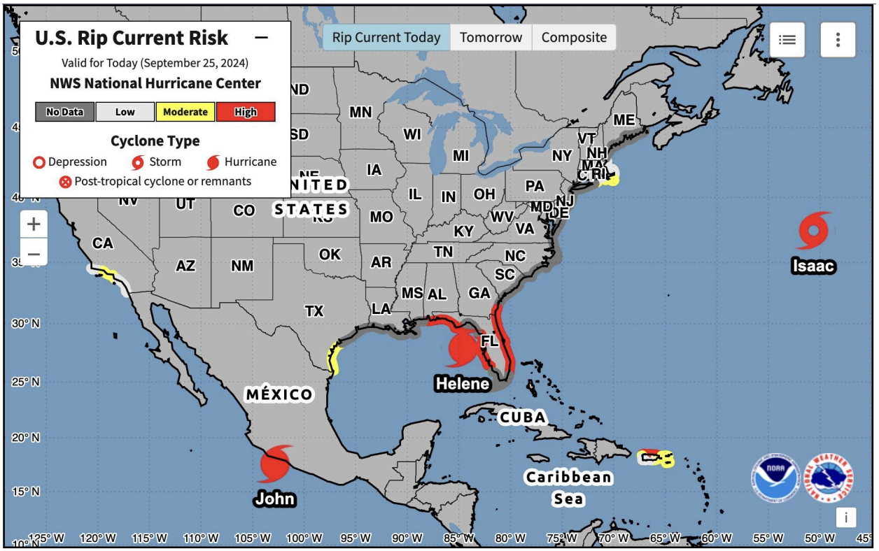
- There's been an increase in surf and rip current fatalities, NHC says, especially from swells caused by distant hurricanes.
- The maps will show the rip current risk for the day of and the following day.
Behind the scenes: NOAA is also upgrading its hurricane forecast system, which is expected to improve tracking and intensity forecasts by 5%.
- And, its long-range tropical outlook is being extended from two weeks to three weeks, giving folks even more advance warning that something may be brewing.
What we're watching: Atlantic hurricane season officially starts Sunday, June 1, but storms can form any time.
- NHC began its daily tropical outlook May 15, and so far all has been quiet in the Gulf, Caribbean and Atlantic.
- Historically, the most active period for strong storms in the Gulf and the Atlantic is August and September.
What's next: Authorities urge residents to prepare now for the season by gathering emergency supplies, preparing their home for storms and making an evacuation plan.