Cascadia quake could sink Washington's coastal towns


Add Axios as your preferred source to
see more of our stories on Google.
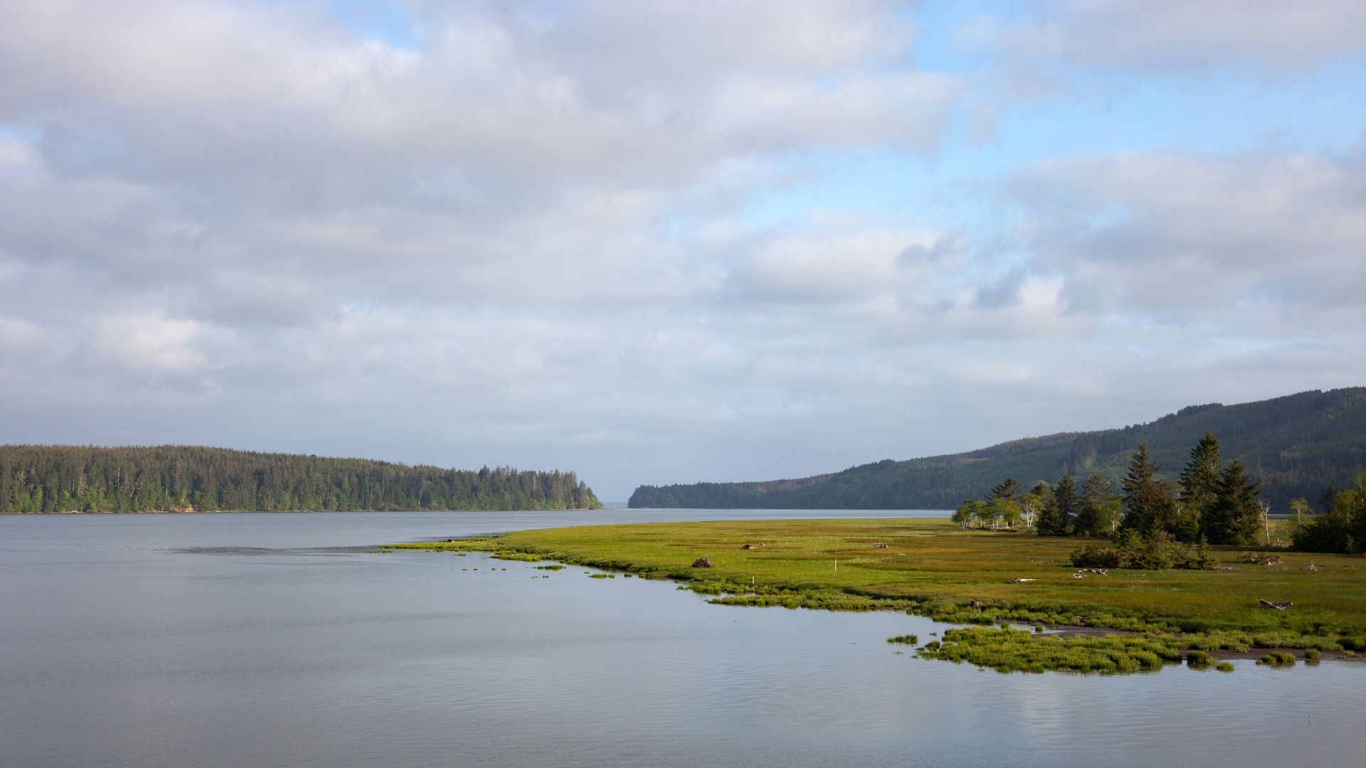
A large Cascadia earthquake could cause sudden sinking in places like the estuary of Naselle River and Willapa Bay. Photo: Marli Miller/UCG/Universal Images Group via Getty Images
A big earthquake along the Cascadia fault could cause Washington's coastal lands to suddenly drop nearly 7 feet, instantly increasing the flood risk to beachside communities, new research shows.
Why it matters: The areas expected to be hardest hit by subsidence — including Oregon and Northern California — are home to tens of thousands of people, five airports and more than a dozen critical facilities, including hospitals, schools and fire stations.
Threat level: Washington's coast faces some of the most extreme impacts in the Cascadia earthquake subsidence study — with deeper land drops and broader floodplain expansion than in Oregon or California, per the study published last week.
- The Washington models extend up to 18.6 miles inland, more than in Oregon or California, reflecting the state's coastal topography.
- Grays Harbor and Willapa Bay could sink up to 5.9 and 6.7 feet respectively, per the study.
- Long Beach, Tokeland, Ocean Park and Raymond — and parts of Grays Harbor, including Ocean Shores, Westport and Aberdeen — are among the most vulnerable communities.
What they're saying: Significant sinking would complicate and delay rescue and recovery efforts in the immediate aftermath of the large quake, but in the long term it "could render many coastal communities uninhabitable," the study's authors wrote.
State of play: Tina Dura, professor of geosciences at Virginia Tech and lead author of the study, and her team generated earthquake simulations to determine how a quake would impact the coast now and in 2100, when rising sea levels will make flooding worse.
By the numbers: They found that a major Cascadia subduction zone earthquake would more than double the area exposed to floods, jumping from 35 square miles to roughly 116 between Humboldt Bay in California and Grays Harbor in Washington.
- That would put more than 14,000 residents, 22,500 structures and 777 miles of roadway into a post-earthquake floodplain if it happened today.
- By 2100 — when experts predict sea levels could rise by 1 to 3 feet, due in part to climate change — a major quake could convert an additional 145 square miles into floodplain.
- That scenario would put another 17,000 residents, nearly 30,000 structures and around 1,000 miles of roads in a floodplain zone, per the study.
Harold Tobin, director of the Pacific Northwest Seismic Network and a professor at the University of Washington, told NBC News this kind of "permanent change to land level at the coast" should change how communities plan for the future.
- "Where are you going to put your school or hospital? Where are you going to build your transportation network? It's important to take the long view," he said.