AI can help Oregon officials predict future wildfires

Add Axios as your preferred source to
see more of our stories on Google.
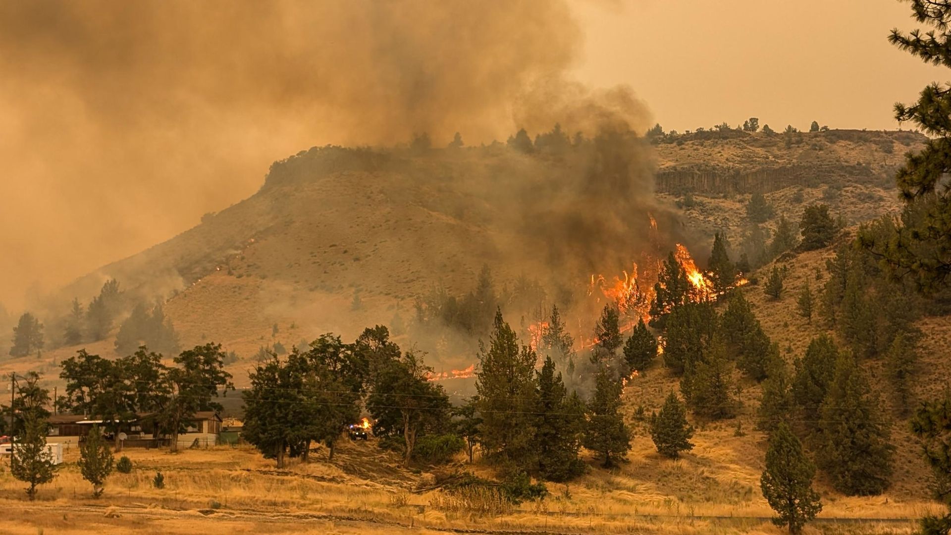
The Lone Rock Fire has burned over 130,00 acres and is 80% contained. Photo: Courtesy of USDA Forest Service
A newly enhanced national database aims to help fire officials and scientists predict when — and where — wildfires are most likely to pop up via artificial intelligence.
Why it matters: It can be used to better aid on-the-ground firefighters with emergency response planning during active wildfires and determine what regions are most at risk due to current and previous climate events.
What they're saying: "It's not so much saying, 'There's going to be a wildfire that's 350 acres in this place on this day,' but, 'Under this set of physical and social circumstances, is there a high probability of a fire igniting?' " Erica Fleishman, an OSU professor on the database research team, told Axios.
State of play: The Fire Program Analysis-Fire Occurrence Database was first developed by the U.S. Forest Service in 2013 to document wildfire ignition location and final size from fires dating back three decades.
- Researchers — including those from Oregon State University — recently updated the tool to include new variables, such as climate, topography, vegetation, social and economic factors plus the nearest roads, fire stations and power lines.
How it works: Researchers gathered information from 2.3 million wildfires across the United States from 1992 to 2020 and added 270 more variables relevant to each wildfire's ignition.
- For example, Fleishman said, among the questions the database can answer are if there was a wet winter followed by a hot, dry spring, or if there were highly flammable, non-native grasses found in the area or if the region is prone to drought and high winds.
- This kind of information from the database, which is available to the public, can be queried and incorporated into artificial intelligence or machine learning tools to analyze patterns and project the likelihood of future wildfires.
Yes, but: "There's always going to be a lot of uncertainties," Fleishman said, adding that most wildfires are human-caused. "You can still make projections and get some real sense of what's going to happen."
What's next: The tool is already used by several state and federal agencies, including in Oregon, to assist with emergency wildfire response.
- However, Fleishman hopes it can also be used to address social inequities — such as access to services and infrastructure — in communities disproportionately exposed to and impacted by wildfires when it comes to planning and preparedness.