Oregon's Western Cascades may see more wildfires

Add Axios as your preferred source to
see more of our stories on Google.
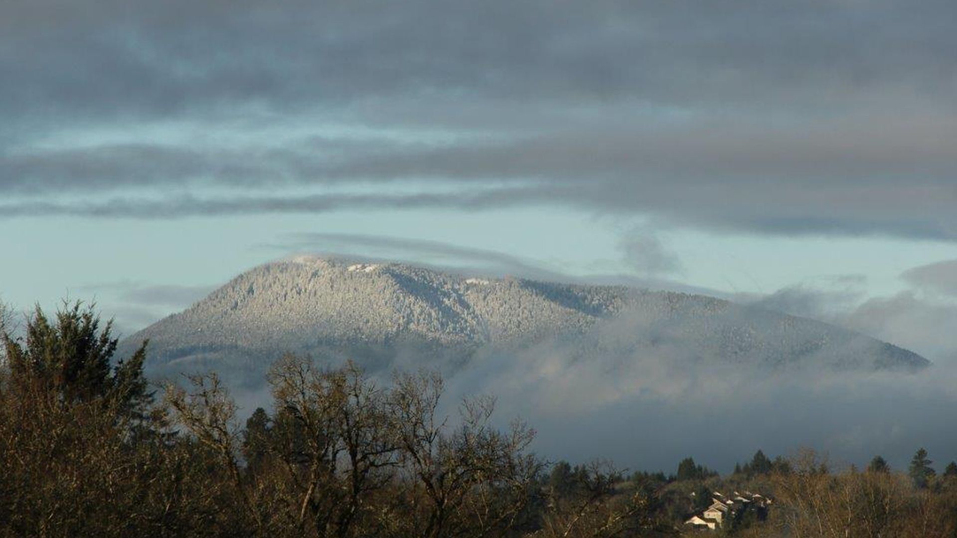
Mary's Peak is the highest point in Oregon's Coast Range. Photo: Courtesy of Steve Lundeberg, Oregon State University
The wet, cool forests along Oregon's Western Cascades could see at least twice as much wildfire activity in the next three decades, according to a new simulation led by Oregon State University researchers.
Why it matters: As wildfire season in the Pacific Northwest has grown longer and stronger, partly due to climate change, areas in the region once deemed low-risk thanks to their ecological makeup are now under threat of increased fires in the future.
What they did: A study published last week, led by OSU research associate Alex Dye, examined nearly 30 years of Pacific Northwest climate history — from 1992 to 2020, which is considered to be the timeframe with the most complete and widely accepted data.
- Researchers compiled a variety of historical climate models — temperature, precipitation and humidity — to predict what wildfire activity could look like starting in 2035.
Caveat: The model doesn't include the point locations of past wildfire ignitions or how big fires were during that period, but that's "the next piece of the puzzle to include with climate," Dye says.
- The study is part of the U.S. Forest Service's West-Side Fire and Climate Adaptation Research Initiative, an effort to better understand the region's vulnerability.
What they found: Oregon's Western Cascades and Washington's North Cascades region, including the Puget lowlands and Olympic Mountains, could see a 50-100% increase in fire activity starting in 2035 compared to the prior 30 years, Dye tells Axios.
- That means there's a greater likelihood that not only will there be more wildfires but that more single fires will reach up to 99,000 acres, Dye says.
- "Our findings show that warmer temperatures and drier air will increase the window of opportunity for fire spread, persisting later into the fall and occurring earlier in the spring."
Context: The findings mean new threats to public safety, drinking water, private property, local ecosystems and industries in a region known for lush, deep, rainforest-like vegetation and topographies.
- The OSU simulation also showed that fire activity in Oregon's Coast Range, located between the Willamette Valley and the Pacific Ocean, could increase similarly, threatening the future of Oregon's billion-dollar winemaking industry.
Threat level: Dye pointed to the 2020 Labor Day wildfires to show how devastating wildfires west of the Cascades could be if they were to occur more frequently.
- "What if that once-every-200-years became once-every-50-years or once-every-25-years?"
What's next: Dye hopes this simulation — and others in the future — can provide a better understanding of how climate will impact wildfire risk in the decades ahead and aid officials in long-term mitigation efforts and resource planning.