Hot temperatures could set a record in Seattle

Add Axios as your preferred source to
see more of our stories on Google.
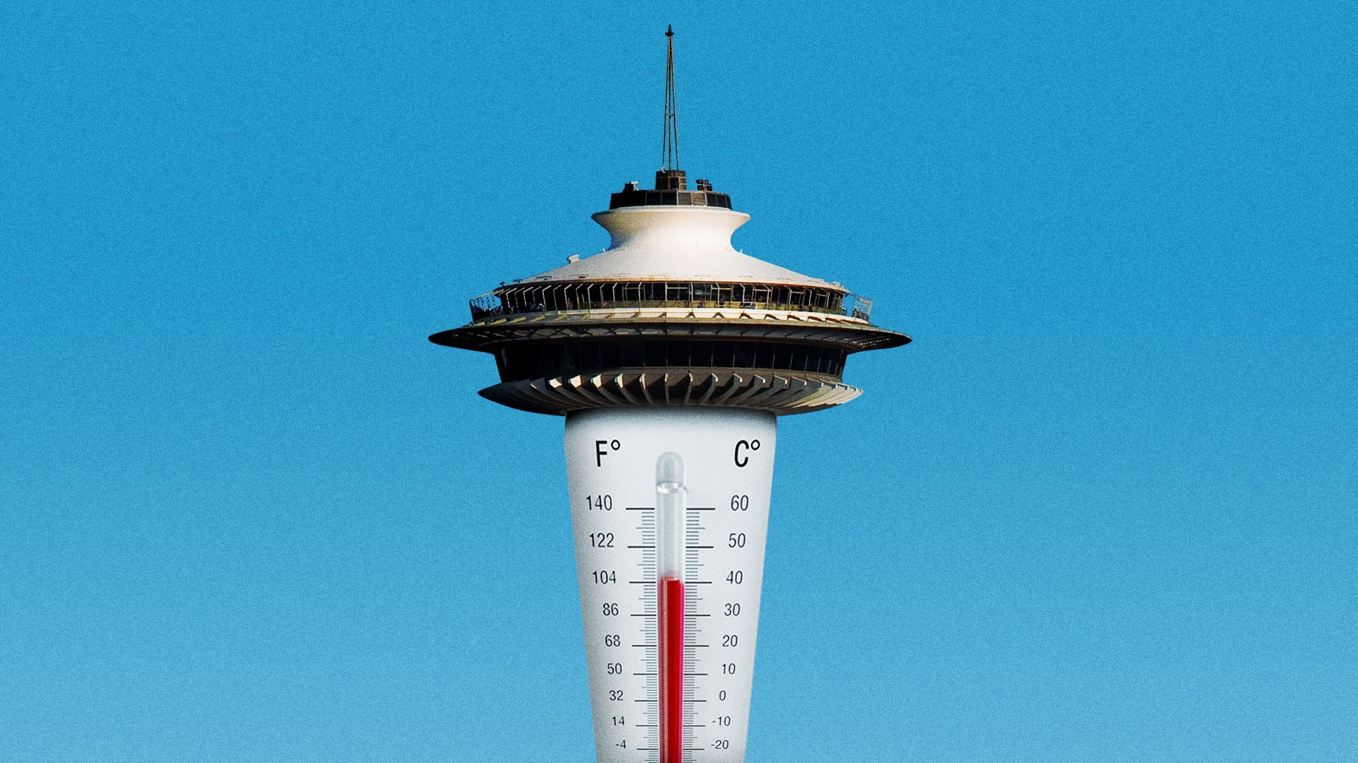
Illustration: Maura Losch/Axios
A high-pressure ridge over the northern West Coast is forecast to bring temperatures in the 80s and perhaps even 90s to Seattle over the weekend and possibly into next week.
Why it matters: If the mercury hits 90 degrees or above in Seattle before Tuesday, it will break the record for the earliest 90-degree day of the year.
- The current record was set on May 17, 2008, according to Jacob DeFlitch of the National Weather Service in Seattle.
Catch up quick: In June 2021, a heat dome smothered the Pacific Northwest from Canada to Oregon, raising temperatures 30 degrees above normal and shattering previous highs, hitting 116 in Portland, 107 in Seattle and 121 in Lytton, British Columbia.
- In July 2022, Seattle broke another weather record when high temperatures hit 90 degrees or above for six days in a row.
- Hotter summers here mirror trends seen globally over the past eight years, the warmest ever recorded.
Driving the news: Daytime temperatures in Seattle are expected to be 20 degrees to 25 degrees above normal on Saturday, Sunday and Monday when highs are expected to reach into the mid-80s or even the 90s in areas away from the water, DeFlitch told Axios.
- The normal high temperature for this time of year is 65 degrees, he said.
- Overnight lows will also be higher than usual, dipping down only to the upper 50s and lower 60s, he added.
What's next: Meteorologists are watching a developing weather system that could linger off the coast on Monday and Tuesday, potentially bringing clouds and thunderstorms, said DeFlitch, but temperatures are still expected to remain relatively high.
- By Tuesday, the high in Seattle is forecast to be in the low to mid-80s with daytime temperatures expected to remain in the upper 70s or lower 80s the rest of the week, he said.