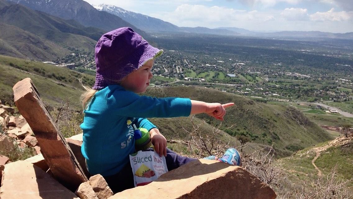
Four best foothill hikes for spring in Salt Lake City

Add Axios as your preferred source to
see more of our stories on Google.
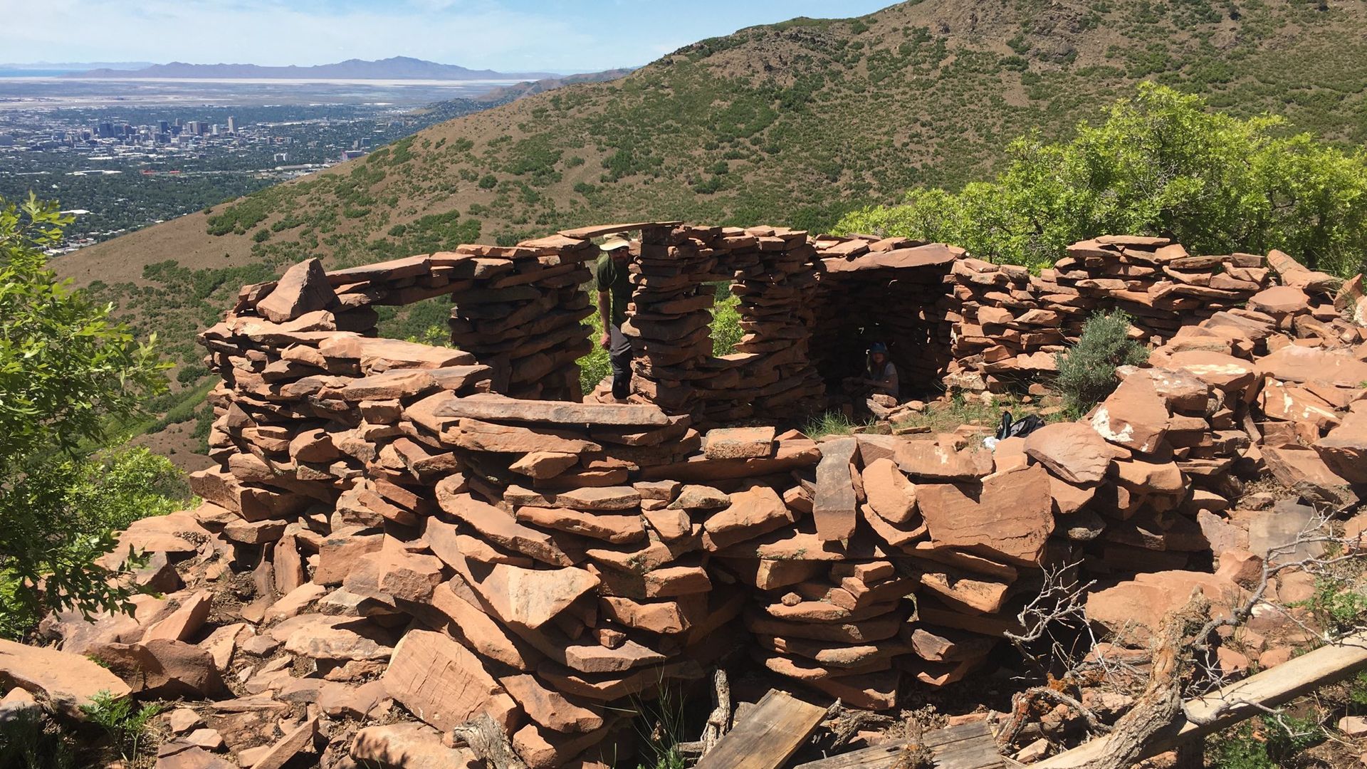
The rock castle near Pencil Point Peak above Salt Lake City, May 2020. Photo: Erin Alberty/Axios
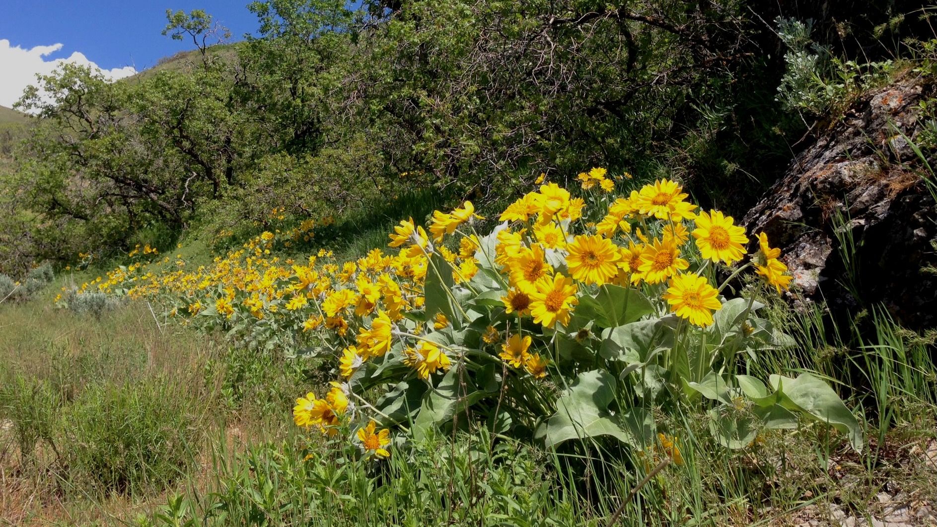
Spring is the best season to explore the foothills.
- Temperatures are reasonable, the grass is still green, and flowers will be peeking out in the next few weeks.
Yes, but: There's elevated flood risk near creeks and streams fed by high-altitude snowmelt, so we're sticking to Salt Lake City hikes where most drainages are fed by lower-altitude slopes that have melted.
Here are some must-do hikes at lower elevations:
Jack's Mountain
For decades, hikers have been climbing about a mile above the letter "H" rock in Arcadia Heights to leave notes for Jack Edwards, a Salt Lake toddler who died from leukemia in 1995. His family scattered his ashes from this peak.
- Instead of a summit log, mailboxes at the peak contained community diaries full of "notes to Jack," which occasionally disappeared over the years. But a new mailbox and notebook are there now.
Trailhead and route: 1835 Carrigan Canyon Dr., map via Road Trip Ryan
Hike stats: About 2.5 miles round trip | 1,240 feet elevation gain
Pencil Point Rock Castle
Another hike from the H Rock leads to a rock fort just below the ridge to Pencil Point Peak, with great views of the valley and the peak.
Trailhead and route: 1835 Carrigan Canyon Dr., map of Erin's route in 2020 (Trail access may change over time.)
Hike stats: About 3.75 miles roundtrip via H Rock | 1,000 feet elevation gain
Radio Towers Loop
Catch a glimpse of our slightly less-empty Great Salt Lake from this hike above Ensign Peak.
- It bends around to overlook City Creek, too, making the hike feel more epic than your typical 4-miler.
- Or you can just do the 1-mile roundtrip hike up and down Ensign Peak for lovely city views.
Trailhead and route: Ensign Peak, map via Alltrails.com
Hike stats: About 4.25 miles | 700 feet elevation gain
The Living Room
A beloved classic that ends at a cluster of couches and chairs made of rock slabs — perfect for a spring picnic.
- The hike is popular for sunset views, but you must bring a headlamp or flashlight for the return.
Trailhead: Near 383 Colorow Rd., map via Google
Hike stats: About 2.3 miles roundtrip | 1,000 feet elevation gain