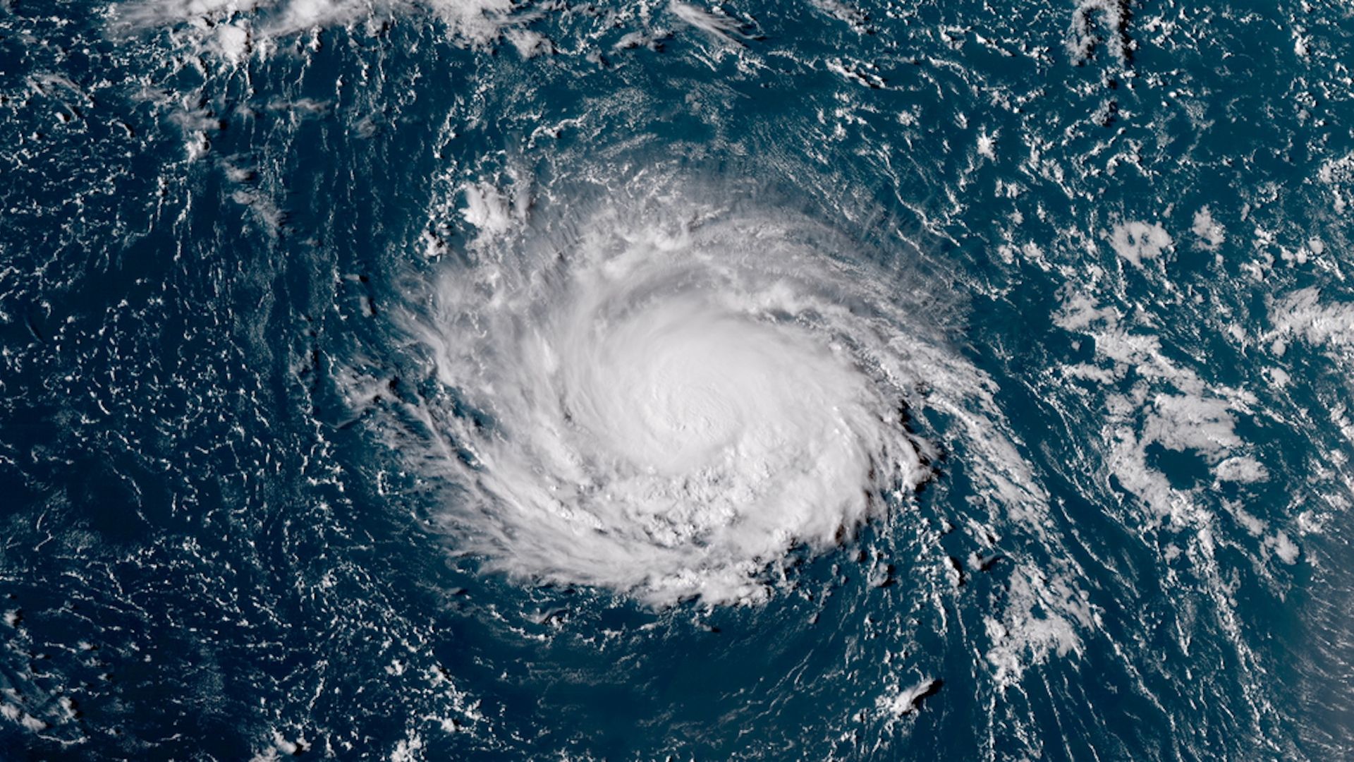
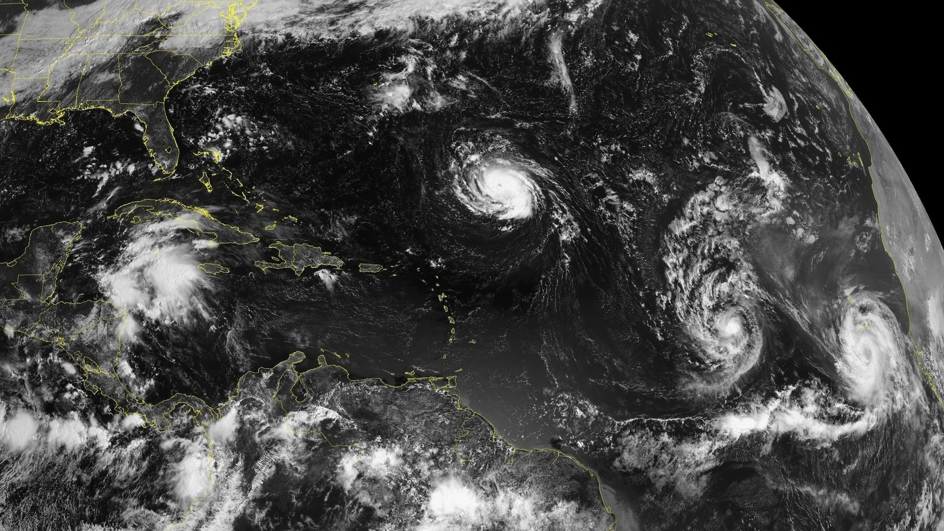
Hurricane Florence has the potential to be a devastating storm for tens of millions along the East Coast later this week, when it is forecast to come close to or cross over the coastline of the Carolinas or mid-Atlantic region. It can possibly come to a complete stall as a major hurricane of Category 3 intensity or greater, which would be a potential nightmare scenario if it plays out.
The big picture: Computer model projections are unanimous in showing the storm will be unusually intense and slow-moving — two attributes that indicate its destructive potential. While Florence was a Category 1 storm Sunday afternoon, it's forecast to take advantage of warm sea surface temperatures, the absence of wind shear and other inhibiting factors to rapidly intensify to a Category 4 or possibly even Category 5 hurricane as it moves toward the East Coast.
The big picture: As Axios science editor Andrew Freedman reported yesterday, "Depending on the storm's intensity and exact path, both of which are considerably uncertain, the storm could pose a devastating threat to areas that have not seen a major hurricane make landfall in decades."
Last month, NASA's Curiosity Mars Rover captured a 360-degree panorama of its surroundings in the Vera Rubin Ridge on Mars.
What you'll see: NASA explains, "The panorama includes umber skies, darkened by a fading global dust storm. It also includes a rare view by the Mast Camera of the rover itself, revealing a thin layer of dust on Curiosity's deck. In the foreground is the rover's most recent drill target, named "Stoer" after a town in Scotland near where important discoveries about early life on Earth were made in lakebed sediments." According to Curiosity's project scientist, Ashwin Vasavada, "[t]he rover has never encountered a place with so much variation in color and texture."
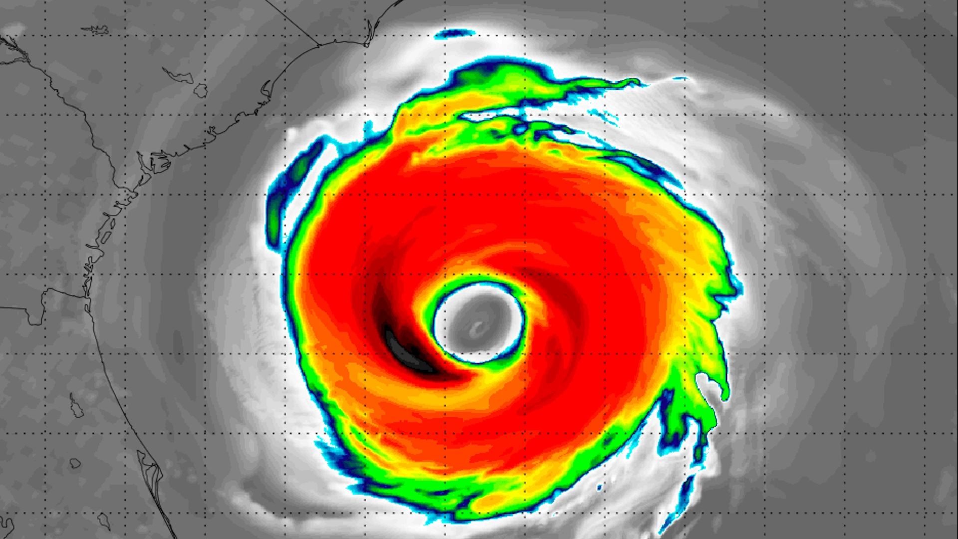
The NHC is projecting that Hurricane Florence will be a Category 4 storm with 145 mph sustained winds 5 days from now.
Why it matters: That’s the strongest five-day intensity forecast for an Atlantic hurricane they’ve issued in the past two decades. Keep in mind though, intensity forecasts are much more uncertain than track forecasts.