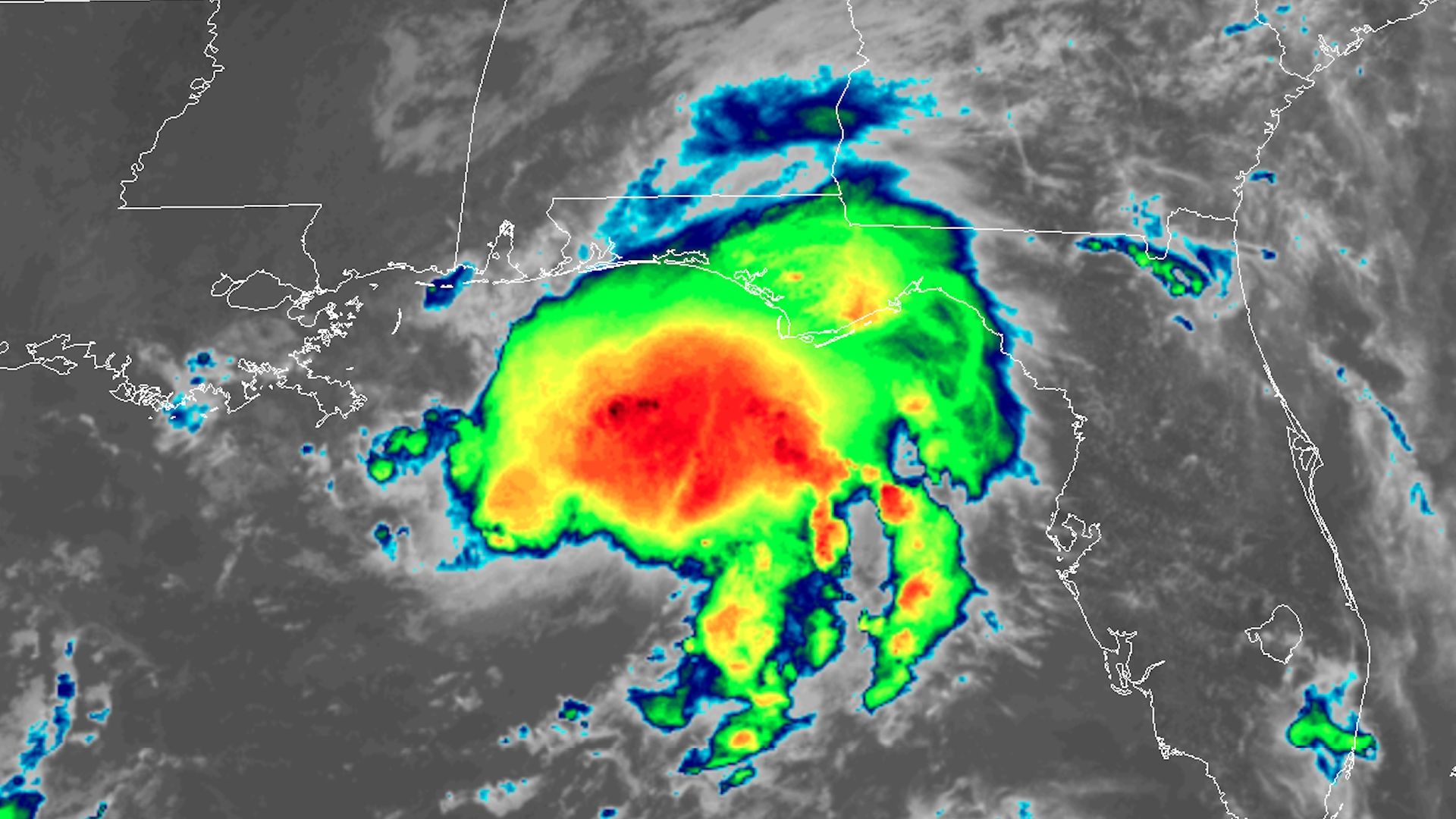
Tropical Storm Gordon is showing signs of intensifying as it approaches the Gulf Coast. It is forecast to make landfall as a Category 1 hurricane early Wednesday in southern Mississippi, bringing storm surge flooding, high winds and heavy rains.
What we're watching: The storm has shown signs of intensification on Tuesday, including a burst of thunderstorms near the center of the storm, and increasing wind speeds as observed via satellite, radar installations and hurricane hunter aircraft.
Tropical Storm Gordon is steadily intensifying over the warm waters of the Gulf of Mexico, prompting the National Hurricane Center to issue hurricane and storm surge warnings for parts of the northern Gulf Coast.
What we're watching: The storm is expected to make landfall late Tuesday or early Wednesday morning near the Louisiana border with Mississippi. Gordon has intensified faster than some computer models suggested, and it has another day of mild, Gulf of Mexico ocean waters to traverse.