Colder, wetter Seattle winter thanks to third consecutive La Niña

Add Axios as your preferred source to
see more of our stories on Google.
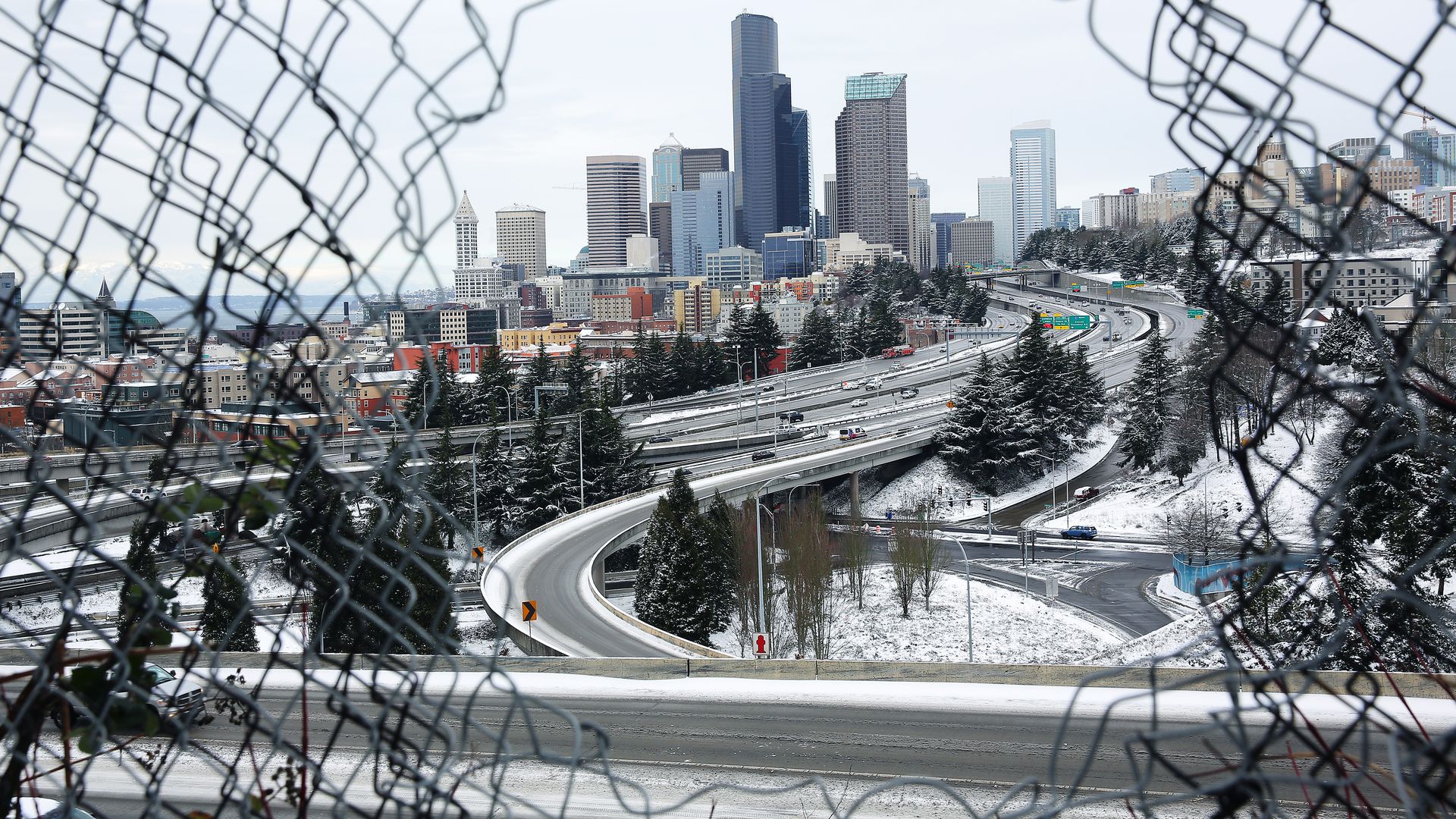
Photo: Genna Martin/San Francisco Chronicle via Getty Images
Is Seattle snowier than it used to be, or have snow events always been a part of the Pacific Northwest weather landscape?
- Some wonder whether our current stretch of wet days is part of the extreme weather changes climate scientists talk about or simply the effects of a third La Niña winter.
Driving the news: With more snow forecast across Western Washington this week and a three-month prediction for a colder, wetter winter, we asked some Seattle weather watchers for their thoughts on what to expect and why.
By the numbers: Seattle's average seasonal snowfall between 1991 and 2020 was 6.3 inches, according to the city's official snowfall records taken at Seattle-Tacoma International Airport and Justin Shaw of Seattle Weather Blog.
- The 30-year average between 1971 and 2000 was 11 inches, Shaw said. That means, overall, snow totals are down, not up, he said.
- Yes, but: Three of the last four years had record breaking or tying snow events.
Flashback: In February 2019, over 20 inches of measurable snow fell, shattering a 70-year record for the month. The previous monthly high was 13.1 inches set in February 1949, according to weather service records.
- In 2021, Seattle recorded its single snowiest day in 52 years when 8.9 inches fell on Feb. 13. A total of 12.9 inches for the 2020-2021 winter season was reported.
- The city recorded 9.2 inches of snow last year, the 2021-2022 winter.
Yes, and: The Climate Prediction Center is forecasting a colder, wetter Pacific Northwest winter for the three-month period between December and February 2023. Washington state climatologist Nick Bond has said that's to be expected in a La Niña year.
What they're saying: "I would say the big reason is due to us having three La Niña winters in a row," Joe Boomgard-Zagrodnik, climate scientist and author of the Convergence Zone, said.
- "What we're seeing now is mostly natural variability. Expect that climate change will reduce lowland snow events in the future."
What to watch: With multiple storm systems poised to move through Western Washington over the next week and temperatures that could drop below freezing, there's a definite chance we'll see more snow, Sam Borth, a meteorologist with the NWS forecast office in Seattle, said.
- A mixture of rain and snow is most likely in the Seattle area on Wednesday and Thursday.
- Heavier snow is possible north of Seattle, along the Hood Canal and western sides of Kitsap, Skagit and Whatcom counties, per the NWS.
- High-wind advisories and warnings in Seattle, the San Juans and parts of Skagit and Whatcom will last through Wednesday with gusts of up to 50 mph expected in the north.
Our thought bubble via Axios' Andrew Freedman: La Niña events feature cooler than average ocean temperatures in the equatorial tropical Pacific Ocean, and can result in numerous shifts in weather patterns. One well known effect of La Niña events is for storm systems to be directed toward the Pacific Northwest, while areas to the south stay drier than average.
This winter will be only the third triple dip La Niña winter since 1950, according to NOAA.