Seattle's record-setting dry spell ends — and icy winds are coming

Add Axios as your preferred source to
see more of our stories on Google.
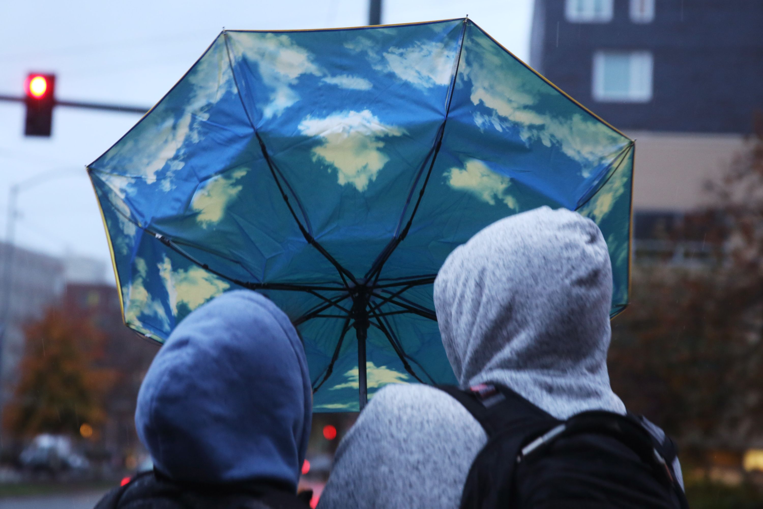
Tuesday's rain marks a return to normal for Seattle after the city set a new November dry streak record of 14 days, breaking the previous 13-day record set in 2000.
- The unusual dry spell was caused by a high pressure system that kept storms out and led to stagnant air, poor air quality and burn bans.
Driving the news: Seattle is predicted to get .25 to .50 inches of rain in 24 hours before the skies dry up again between Wednesday and Thursday, according to Justin Shaw of Seattle Weather Blog and the National Weather Service forecast office in Seattle.
- "It will be lighter than average by November standards," said Shaw, "but it may feel like a storm after the month we've had."
- November is usually Seattle's wettest month with an average rainfall total of 6.31 inches, said weather service meteorologist Dustin Guy. So far this month, Seattle has recorded 1.67 inches.
- But don't assume that's how the month will end, Guy said. "Things have a way of changing quickly around here.”
Wednesday and Thursday are predicted to be mostly cloudy and dry with rain returning Friday, continuing off and on through the weekend, said Guy.
What's next: The Puget Sound region can expect significantly colder temperatures next week with icy winds blowing in from the Fraser River Valley.
- Shaw and Guy both said it's too early to know how cold it will get or whether snow in the lowlands is possible.
- Daytime highs could be in the low 40s with overnight lows in the 30s.