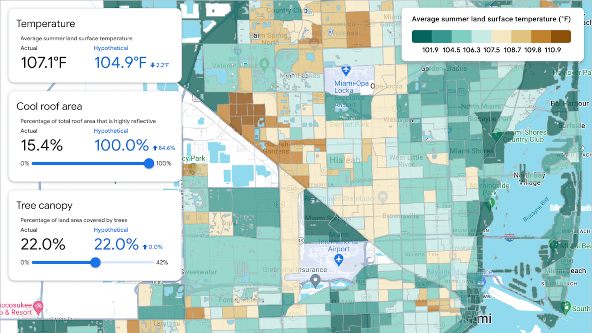
Screenshot of the new Google heat resilience tool, with a focus on Miami-Dade County. Image: Google Research
Google recently launched a tool in 14 cities, including San Antonio, that is aimed at helping city-level decision-makers take steps to lower the impacts of extreme heat.
In San Antonio, 88% of the population lives in areas where urban heat islands can raise summer temperatures by at least 8°, per Climate Central.
Zoom in: The Google tool uses satellite-based, high-resolution land surface temperature data.
It employs machine-learning algorithms to identify buildings, trees and other factors critical in determining how much heat a portion of land absorbs.
It also incorporates indicators of social vulnerability, including income statistics, to identify the areas most in need of heat relief.
Using the model-based tool, officials can see how average summer land surface temperatures would change if certain actions were taken, such as increasing the tree cover of a particular neighborhood or installing cool roofs.
What they're saying: The city of San Antonio's senior sustainability manager Leslie Antunez told KSAT the city will take the tool into consideration but is focused on its partnership with UTSA, which tracks heat vulnerability and allocates resources to the most impacted areas.