Three hikes to see autumn leaves in Salt Lake County

Add Axios as your preferred source to
see more of our stories on Google.
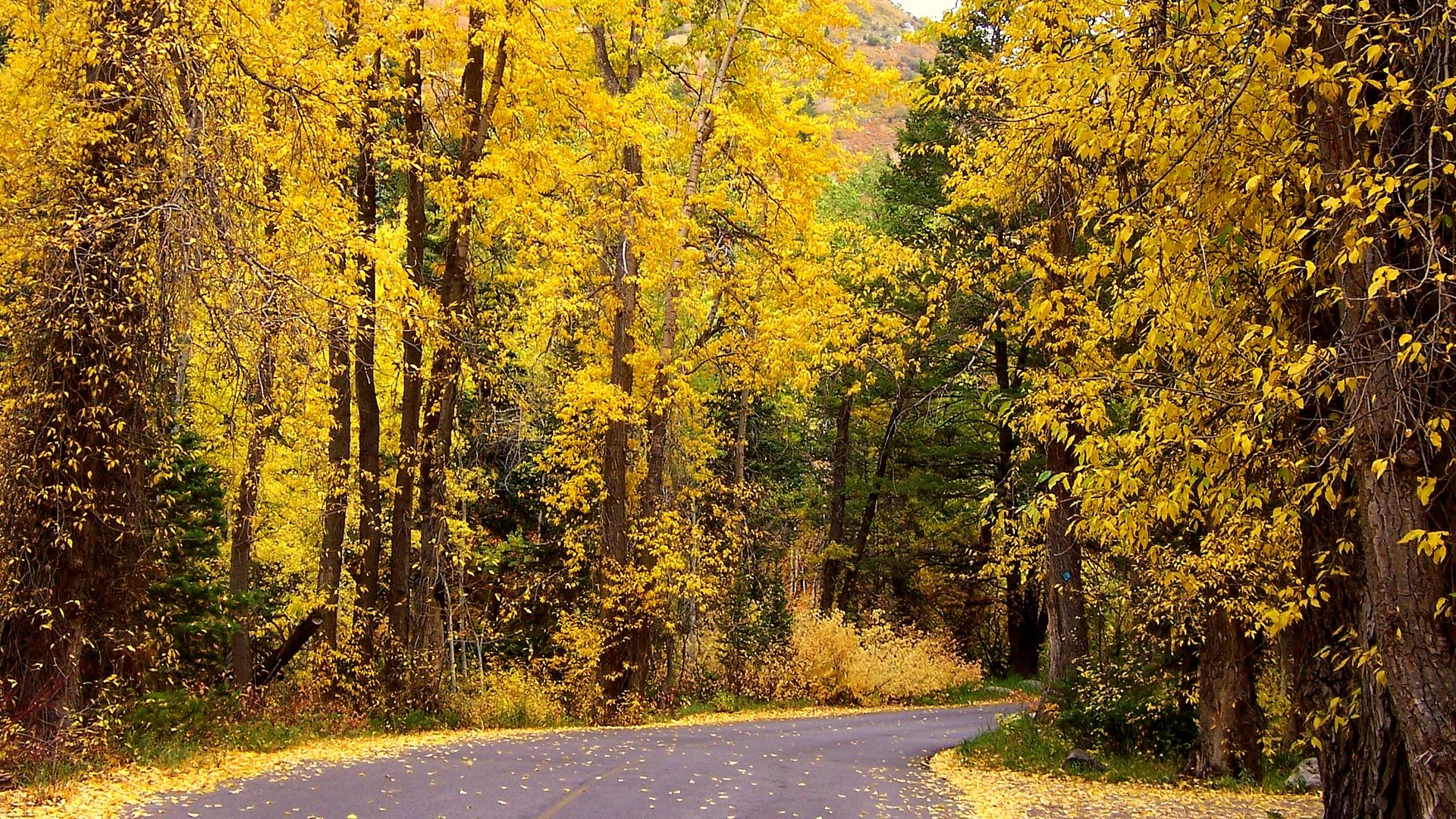
Mill Creek Canyon Road at peak fall colors in 2016. Erin Alberty/Axios
The hills were alive with fall colors this weekend, and they'll probably get even more vibrant in the coming week!
Here are three Salt Lake County hikes with primo views for leaf-peeping.
Elbow Fork, Mill Creek Canyon
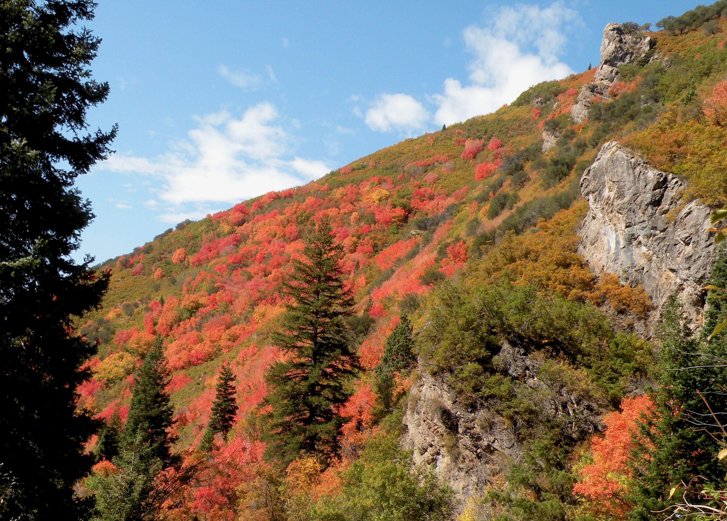
Whether you hike up to Mount Aire or hug the slope on the Pipeline Trail to Burch Hollow, Elbow Fork is a great starting point for views.
One-way distance: About 1.1 miles north and northwest to the Mount Aire pass, 1.75 to the peak.
- Alternately, the Pipeline Trail heads west on a fairly level path and connects with the Burch Hollow trailhead 3 miles down the canyon — but you probably want to turn back after exploring a small lookout about 1.5 miles in.
Location: About 5.9 miles up Mill Creek Canyon Road.
Tip: Erin here! Bikes are allowed on the Pipeline trail, but I've never had a bad run-in with them.
Mt. Raymond, Big Cottonwood Canyon
For reasons both sentimental and objective, this is my favorite Utah hike: rugged terrain, sweeping views and diverse habitats make it feel truly epic.
Distance: 3.75 mi to the peak, though you can mix the route with the Desolation Trail for a side trip to Dog Lake, and even more breathtaking autumn views.
Location: Butler Fork Trailhead is about 8 miles up Big Cottonwood Canyon.
Killyon Canyon
The maples are in it to win it on this Emigration Canyon hike. If you approach the ridge to Lookout Peak, you'll get amazing views — but the trail itself goes through a deciduous forest that glows from the inside this time of year.
Distance: Depends on where you want to turn back, but the ridge is about 2 miles up from the trailhead.
Location: Take Emigration Canyon about 6 miles up from Hogle Zoo; where the road bends sharply south, take Pinecrest Canyon Road north. Parking is about a half mile in. Walk up the road, bearing right, about a half mile more to the trailhead.