Atmospheric river brings flood risk to Portland

Add Axios as your preferred source to
see more of our stories on Google.
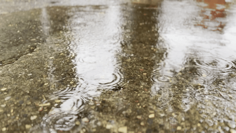
Don't put away that raincoat just yet. Portland is set to see at least a few more days of strong rain and wind.
Why it matters: An atmospheric river is aimed at the Pacific Northwest with the potential to bring localized flooding, landslides and downed trees to some areas.
The latest: Another round of moisture is expected to roll into northwest Oregon Tuesday night and into Wednesday.
- Given all the rain that fell Monday, saturated soils and strong winds could lead to some trees coming down.
- Urban creeks and streams could flood locally, and some tributaries to the Willamette could reach minor flood stage in the Coast Range and the Cascades.
By the numbers: On the extreme edge of things, the National Weather Service said there was a 10% chance the Portland metro area would see between 6 and 8 inches of rain over a 72-hour period starting Monday.
- That's unlikely and would represent a worst-case scenario, the weather service said.
Threat level: A flood watch remains in effect for the area through 4am Friday morning.
- Officials asked residents to remain vigilant, especially those who live below steep slopes or areas that recently burned or are otherwise prone to landslides.
Yes, but: Despite all the precipitation, temperatures are expected to remain warm and little snow accumulation is expected in the Cascades below about 6,000 feet.
What's next: The rain is expected to ease by Thursday and should transition to mostly showers heading into the weekend.