How to take on Portland's 4T loop


Add Axios as your preferred source to
see more of our stories on Google.
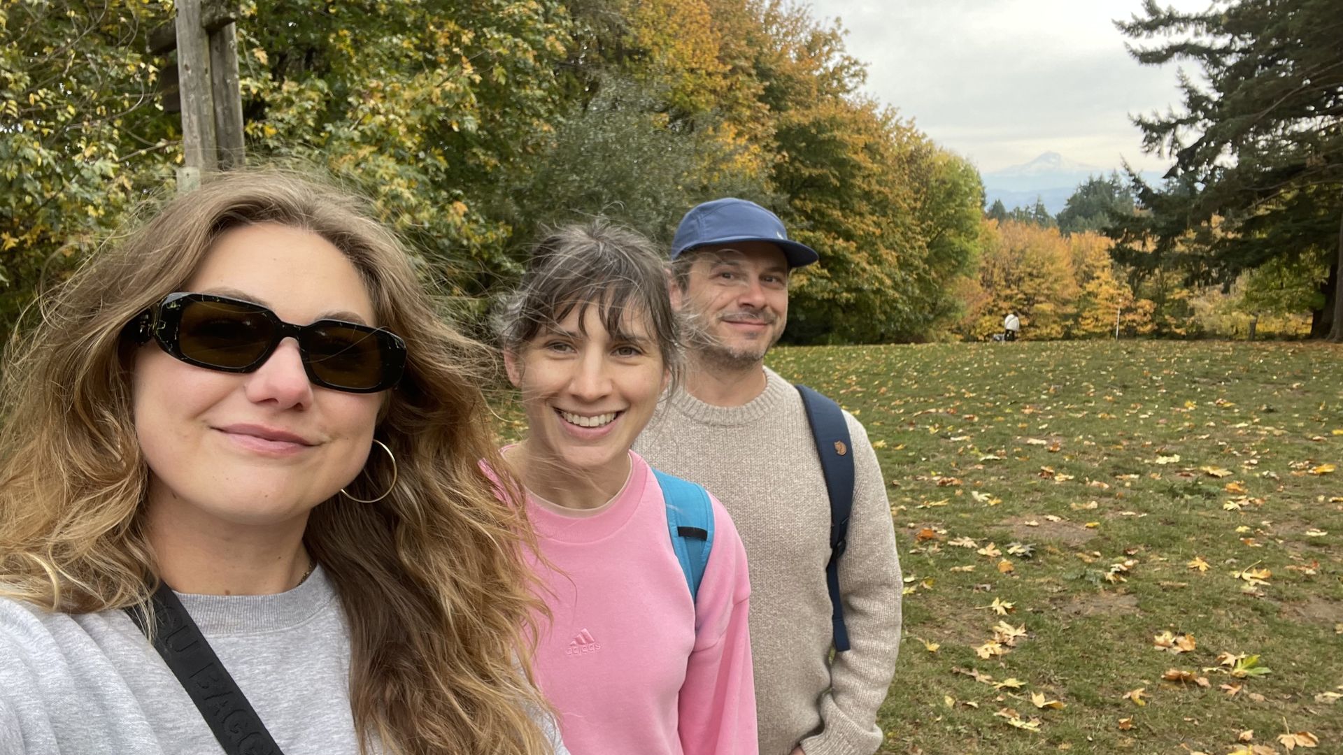
Meira, Kale and our intrepid managing editor, Hadley Malcolm, take in the fall colors and a view of Mount Hood at Council Crest Park. Photo: Meira Gebel/Axios
If you're looking to see what Portland's west side has to offer, both in terms of sights and modes of transport, look no further than the 4T.
The big picture: The loop — named for the trail, tram, trolley and train you'll take to complete it — shows off Portland's hills, parks and public transit all in one go.
State of play: The Axios Portland team went on the journey last week and had a blast, even if our calves were a little sore after.
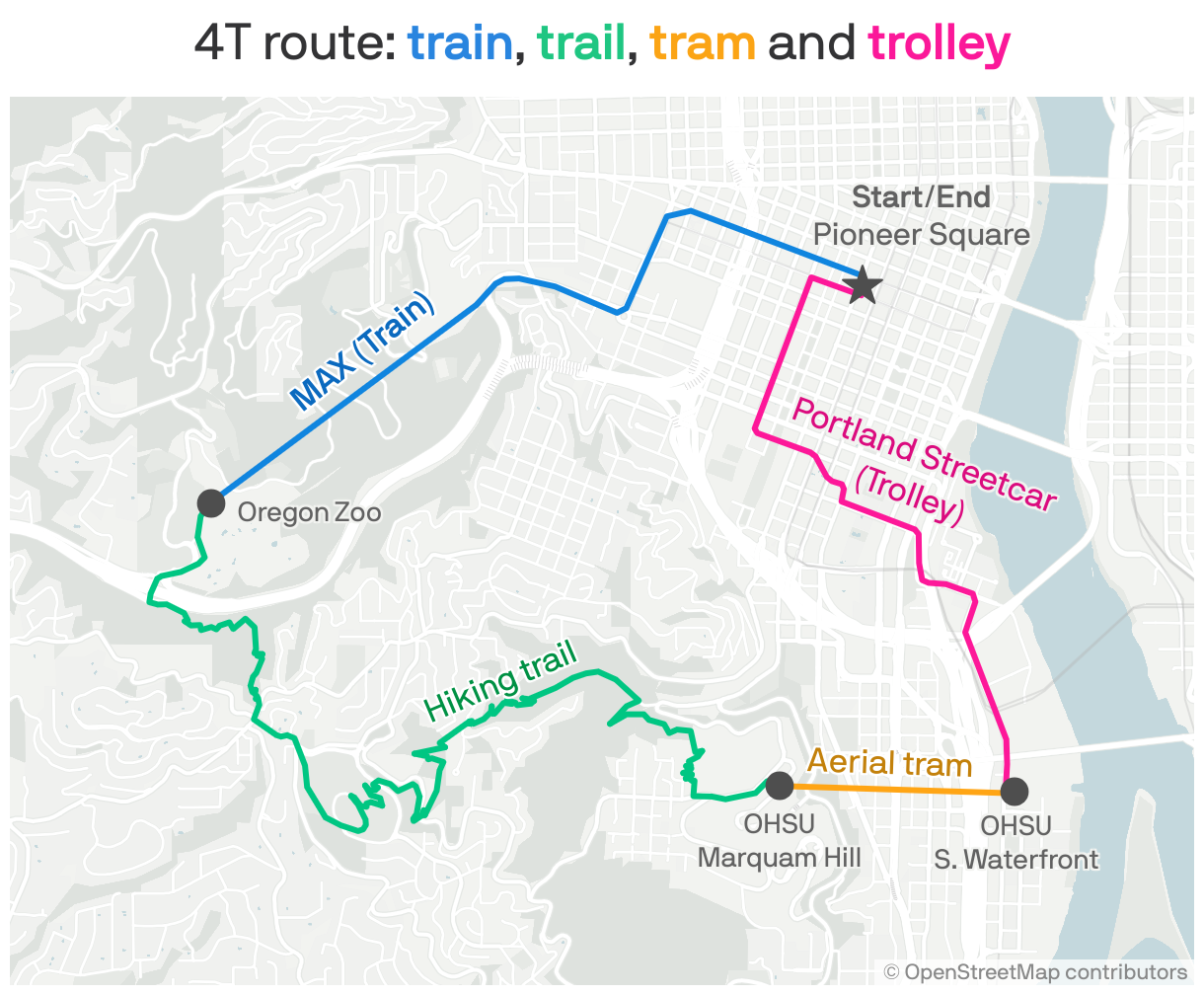
Zoom in: The route is a loop, so you can technically start at any point, but we embarked from Pioneer Courthouse Square after grabbing coffee at Less and More.
- The train portion takes you on the MAX from downtown to the Oregon Zoo stop, the deepest transit station in the country at 259 feet underground and one of the few places along the trip with public bathrooms.
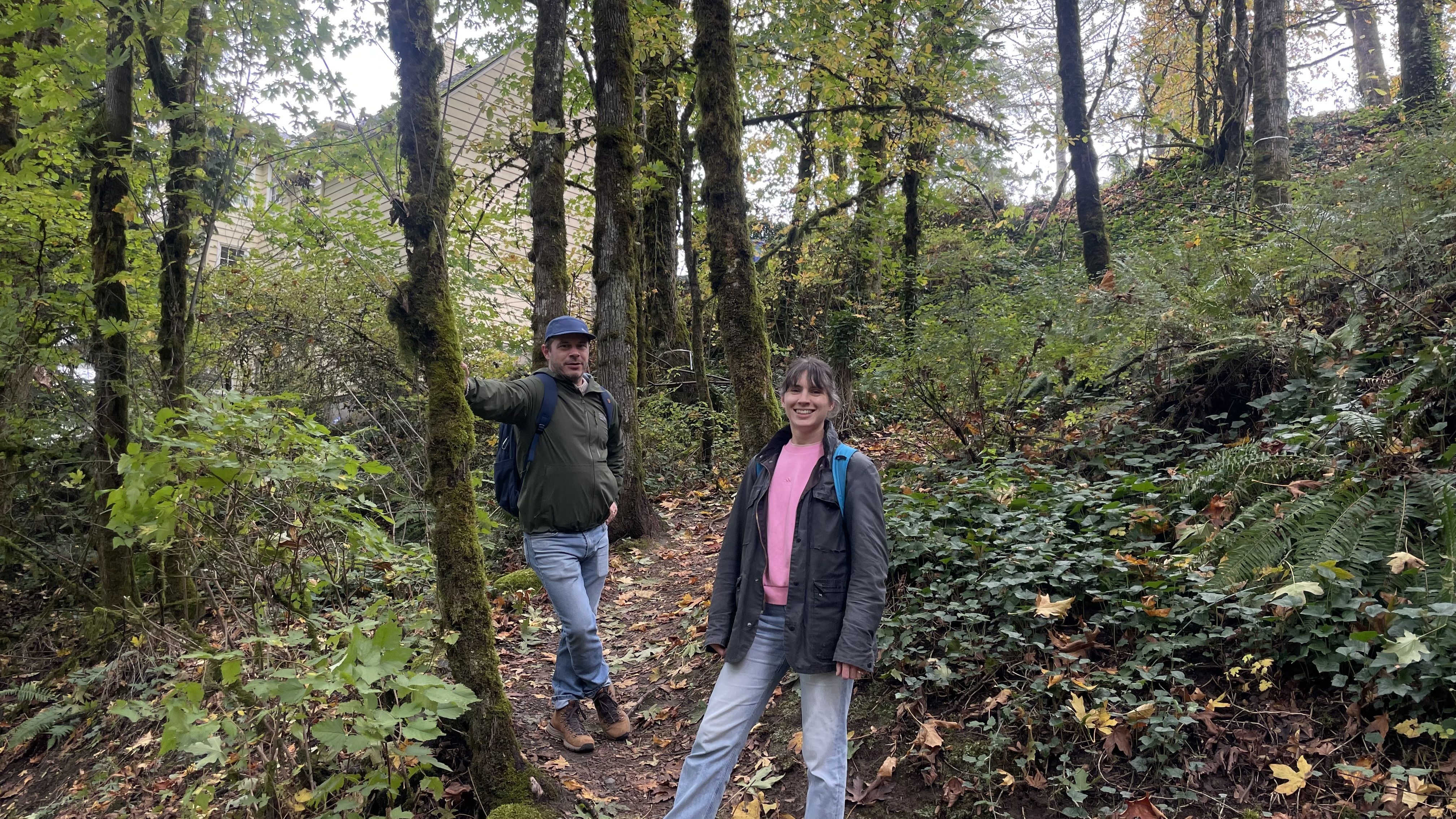
- From there, you'll follow the Marquam Trail from Washington Park through the Southwest hills to Council Crest Park — Portland's highest point at 1,073 feet — then down to Oregon Health & Science University.
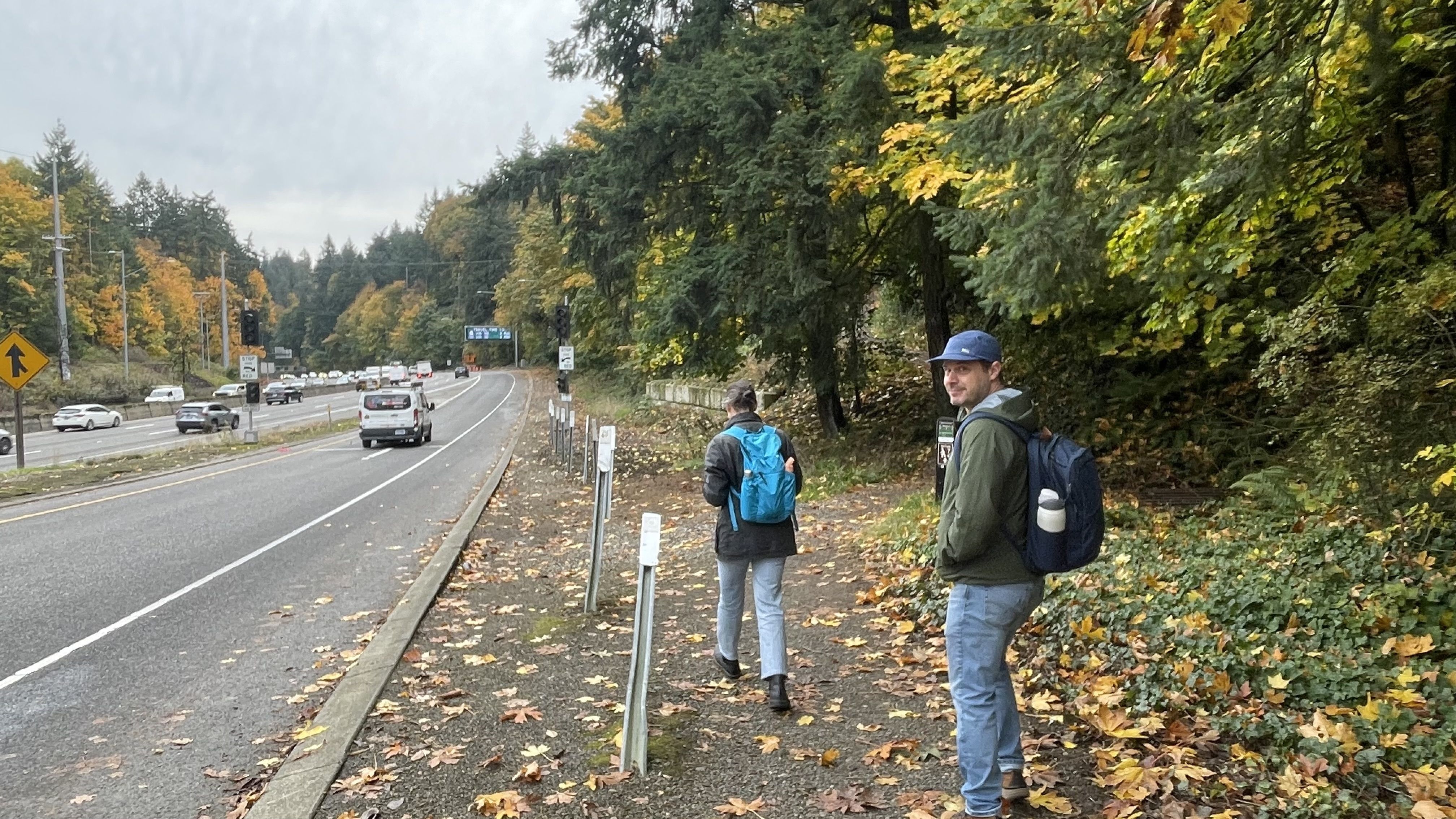
- The trail is well marked (look for the colorful 4T logo), except for one section where we felt like we were walking onto an onramp of U.S. 26.
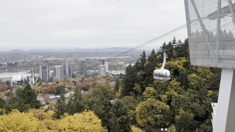
At OHSU, you'll hop on the tram for a quick 500-foot descent to a Portland Streetcar stop, which isn't really a trolley, but we'll allow for some flexibility here for the sake of alliteration.
- A short ride on the streetcar drops you back pretty much where you started downtown. Boom! You're all done!
By the numbers: Over the course of two hours and 51 minutes, the Axios Portland team traversed 10.84 miles, 3.7 of which were on foot. The trail section ate up the most time — and energy — at one hour and 45 minutes.
- Elevation gain: 1,699 feet
- Steps: 11,018
- Cost: $2.80 for MAX, $8.75 for round-trip tram pass and $2 for streetcar.
Zoom out: The 4T is the brainchild of Don Baack and his son Eric, who came up with the idea when the tram was being constructed in 2006.
- The pair were "discussing how to make a greater public asset out of the huge expenditure for the tram," per the 4T website. The project cost $57 million to build (including $8.5 million provided by taxpayers).
Kale's thought bubble: I tend to prefer my adventures a little deeper into nature where you can't hear the sounds of the city, but I'd definitely do this loop again for the tram ride alone.
Meira's thought bubble: This experience reaffirmed to me that we live in one of the most walkable, pedestrian-friendly cities in America (though there's still work to do to make it safer).
- While there's been a lot of attention on one facility in South Portland lately, the surrounding neighborhoods, parks and streets still hum with routine life.

- Trail runners pounded the mud in front of us, Portland State University students gossiped about professors on the streetcar and retirees with walking sticks crammed to the front of the tram to get the best view of peak fall foliage.
The bottom line: The 4T is a fantastic reminder that you don't have to leave city limits to find a great adventure.