Jul 31, 2024 - Climate
Philadelphia begins August with another heat wave

Add Axios as your preferred source to
see more of our stories on Google.
The next heat wave is bringing temperatures into the 90s in the Philadelphia region Wednesday.
Why it matters: Fall can't come soon enough.
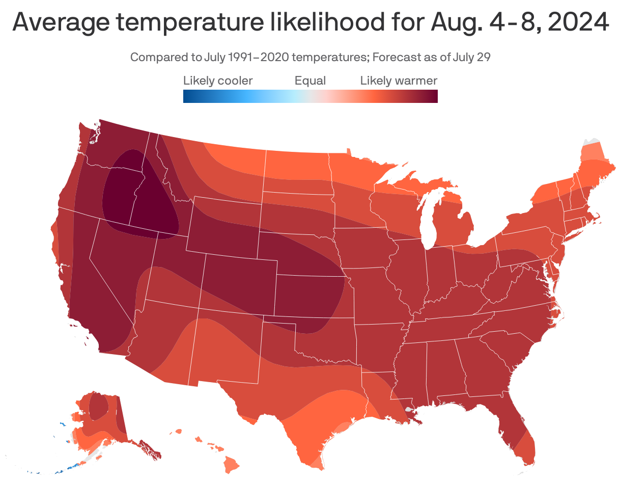
Driving the news: The region is slated to see temps linger in the low- to mid-90s through at least Monday, per NOAA.
- The agency warns that heat indices could climb to near or more than 100 starting Thursday.
Threat level: Temps will reach even higher in certain hotspots in Philly.
- That's because more than half of Philadelphians live in "heat islands" — or areas with more asphalt "trap" heat, causing higher temps compared to surrounding areas, per Climate Central.
The big picture: Philly's seen several long heat waves this summer.
- Earlier this month, temps were 90 or above for seven straight days (July 4-10), NOAA meteorologist Alex Staarmann tells Axios.
- We also logged a six-day heat wave between June 18-23.
What we're watching: Philly proper is on track for its third warmest summer since 1874, Staarmann says. Temps have averaged 79.2 a day since June 1.
- 2010 was the warmest summer on record with an average temp of 79.6.
Yes, but: Temps could cool off later in August.
- Temps have up to a 50% chance of being above normal for the entire month, which Staarmann notes is not a strong probability.