Dallas adds location tracking to 911 response

Add Axios as your preferred source to
see more of our stories on Google.
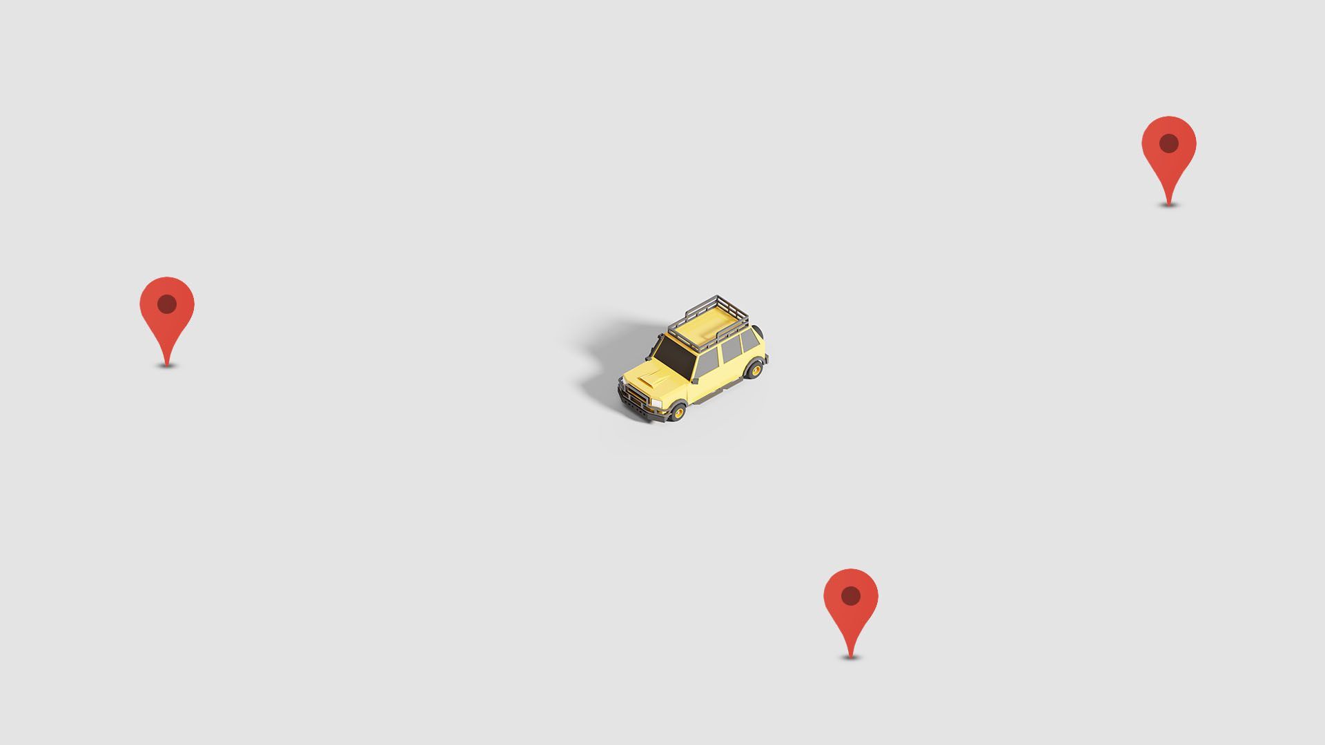
Illustration: Rebecca Zisser/Axios
Dallas is adopting new technology that will enable 911 callers to convey their precise location to first responders and get help quicker.
Driving the news: The Dallas Police Department, which staffs the city's 911 dispatch center, announced Friday that police and fire officials decided to adopt the "what3words" geocode system after a successful trial run.
Why it matters: Started by a London-based startup, the free tool simplifies how people can share their location in an emergency.
- It's becoming more popular globally and has different uses, including helping stranded hikers in Canada, injured horse riders in the U.K. and delivery drivers in India.
- The app can especially be useful at large venues with many entrances.
How it works: What3words can be downloaded on iPhones and Android devices, or accessed through a web browser.
- The tool divides the world into three-meter squares and gives each square a three-word name.
- People dialing 911 in Dallas can provide the code to their call taker if they have trouble explaining where they are.
The intrigue: App creators say it works in areas with no phone signal.
What they're saying: "Being able to get a location quickly is everything in an emergency situation, because time is crucial," Dallas police Chief Eddie Garcia says.
- "An additional tool like what3words will help us find a location quickly and respond to an emergency faster to get help to those who need it."
Of note: U.K. officials used what3words to tell mourners where to queue up to pay respects to the late Queen Elizabeth II.
- Although the intent was to help the large crowds, a "minor administration error" led to the app briefly telling people the line started in California and North Carolina.
What's next: Subaru and Jaguar Land Rover plan to integrate the technology into some vehicles.