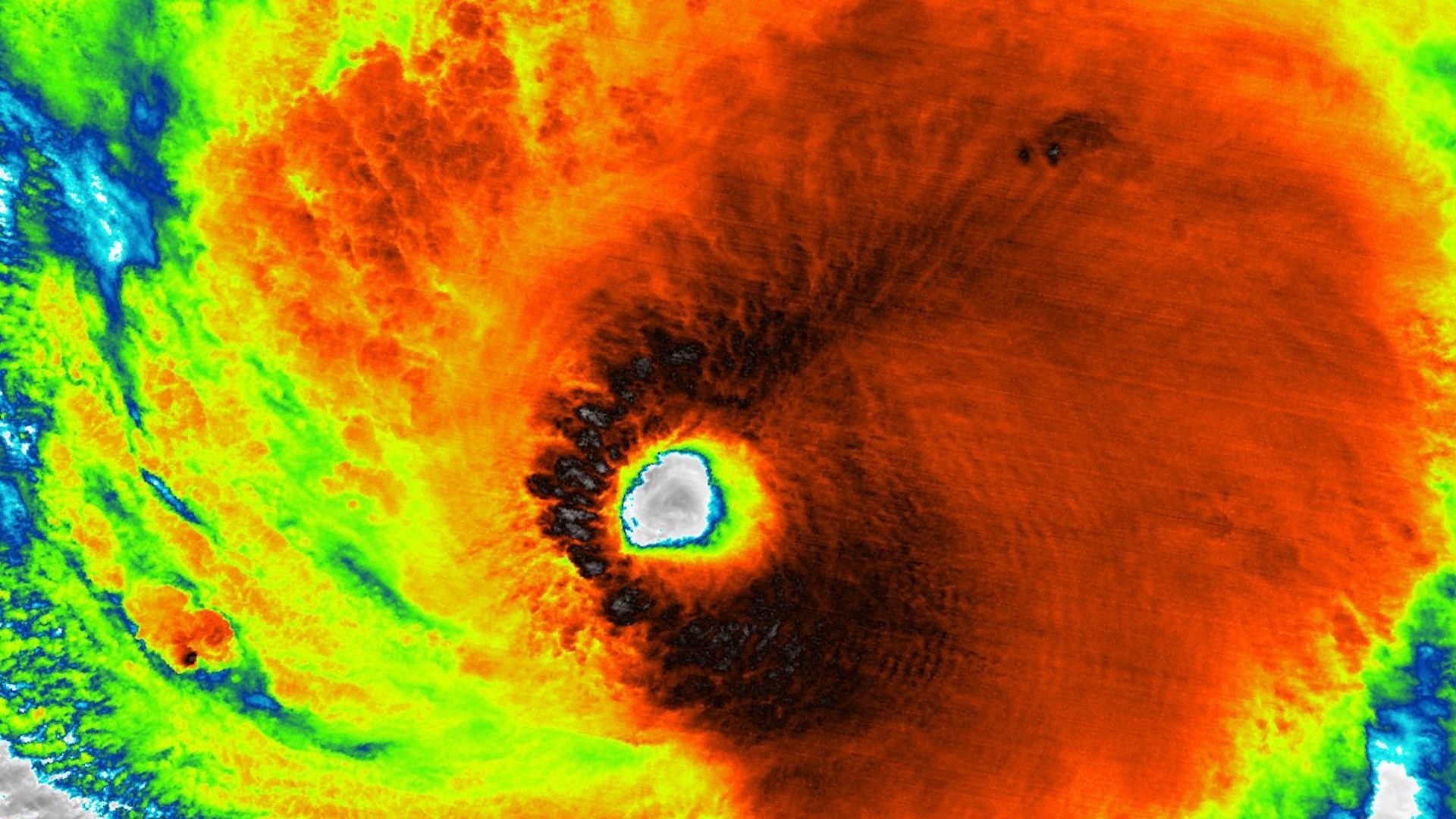
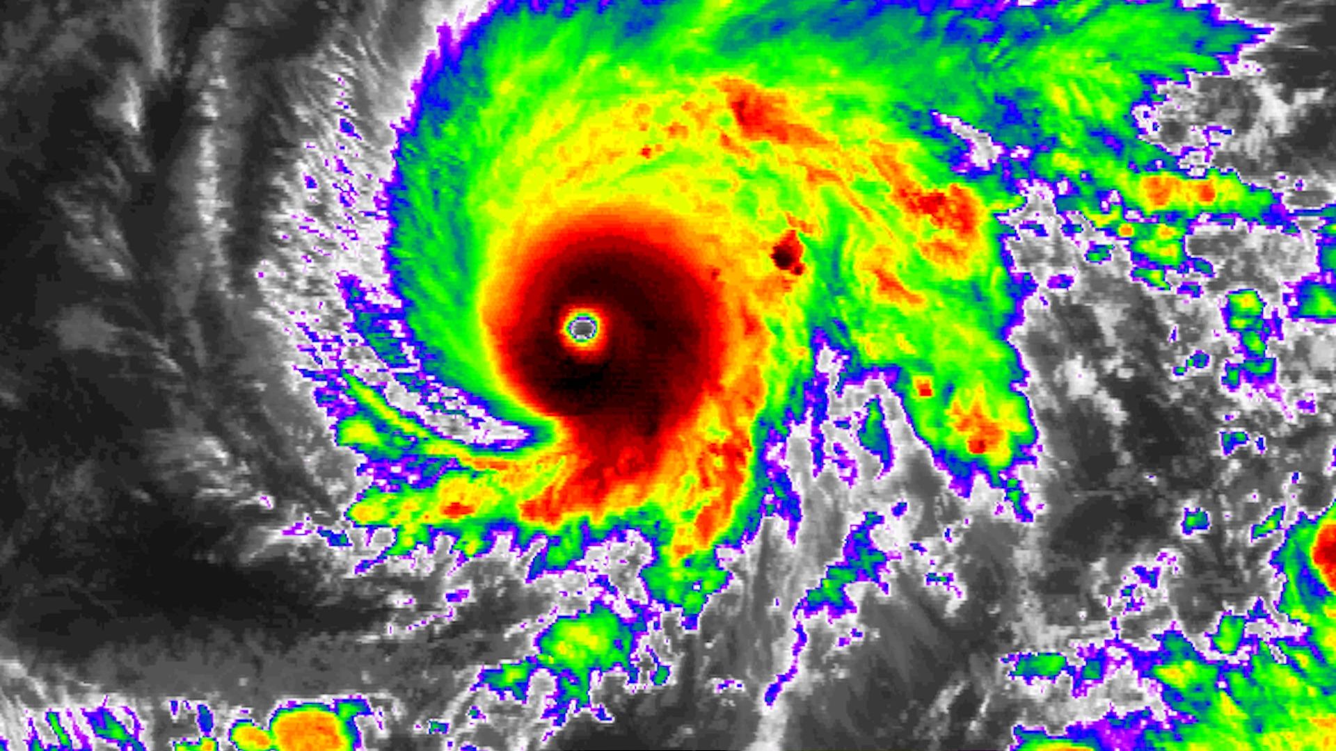
Hurricane Lane has come closer to Hawaii than any Category 5 storm has come in modern records, and it threatens to unleash life-threatening destruction as it approaches the islands starting late Wednesday and lasting into Saturday, according to the National Hurricane Center.
Why it matters: The storm's exact track is still uncertain, with some computer models projecting it will zip out to sea south of Hawaii, and others showing a devastating near-direct hit on one or more islands. Official forecasts show it will come close enough to produce damaging winds, deadly flash floods from upwards of 2 feet of rain, and pounding "extreme" surf. Waves could exceed 20 feet on south facing shorelines.
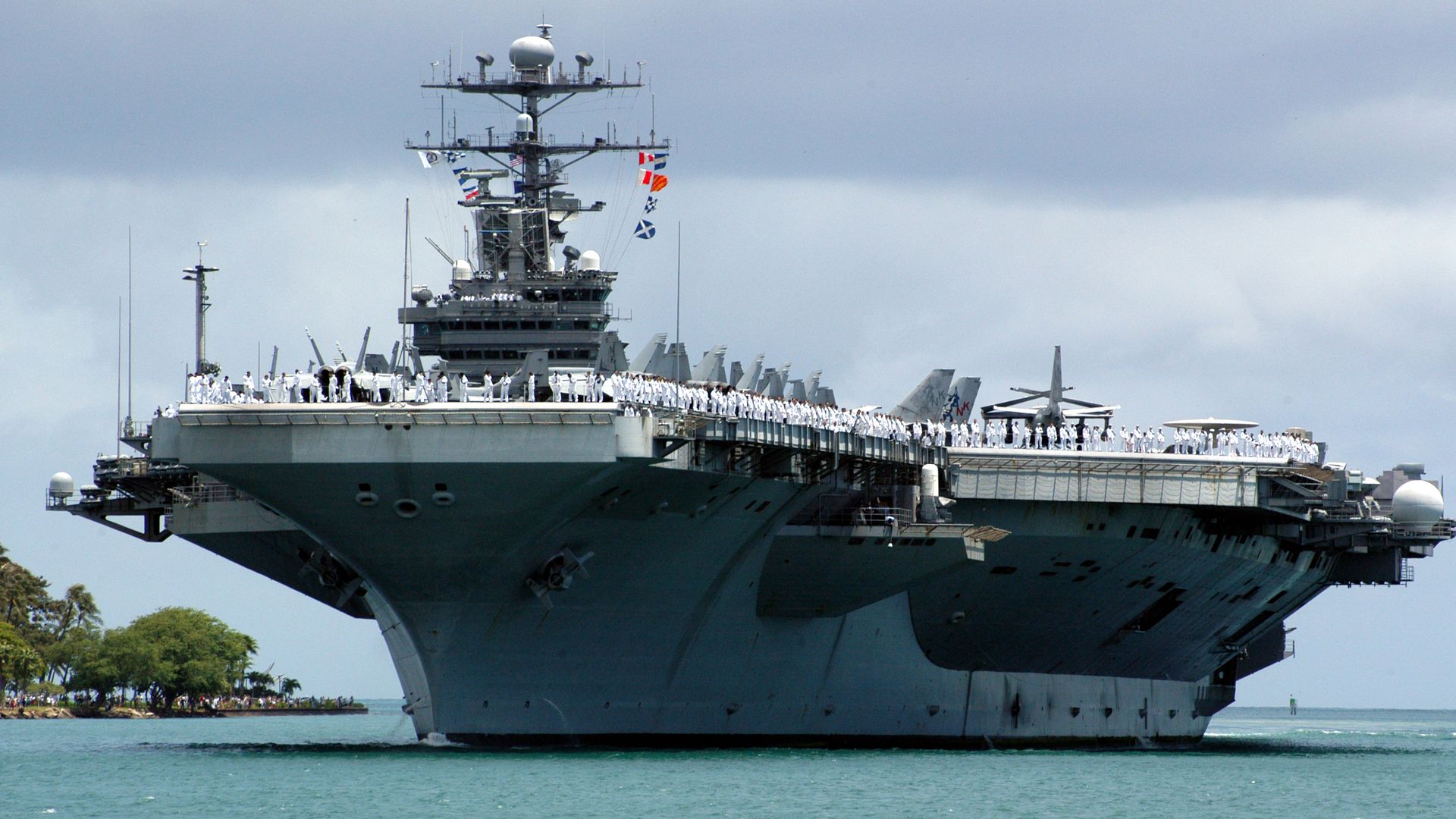
The U.S. Navy is moving its ships based in Pearl Harbor out to sea to limit the risk of significant damage to ships and piers in preparation of Hurricane Lane.
The details: According to the Defense Department, the 29 surface ships and submarines stationed at Naval Station Pearl Harbor "will remain at sea until the threat from the storm subsides and Hawaii-based Navy aircraft will be secured in hangars or flown to other airfields to avoid the effects of the hurricane." The ships will be repositioned in Hawaii following the storm.
Hurricane Lane, an intense Category 4 storm, is poised to move perilously close to the Hawaiian islands later this week, according to updated forecasts on Tuesday morning. Hurricane watches, meaning that hurricane conditions could hit within 48 hours, are in effect for Hawaii and Maui counties.
The big picture: Hurricanes typically steer clear of or weaken before reaching Hawaii, due largely to cooler ocean temperatures closer to the islands. However, right now, the waters are warm enough — about 0.5°C, or 0.9°F, above average for this time of year — to support a hurricane. There is even a possibility that a weakened Lane could be the first hurricane to make landfall in Honolulu since the Hawaii's statehood.