
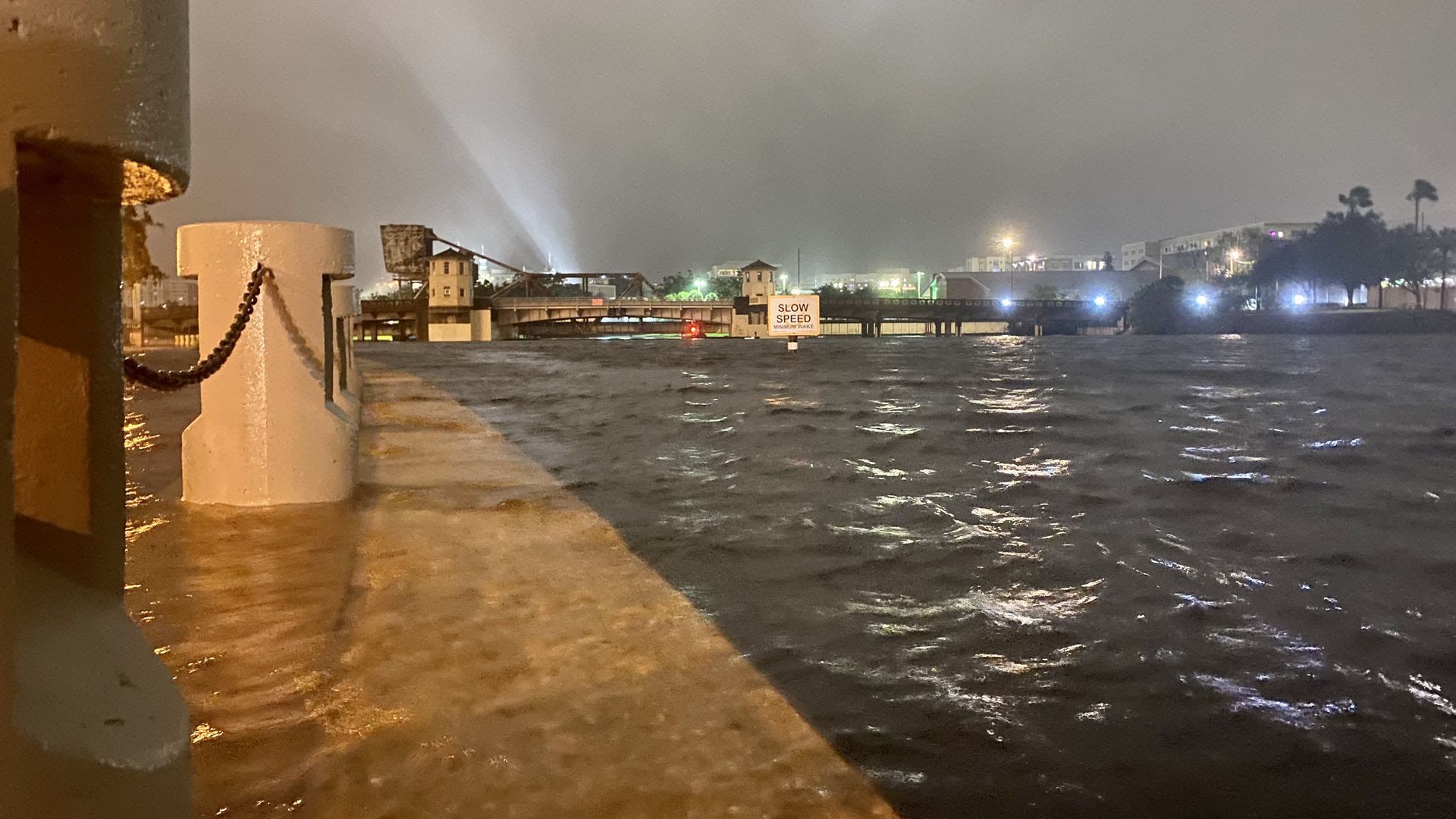
Storm surge from Tropical Storm Eta breached the Hillsborough River seawall near the Straz Center for the Performing Arts in downtown Tampa in November 2020. Photo: Ben Montgomery/Axios
The floodwaters that deluged the area in November 2020 — as Tropical Storm Eta skimmed by Tampa Bay some 70 miles out in the Gulf — are a sign that we're in for far worse.
Why it matters: Eta was a warning shot, according to a series of scary special reports from the Tampa Bay Times.
- In 30 years, the same storm surge will flood two to five times as many properties — between 17,000 and 40,000.
Flashback: Eta passed at high tide, breaching seawalls and sending floodwater into areas that don't normally flood.
- But with global-warming caused sea-level rise, even low tides are getting higher.
The big picture: Times reporters Langston Taylor and Zachary Sampson worked with scientists at the National Hurricane Center to show how much more of the city would flood if a storm identical to Eta hit after sea levels rise.
🌀 The bottom line: Tampa is more vulnerable to hurricanes than other parts of Florida. It won't take a big Category 5 storm to cause mass hardship here.
- Even a sloppy Category 1 or 2 could be devastating.

Get more local stories in your inbox with Axios Tampa Bay.
More Tampa Bay stories
No stories could be found

Get a free daily digest of the most important news in your backyard with Axios Tampa Bay.