What "horrific" Hurricane Milton could look like for Tampa Bay

Add Axios as your preferred source to
see more of our stories on Google.
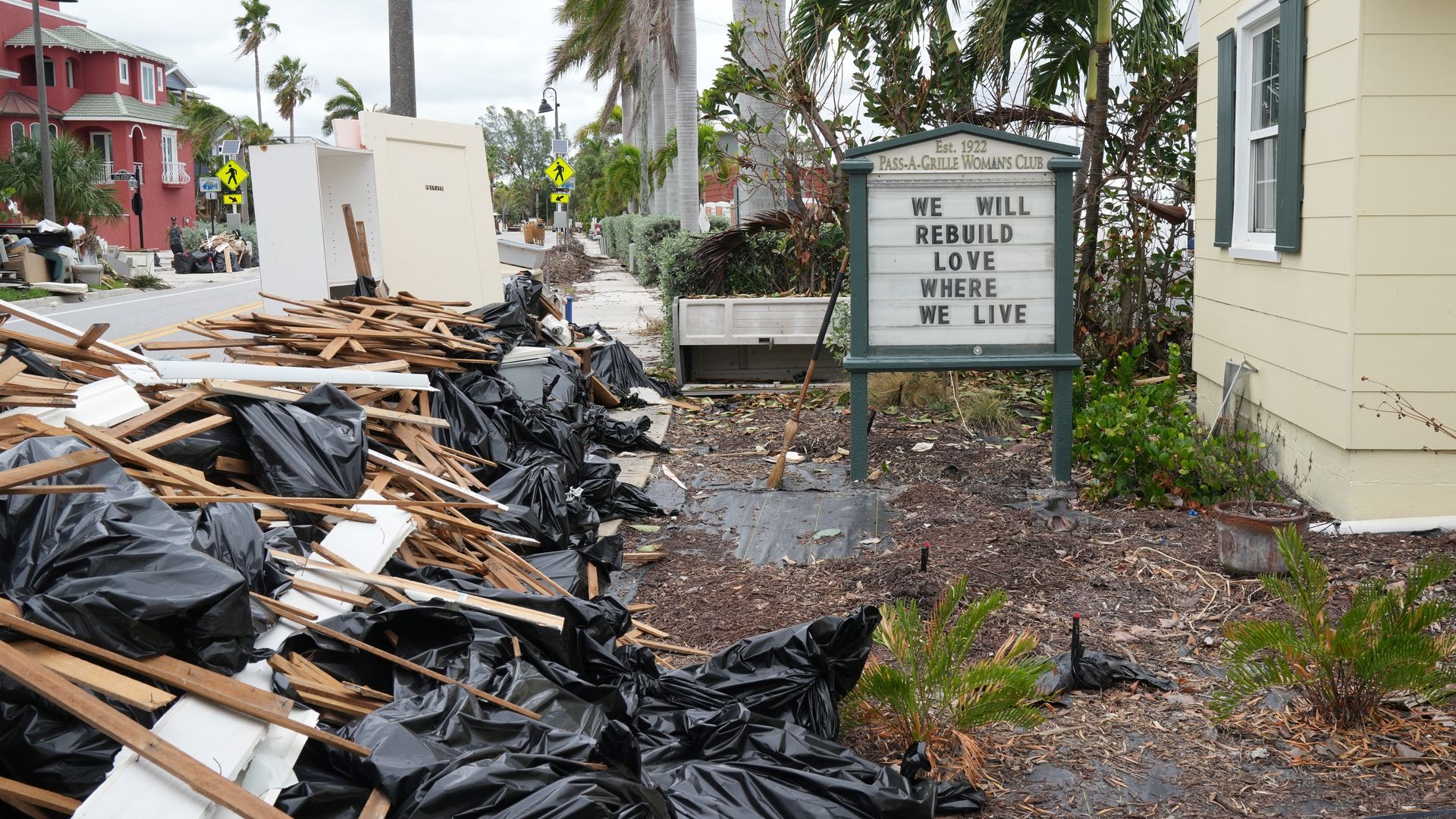
Debris from Hurricane Helene remained in Pass-A-Grille on Monday. Photo: Bryan R. SMITH/AFP via Getty Images
The news around Hurricane Milton only grew more dire Monday.
State of play: What began as a low-grade storm in the morning strengthened to a Category 5 monster by lunchtime, boasting sustained winds of 180mph.
- Tampa Bay remained squarely in its track with the window for change rapidly closing.
- County officials across the region all but begged residents in active evacuation zones to get out: "If you remain there, you could die," Hillsborough County Fire Chief Jason Dougherty said.
The latest: It's still too early to tell where and at what intensity Milton will strike the state, but Tampa Bay will experience major impacts regardless.
- "Unfortunately, no way to candy coat this," local meteorologist and unofficial Tampa Bay weather czar Denis Phillips wrote Monday evening on his Facebook page.
- "It's about as bad as it gets."
Here's what that could look like:
Like Hurricane Helene, storm surge will begin hours before Milton arrives, Miami-based meteorologist John Morales told Axios.
- That makes evacuating early extra important; Hillsborough leaders suggested being in a safe location by 7am Wednesday.
The deepest and deadliest surge will come when the core of the hurricane arrives at the coast, Morales said.
- The National Hurricane Center projects a "life-threatening" surge of up to 15 feet above ground level.
- That water can travel miles inland, hence why officials are calling for evacuations up to zone C.
- Pinellas will call for the next zone if the storm surge projections go any higher, emergency management director Cathie Perkins said.
The projected surge is more than double what Helene brought just two weeks ago.
- Look to Hurricane Ian as a possible analog: the 10-15 feet of surge killed dozens of people in Southwest Florida, ripped homes off their foundations and washed away chunks of the Sanibel Island Causeway.
Flooding from rainfall is also a concern. Milton could dump enough rain to overflow rivers and retention ponds, overwhelm drainage systems, close roads and flood homes, per the National Weather Service.
While water remains the deadliest concern, a hurricane as powerful as Milton comes with a wind risk, too.
- Mobile homes will not stand a chance, Morales said. Those residents should leave.
Residents who aren't in evacuation zones and are thinking about hunkering down should consider:
- The age and frame of their house. Concrete block tends to be sturdier than wood, and newer construction is generally safer than older, Morales said.
- Whether your windows are made from impact glass and/or whether you have hurricane shutters.
- Whether you and your family have the resources to go without power and water for up to a week.
Zoom in: St. Petersburg is considering shutting down its Northeast and Southwest sewage plants ahead of the storm's arrival.
- That would leave residents in those areas unable to flush toilets or shower for at least a day, per the Tampa Bay Times.
The bottom line: "It's just an incredible, incredible, incredible hurricane," Morales said during a newscast on Miami's NBC affiliate, holding back tears as he walked through the storm's menacing strength.
- "This is just horrific."