
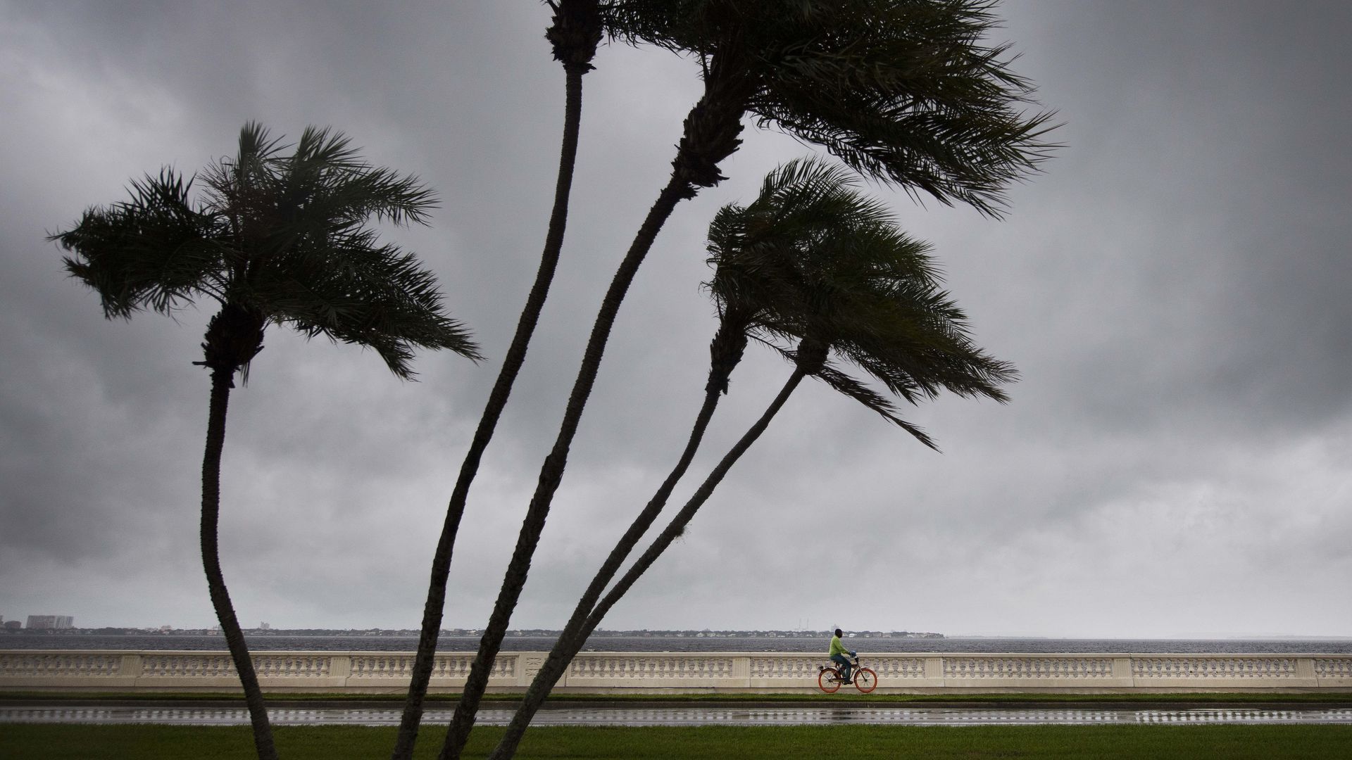
A man rides a bike down the Bayshore Boulevard sidewalk as a storm rolls in. Photo: Jim Watson/AFP via Getty Images
Starting next week, the National Weather Service will begin using more specific lingo to alert residents to the severity and potential impacts from thunderstorms — similar to tornado and flash-flood warnings.
Why it matters: 13 of the 22 billion-dollar weather and climate events in the U.S. last year were severe thunderstorms.
What to expect:
- Destructive: Baseball-sized hail and/or 80mph winds; will activate cell-phone alerts.
- Considerable: Golf-ball-sized hail and/or 70mph winds; no cell-phone alert.
- Baseline: Quarter-sized hail and/or 50mph winds; no threat tag means the storm is expected to be at or below base level.

Get more local stories in your inbox with Axios Tampa Bay.
More Tampa Bay stories
No stories could be found

Get a free daily digest of the most important news in your backyard with Axios Tampa Bay.