Louisiana's map is shrinking again

Add Axios as your preferred source to
see more of our stories on Google.
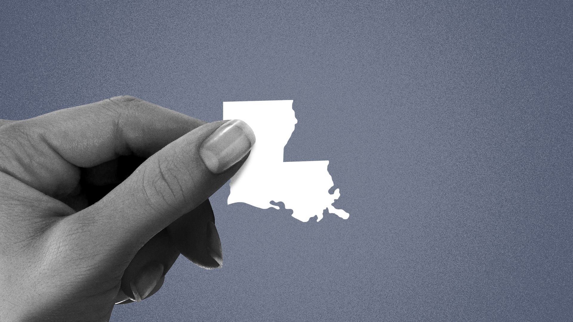
Illustration: Maura Kearns/Axios.
Louisiana's map is set to shrink again next year as federal officials recognize the ongoing effects of sea level rise on the state's marshy outline.
Why it matters: It's yet another reminder that climate change is literally shifting the ground beneath our feet.
The big picture: The U.S. Geological Survey reviews Louisiana's coastal wetlands about every five years, according to a spokesperson with the government agency.
- The resulting maps are used by planners, academics, and throughout government, including the National Weather Service.
- For folks in south Louisiana, the NWS maps are especially familiar given their use in hurricane tracking, and the newest update will be no different. The agency is already prepping changes to how it'll provide more detailed forecasts for the local region based on the new maps, says Mike Buchanan, the meteorologist in charge at the NWS Slidell office.
Catch up quick: Louisiana's coastline has been a shifting miasma of muck ever since people started trying to track it.
- That's because the Mississippi River and the sediment it spits out doesn't naturally want to stay in one place. As a result, this part of the country is one of the world's newest land masses, according to Earth.org.
- But climate change is making a mess of things, too. With the sea level rising and stronger storms chewing away at its edges, Louisiana's boot is constantly unraveling. Any maps are generally outdated by the time they're drawn, Buchanan says.
- Since 1932, according to the USGS, the state has lost about 25% of its land.
Fun (or maybe not so fun?) fact: The USGS infamously described that loss in 2011 as akin to "one football field per hour."
- The oft-repeated statistic, however, assumes a steady, constant land loss.
Zoom in: If you've ever been on Louisiana's edge, you know that deciding what's land and what's water is a murky business.
- "Before you even reach the coast, there's water everywhere," Buchanan says. "You have all these little ... splotches of land that are everywhere, so it's challenging."
The newest maps, Buchanan says, represent "a significant change."
- Though neither the USGS nor NWS was willing to share images or acreage counts yet, Buchanan says five parishes — St. Bernard, Jefferson, Lafourche, Terrebonne and Plaquemines — were primarily impacted.
- Plaquemines Parish in particular, he says, will look "significantly thinner and smaller."
What we're watching: The government agencies will unveil the new maps in March 2026, Buchanan says.
- Look for the NWS Slidell office to share details soon on how its forecast messaging will change.