Local Brief
How a trail connecting San Antonio and Austin can protect water

Add Axios as your preferred source to
see more of our stories on Google.
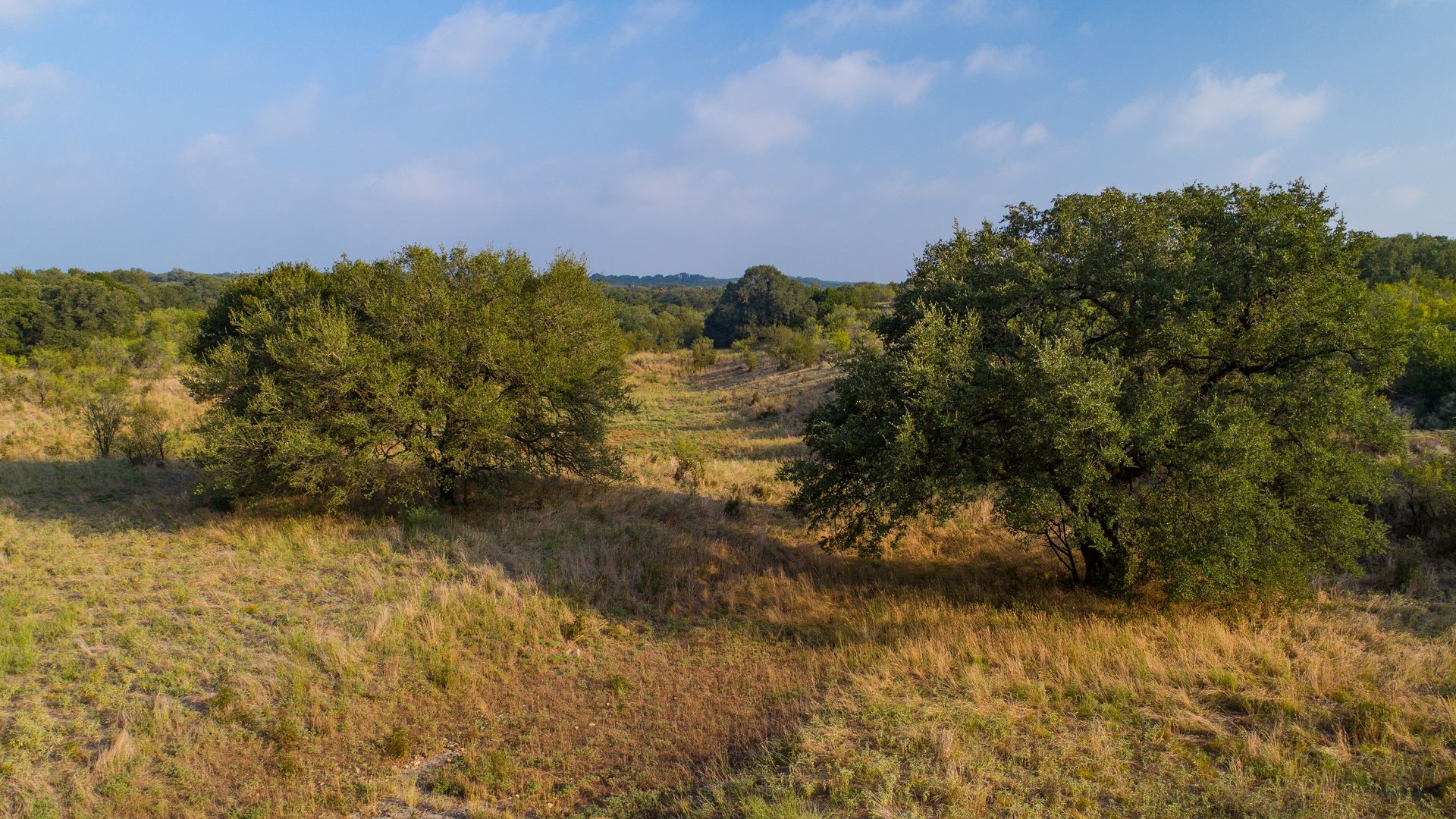
The Presa Grande site near San Marcos. Photo: Courtesy of Jennifer M. Ramos
As development accelerates across the booming Interstate 35 corridor between San Antonio and Austin, a nonprofit is working to protect water access — one trailhead at a time.
Why it matters: Rapid population growth in Central Texas is placing more stress on water sources as San Antonio experiences its most intense drought in decades.
State of play: The Great Springs Project is coordinating a trail that will run over 100 miles from San Antonio to Austin, a resource for hikers, bikers, runners and more. About one-third of it is already completed, Emma Lindrose-Siegel, chief development officer at the Great Springs Project, tells Axios.
- The trail aims to connect: the San Antonio Springs, which includes the Blue Hole at the University of the Incarnate Word; the Comal Springs in New Braunfels' Landa Park; the San Marcos Springs in Spring Lake; and Austin's Barton Springs.
- To build it, the nonprofit is conserving natural space above the Edwards Aquifer recharge zone, an area that's vital to preserving San Antonio's drinking water.
How it works: The recharge zone is where fractured limestone allows water to flow into the aquifer.
- Much of the recharge zone sits just north of I-35 around New Braunfels and San Marcos. As the population in that region explodes, the land over the recharge zone is vulnerable to new development.
- Concrete and asphalt surfaces don't absorb water — meaning less water is likely to make it into the aquifer if there's development over the recharge zone.
- Protecting the recharge zone is also a form of flood defense; the more water the aquifer absorbs, the less runoff there is elsewhere.
By the numbers: The Great Springs Project's goal is to conserve about 50,000 acres over the Edwards Aquifer's recharge and contributing zones; the group is about 10% of the way there after launching in 2019, Lindrose-Siegel says.
Zoom in: An area the nonprofit calls Presa Grande sits outside San Marcos and has "tremendous" recharge value for the aquifer, Lindrose-Siegel says.
- Presa Grande was slated for a new housing development, but the Great Springs Project worked with buyers on conservation easements, or agreements to voluntarily protect natural features on the property by keeping housing and development off it.
- They then obtained a grant from the Lower Colorado River Authority to build a trail there; construction is underway.
Between the lines: The finished trail system could cost about $1 billion in public and private funds.
- It could bring more than $500 million in economic activity annually across Bexar, Comal, Hays and Travis counties, per a report commissioned by the San Antonio River Authority.
What they're saying: "We believe conservation is really one of the best tools we have to preserve and protect our water resources," Lindrose-Siegel says.
- "If we don't act now to conserve the land, the window of opportunity will close, with all of the development that's happening in our four-county region."
What's next: The Great Springs Project aims to finish the trail system by 2036.