Isaias expected to strengthen to near Category 3 strength

Add Axios as your preferred source to
see more of our stories on Google.
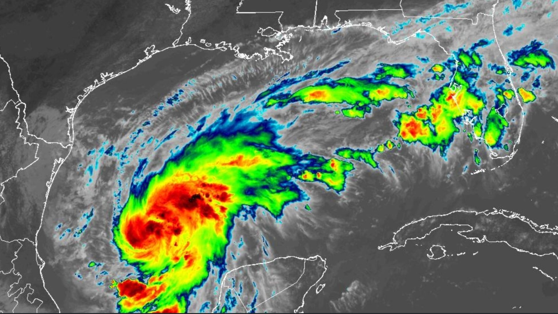
Tropical Storm Isaias on satellite Wednesday afternoon. Image: NOAA
Tropical Storm Isaias is rapidly strengthening in the Gulf and is expected to be nearly a Category 3 hurricane before making landfall this weekend near the Alabama-Florida state line.
Why it matters: Hurricane and tropical storm watches are in effect from Louisiana to Florida.
The big picture: Isaias is expected to strengthen into a hurricane Thursday, the first of the Atlantic season.
- The storm's track continues to shift east, with landfall now expected overnight Friday between Gulf Shores, Alabama, and Pensacola, Florida.
- It's moving fast, getting better organized and growing in size, the National Hurricane Center says.
- It's forecast to have peak winds of 110 mph, putting it just below the 111 mph threshold for a Category 3 hurricane.
Zoom in: New Orleans is now outside the storm's cone, but NHC says residents from Louisiana to the Florida Panhandle should monitor Isaias closely.
- In Louisiana, a storm surge watch is in effect from the mouth of the Mississippi River east to Florida.
- A tropical storm watch is in effect from the Jefferson-Plaquemines parish line west to Bay St. Louis, Mississippi. New Orleans East is included, but not the rest of the metro.
- A hurricane watch is in effect from Bay St. Louis to Indian Pass, Florida.
- See the latest track.
Threat level: Officials in New Orleans and Jefferson Parish say they are monitoring the storm but expect minimal impacts on the current track.
- Friday and Saturday could have scattered showers and maybe a half-inch of rain in metro New Orleans, the National Weather Service says. The heaviest bands will be east of the city. See the map.
- Lake Pontchartrain could get 1 to 3 feet of storm surge, while 3 to 5 feet of surge is possible on the coast east of the Mississippi River, NHC says. See the map.
Between the lines: Isaias is the Spanish form of Isaiah. It's pronounced "ees-ah-EE-ahs," NHC says.
- The name was last used in 2020, and NHC had to educate folks about the pronunciation then too.
- It's causing a hubbub on social media with meteorologists like WWL's Payton Malone, who is fending off comments that he's saying it incorrectly.
Editor's note: This story was updated with new forecast details.