Tropical Storm Bertha expected to dump rain on Gulf Coast

Add Axios as your preferred source to
see more of our stories on Google.
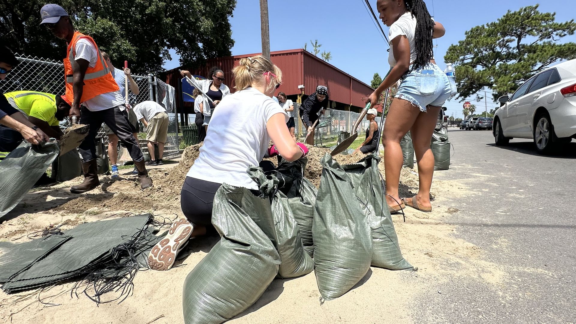
Sandbag station in Hollygrove on Monday. Photo: Carlie Kollath Wells/Axios
A tropical depression in the Gulf is expected to become Tropical Storm Bertha and bring heavy rain to south Louisiana and Texas.
Why it matters: Residents in New Orleans shifted into storm prep mode Monday, filling sandbags and clearing street drains.
The big picture: The system is expected to reach Louisiana on Wednesday and Texas on Friday, the National Hurricane Center's latest forecast shows.
- Heavy rain, coastal flooding and gusty winds are possible, the National Weather Service in Slidell says.
- Tropical storm watches are in effect for the coasts of Louisiana, Mississippi and Alabama as of Monday afternoon.
- Additional watches and warnings will likely be needed over the next day or two, NHC says.
The latest: The center of the storm was about 105 miles south of Panama City, Florida, as of 4pm Monday. See the latest track.
- The slow-moving storm is drifting northwest and is forecast to move near or along the north Gulf coast for the next several days, NHC forecasters say.
- The depression had winds of 35mph and was becoming better organized Monday. It's expected to become Tropical Storm Bertha late Monday.
- It's forecast to continue gradually strengthening Tuesday before making landfall late Wednesday in southeast Louisiana.
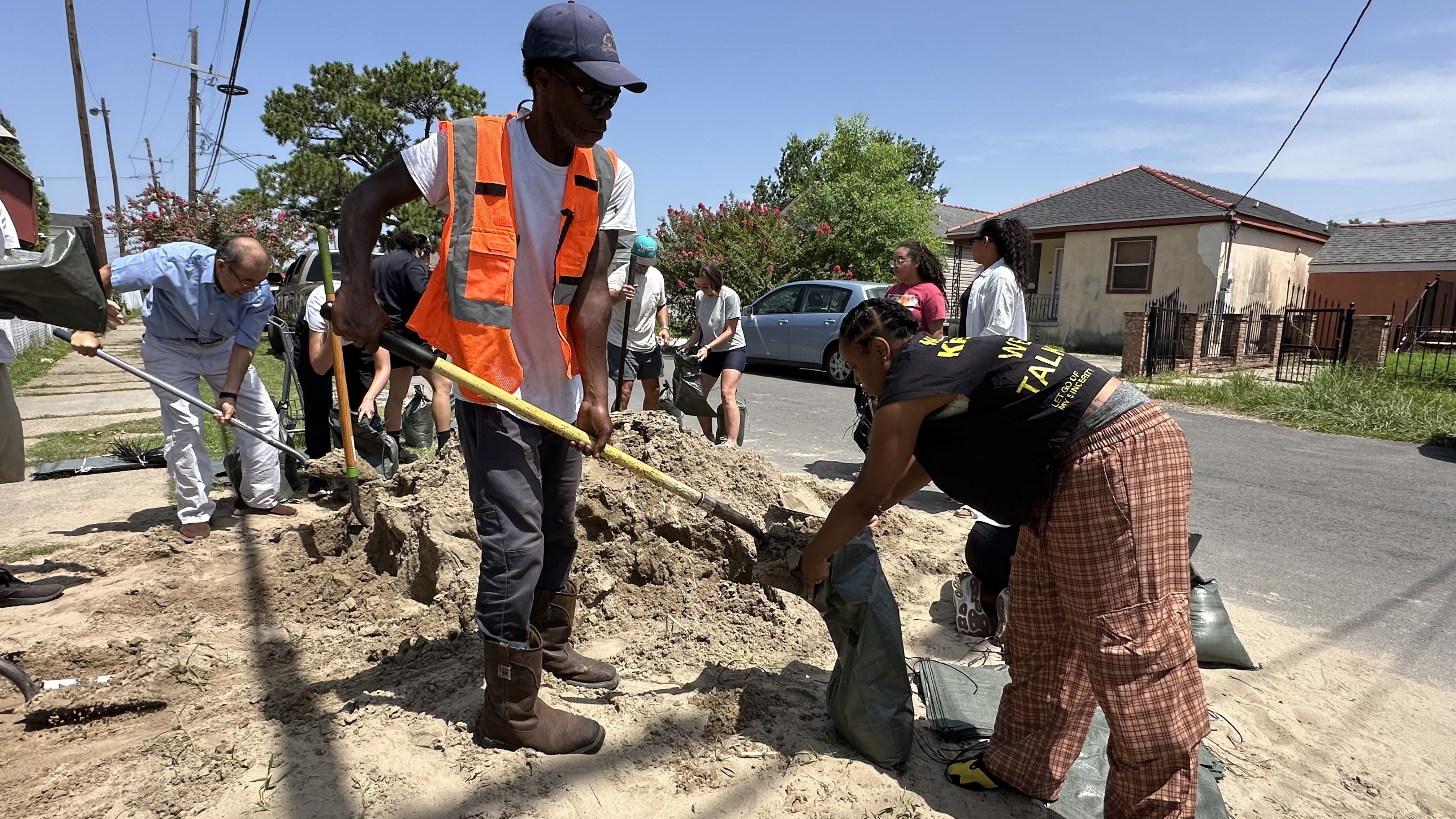
Zoom in: Sandbags were in high demand Monday at city-run distribution sites in New Orleans.
- The Hollygrove site ran out of bags in less than an hour, prompting the city to bring in additional supplies.
- Other sites also had increased demand, City Council staffers said.
- The mayor's office advised residents to clean catch basins before the rain arrives and stay off flooded roads once it does.

What they're doing: The New Orleans Sewerage and Water Board is increasing staffing levels and cleaning catch basins, executive director Randy Hayman said Monday.
- Plus, the utility is lowering canal levels to increase stormwater storage capacity. Jefferson Parish says it is doing similar preparations.
- SWBNO has come under increased scrutiny this summer after power failures during Tropical Storm Arthur and human errors during a recent thunderstorm.
- Hayman and Kaitlin Tymrak, the new general superintendent, say they've made changes to fix power issues and retrained staff to prevent similar errors.
By the numbers: The drainage systems in New Orleans and Jefferson Parish are designed to handle one inch of rain in the first hour and a half-inch every hour after that.
- If three inches fall in an hour, it would take five hours to drain, Hayman says.
- See SWBNO's current pump status.
Storm threats
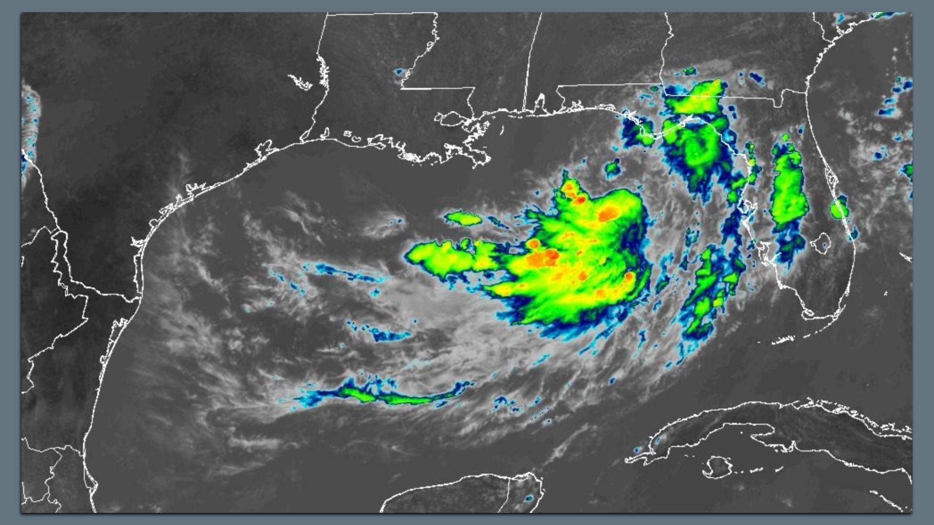
Rain: The system is expected to drop 2 to 4 inches of rain through Friday along the Gulf Coast. Some areas could get up to 8 inches.
- In New Orleans, 3 to 5 inches are likely, with areas south of Lake Pontchartrain getting more rain, NWS says.
- The rain could cause flash flooding. The heaviest rainfall — up to 16 inches — is currently expected to be over the Gulf. See the map.
Surge: A storm surge watch is in effect for part of Louisiana, meaning rising water could move inland from the coast.
- The surge from the Mississippi River to the Alabama/Florida border could be 2 to 4 feet, NHC says.
- Lake Pontchartrain and coastal areas west of the river could get 1 to 3 feet. See the map.
Rip currents: Swells from the storm are likely to cause life-threatening rip currents during peak beach season.
- They are already affecting portions of Florida's Gulf Coast and are expected to spread west this week, NHC says. See the map.
Wind: Strong wind gusts are possible in New Orleans and southeast Louisiana, NWS says.
- The winds could down trees and large limbs, which could lead to scattered power outages and some damage to porches and awnings.
Editor's note: This story was updated Monday afternoon with additional information.