Oct 8, 2025 - News
A look at the first land sales in Indianapolis

Add Axios as your preferred source to
see more of our stories on Google.
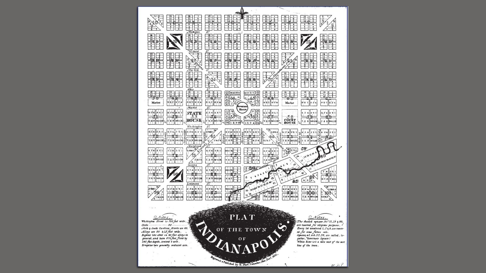
The original plat of Indianapolis created in 1821. Photo: Courtesy of the Indiana State Library.
Add Axios as your preferred source to
see more of our stories on Google.
The original plat of Indianapolis created in 1821. Photo: Courtesy of the Indiana State Library.