Cities turn to high-tech street surveys

Add Axios as your preferred source to
see more of our stories on Google.
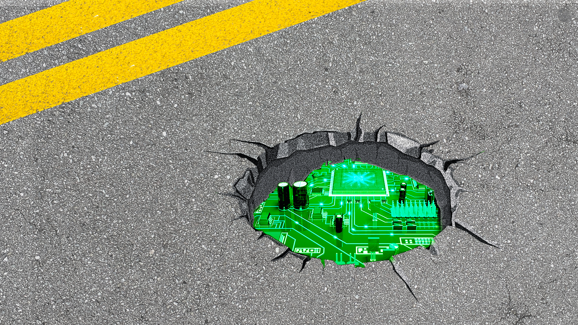
Illustration: Aïda Amer/Axios
Cracks and potholes are inevitable on Ohio streets, but cities like Columbus and Hilliard are turning to state-of-the-art technology to keep up with local road repairs.
Why it matters: It's another way communities are using high-tech means to make transportation safer and more accessible.
How it works: Contractors outfit human-driven vehicles with cameras and other tracking equipment to review streets while driving around town, similar to Google Maps cars.
- The vehicles then provide cities with a "Pavement Condition Index" rating of every street, mapping out defects like cracked pavement.
What they're saying: StreetScan, the company used by Hilliard, says its work produces "repeatable results and strengthens budgetary decisions with indisputable data."
Zoom in: Hilliard is spending around $28,000 for a review of its 139 miles of roadway, transportation asset manager Roberta Barkhimer tells Axios.
- StreetScan previously used similar technology on scooters to survey Hilliard's sidewalks and bike trails.
Meanwhile, Columbus is paying local company Roadway Asset Services over $1.4 million to review its nearly 6,400 lane miles.
- The city conducts these pavement condition surveys every three years and just began the most recent cycle, Department of Public Services spokesperson Debbie Briner tells us.
- The company is also collecting data on nearby sidewalks, ADA curb ramps and road signs.
The bottom line: Both cities concede this technology is cheaper, faster and more reliable than the old way of having city workers manually review streets.
- But there's still some room for human expertise.
- Columbus' city engineers still perform "field condition verifications," Briner says, as it's "helpful to eyeball street conditions as needed."