How Austin uses AI to address tree canopies

Add Axios as your preferred source to
see more of our stories on Google.
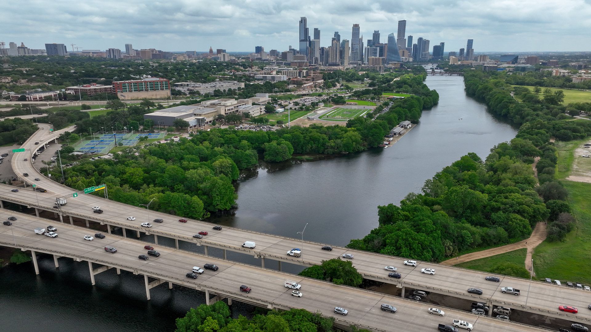
Google's overhead imagery data has helped the city better map its tree canopy. Photo: Jay Janner/The Austin American-Statesman via Getty Images
As Austin confronts hotter summers, city officials are turning to Google's AI to address shade disparities.
Why it matters: Neighborhoods with less tree cover often face higher heat exposure, and AI-driven analysis can help target where shade could have the greatest impact.
State of play: Roughly 43% of Austin's land is covered by tree canopy, per the latest estimate by Google.
- Austin leaders want to reach 50% by 2050, but the city's shade isn't distributed equally.
- More trees are found in wealthier neighborhoods — and there tend to be fewer trees where low-income people and people of color reside.
How it works: Google combines its overhead imagery data from Google Earth with weather and socioeconomic datasets.
- The city then uses a combination of Google's data, alongside professional expertise, to guide where to prioritize tree planting and other cooling investments, according to Alan Halter, an IT geospatial analyst with the city.
- "Traditional canopy modeling can take years for aerial imagery capture, then months of heavy computer processing on massive files," Halter tells Axios.
Zoom in: Google's Chris Hein says the technology allows cities to combine aerial imagery, weather information and socioeconomic data in a single tool.
- It showcases how AI can "actually meet the public sector needs," Hein tells Axios.
The big picture: Extreme heat causes more deaths in the U.S. than any other weather-related hazard, and cities are increasingly looking for ways to reduce temperatures and protect vulnerable residents.
- Researchers at UCLA found that tree canopies provide 25 times more shade at noon than buildings, making them a cheaper, more natural way to create shade and address climate change.
- "With so many trees across Austin and the ability to stand directly beneath them, their shade ends up being far more accessible than what buildings provide," Halter says.
Flashback: Austin has been tackling our increasingly hot summers for years.
- The city turns libraries and other public buildings into cooling centers in extremely warm weather.
- Along with tree planting, officials have also deployed misting canopies and applied heat-reflective coatings on pavements to combat the heat.
What's next: Google says 14 cities are using its tree canopy data, and the company has plans to expand to more than 350 cities globally.