Austin aims to tamp down wildfire risk

Add Axios as your preferred source to
see more of our stories on Google.
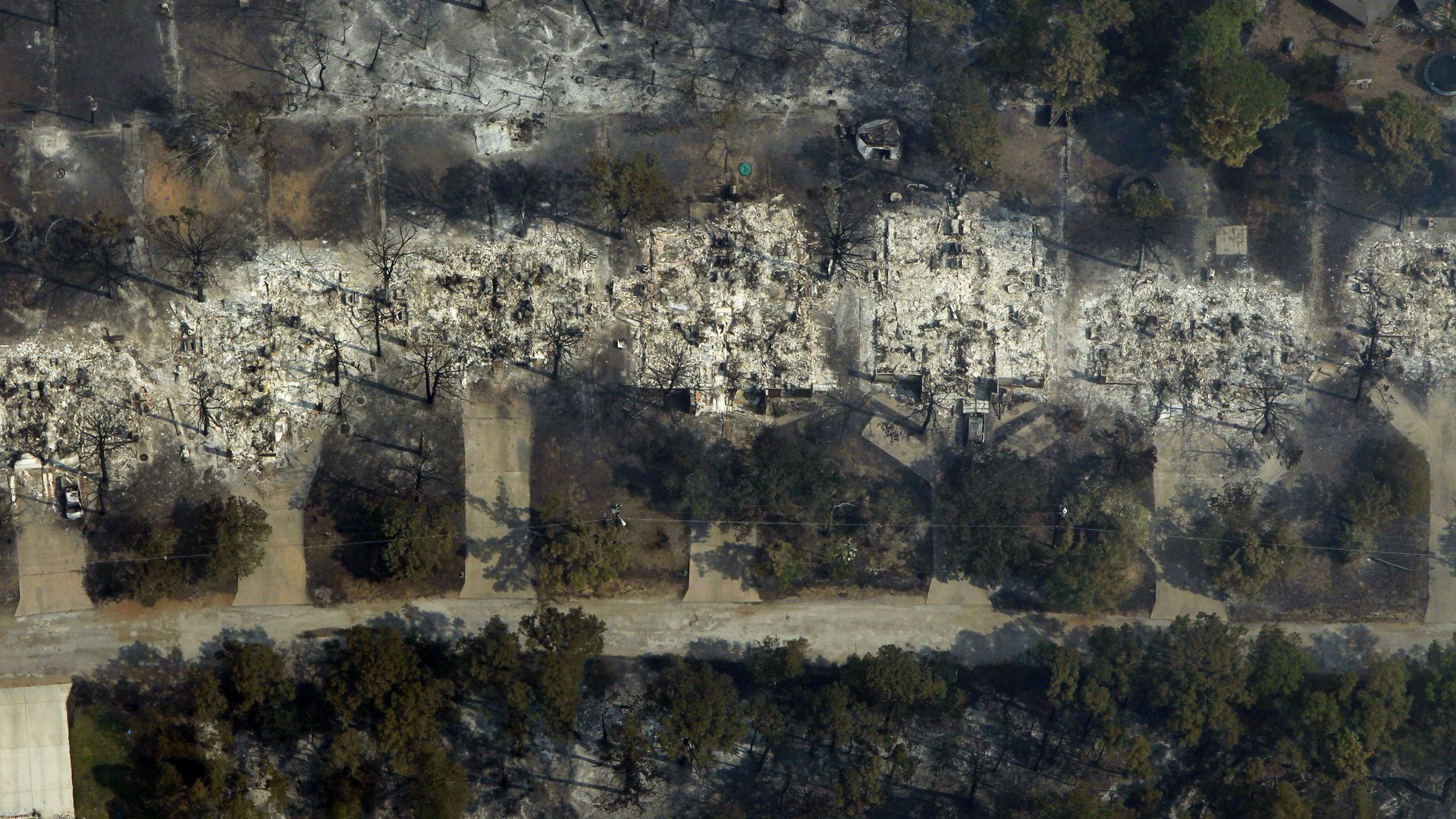
An aerial view shows burned houses after devastating wildfires in September 2011 near Bastrop. Photo: Erich Schlegel/Getty Images
As Central Texas prepares for potential wildfires, a coalition of firefighters, environmental nonprofits and local governments is trying to determine the best spots to deploy defensive measures.
Why it matters: Where brush and vegetation are cleared could be crucial to stopping the spread of future conflagrations.
Driving the news: As the Austin-Travis County Wildfire Coalition updates its Community Wildfire Protection Plan, it will host a final round of public meetings this week.
- The plan, updated every 10 years, identifies areas of wildfire risk, helps prioritize investments for mitigation funding, and provides homeowner risk-reduction practices.
State of play: Several Central Texas counties currently prohibit outdoor burning.
- Travis County commissioners lifted the county's burn ban in unincorporated areas on Tuesday.
Threat level: The number of "fire weather days" rose by two on average between 1973 and 2024 in the Austin area, per an analysis last year by climate research group Climate Central.
- The group defined a "fire weather day" as one with temperatures of at least 45-55 degrees (depending on the season), relative humidity within 5% of regional thresholds, and sustained wind speeds of 15mph or more — all happening together during at least two hourly measurements on a given day.
Yes, but: "The fire environment has improved across most of the state as recent rainfall has increased dead fuel moisture and expanded the footprint of transitional/effective green herbaceous fuel," per the latest weekly Texas Fire Potential Update from the Texas A&M Forest Service.
What they're saying: "As the city continues to grow on its outskirts, you have homes backing up on greenbelts and hills, putting them at risk of wildfire," David Wiechmann, a spokesperson for Austin Emergency Management, which is helping organize the meetings, tells Axios.
- Wiechmann adds that properties in the eastern part of the county are vulnerable to the sort of devastating prairie fires that scorched Bastrop County 15 years ago.
- "A wetter spring can create a false sense of security, but we're still in severe drought conditions in Travis County, and that means wildfire risk hasn't gone away," Lake Travis Fire Rescue spokesperson Rachel Neutzler tells Axios.
- In fact, new vegetation can dry out quickly and become fuel, she adds.
The intrigue: A 2023 report found that nearly 88% of properties in greater Austin could face higher insurance premiums or policy nonrenewals due to the risk of wildfires, high winds and other extreme weather events.
- Last year, a map adopted by the Austin City Council put 51% of Austin's habitable land in a wildfire risk zone.
Follow the money: In the 2024-25 fiscal year, Austin Fire had a budget of $650,000 for wildfire mitigation, including brushfire collection, public outreach and personal protection equipment.
- Other city agencies, such as Austin Energy and Austin Water, also have budgets for wildfire-related mitigation efforts, including millions spent by the city energy utility on trimming trees around electric lines.
If you go: The coalition will host a meeting at the Del Valle Early College High School cafeteria Wednesday from 6-8pm and again Thursday at St. Luke's on the Lake Episcopal Church from 6-8pm.
- An online survey is also available.