Before and after satellite images show scale of Libya flood destruction

Add Axios as your preferred source to
see more of our stories on Google.
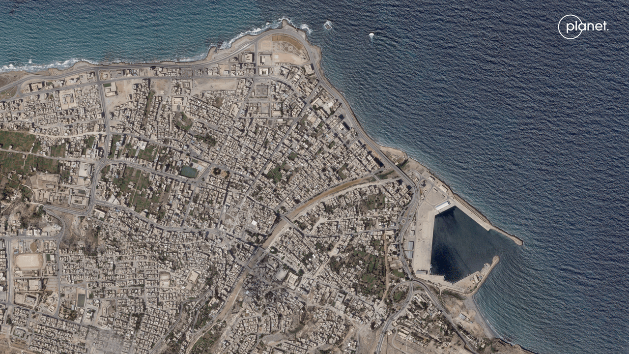
Satellite images taken before and after floodwaters in northeastern Libya burst through dams and wiped out buildings and entire neighborhoods show the sheer scale of the deadly destruction caused by Mediterranean Storm Daniel.
The big picture: East Libyan officials say at least 5,500 people were killed in the floods, though the mayor of the most affected city, Derna, warned Thursday that the death toll could reach as many as 20,000.
- Nearly a quarter of the city of Derna, home to about 90,000 people, was washed away by the floods, one east Libyan government official told Reuters on Tuesday.
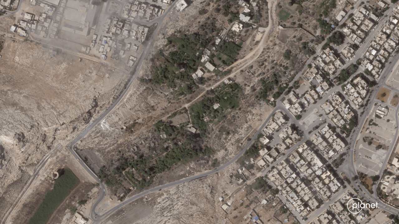
State of play: The scale of the destruction of the storm underscores the vulnerability of a country that has been through years of chaos and fighting.
- Libya is currently ruled by two rival governments — one in the east and another in the west. Fighting and political instability have come at the expense of development and investment in infrastructure in many towns and villages.
- The storm also adds to the number of recent heavy rainfall events that are occurring more frequently worldwide and becoming more severe, which scientists have linked to the burning of fossil fuels, Axios' Andrew Freedman notes.
Go deeper: Climate's looming sticker shock for insurance, utilities and more
Editor's note: This story has been updated with additional details.
