
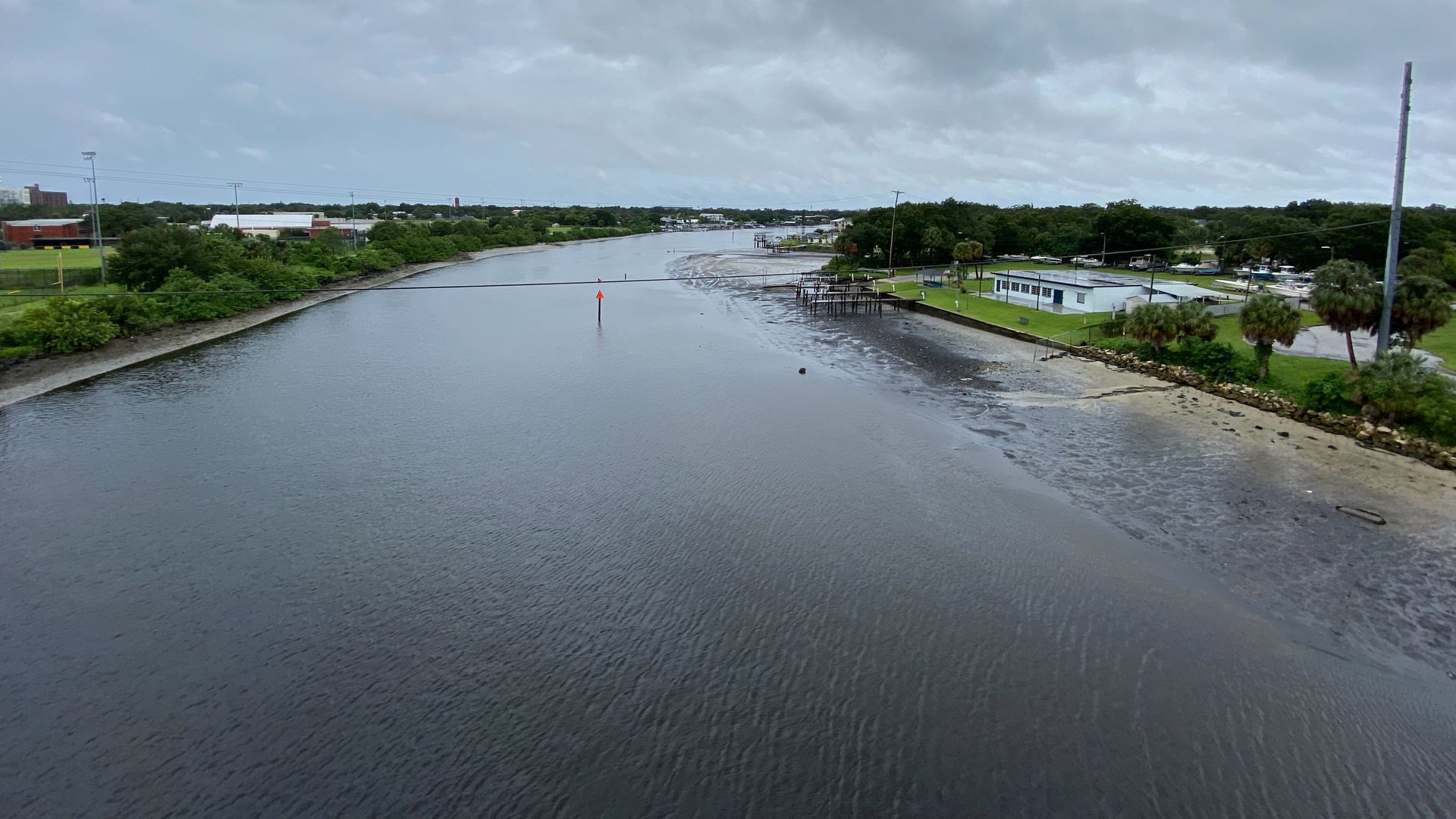
The Hillsborough River at low tide from the North Boulevard Bridge. Photo: Ben Montgomery/Axios
Much attention has focused on Hurricane Ian's storm surge flooding coastal areas of Florida, setting records in coastal areas like Fort Myers and Naples.
- But the National Hurricane Center warned in an advisory Wednesday that "widespread, life-threatening catastrophic flash and urban flooding, with major to record flooding along rivers, is expected to continue across central Florida" — damage that will last after the storm moves away.
Be Smart: Florida's topography differs when it comes to its inland waters, Tampa-based U.S. Geological Survey hydrologist Kevin Grimsley told Axios Today.
- The panhandle and Tampa Bay area's surface waterways are sloped, but Central Florida is flatter. Add to that the ground is already saturated at this point in the rainy season.
Threat level: Even when the rain ends, that doesn't mean the flooding will, Grimsley said.
What we're watching: Smaller, urban streams tend to "react and flood very quickly," but larger rivers take longer to build up and flood — and then are equally slow to recede.
- "The hurricane moves on here in the next day or two, hopefully," Grimsely said. But "flooding could continue for a week or more."
Of note: Climate change-related sea level rise is making surge-related flooding more damaging.
Go deeper: We haven't built for this climate