Winter storms lash Pacific Northwest as Southern states swelter


Add Axios as your preferred source to
see more of our stories on Google.
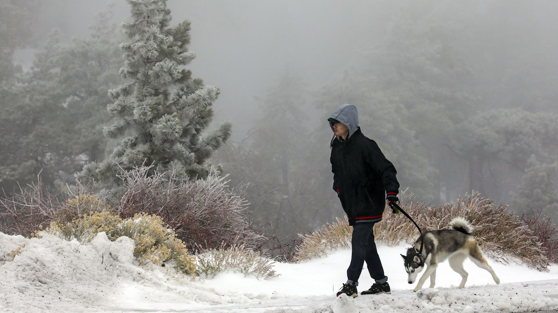
A snowy scene in Wrightwood, Calif., on Saturday. Photo: Irfan Khan/Los Angeles Times via Getty Images
Heavy snows and frigid temperatures were plaguing the West Monday, forcing several highways in Northern California and Nevada to close, with travel warnings issued in the snow-lashed Sierra Nevada.
Threat level: The National Weather Service said significant snowfall hit West Coast mountain ranges and the Intermountain West, with record cold weather in the Pacific Northwest. Meanwhile, the U.S. South was experiencing "unusually warm temperatures," with dozens of cities in the lower 48 states on track for their warmest December on record.
The big picture: As Southern states sweltered, wintry conditions were impacting cities from California's Sierra Nevada Mountains to Seattle.
- In Nevada, crews in the Reno area responded to two separate pileups Sunday, including one involving 20 cars that resulted in at least three patients being taken to the hospital, according to local authorities.
By the numbers: Frigid temperatures in the low 20s°F broke records in the Seattle and Portland metro areas Monday morning, as even colder air — with wind chills down into the minus-30s°F and 40s°F — slipped across the border with Canada and into Montana.
- In Vancouver, Canada, the low temperature on Monday morning was the coldest there since the late 1960s, as exceptional cold settled in across the province. The frigid conditions there mark yet another extreme event in a year that has featured record-shattering heat, wildfires and devastating floods.
- The UC Berkeley Central Sierra Snow Lab set a record for its snowiest December, with 193.7 inches, and it's still snowing there.
- The mountain snow totals since Dec. 21 has reached 117 inches at Northstar, Calif., and 111 inches at Homewood and Sugar Bowl, the Weather Service reports.
For the record: Nevada Gov. Steve Sisolak ordered state offices to remain closed on Monday due to the forecast of more heavy snow and wind, as police and the state Department of Transportation reported "dangerous road conditions in Carson City, Washoe County and Douglas County areas," per a statement from the governor.
- Oregon Gov. Kate Brown declared a state of emergency on Thursday in advance of the storm. The governor's order will remain in effect through Jan. 3.
Meanwhile, Texas was seeing temperatures in the 80s on Monday after a record warm weekend.
- "Houston/Hobby broke the previous record of 82 degrees and reached 83 degrees," the NWS said Sunday. "Galveston tied their daily high temperature record of 78."
- More high temperature records may fall from Oklahoma to North Carolina and points southward on Monday and Tuesday.
- Christmas Day was unusually mild across much of the Central and eastern U.S., with five states setting preliminary all-time high temperature records for the day.
What to expect: A low pressure system was expected to bring snow to portions of the Intermountain West and the Southern and Central Rockies overnight, with 12-18 inches expected to fall, according to the NWS. The highest peaks may accumulate over 2 feet of snow by Wednesday evening.
- "Meanwhile, a couple of systems will come out of the West and pass through the Eastern half of the U.S. on Tuesday and Wednesday with multiple hazards, especially a severe threat in the South on Wednesday," the agency said.
- Widespread high temperature records could be broken across the Southern Plains, Lower Mississippi Valley and eventually Tennessee Valley over the next couple of days, and the Southern and Central Plains could face the threat of fire weather due to warm and dry conditions beneath a strengthening low pressure system.
Editor's note: This article has been updated with the latest snowfall amounts and temperature records.
