Polar vortex causes brutal cold snap across Midwest, Ohio Valley

Add Axios as your preferred source to
see more of our stories on Google.
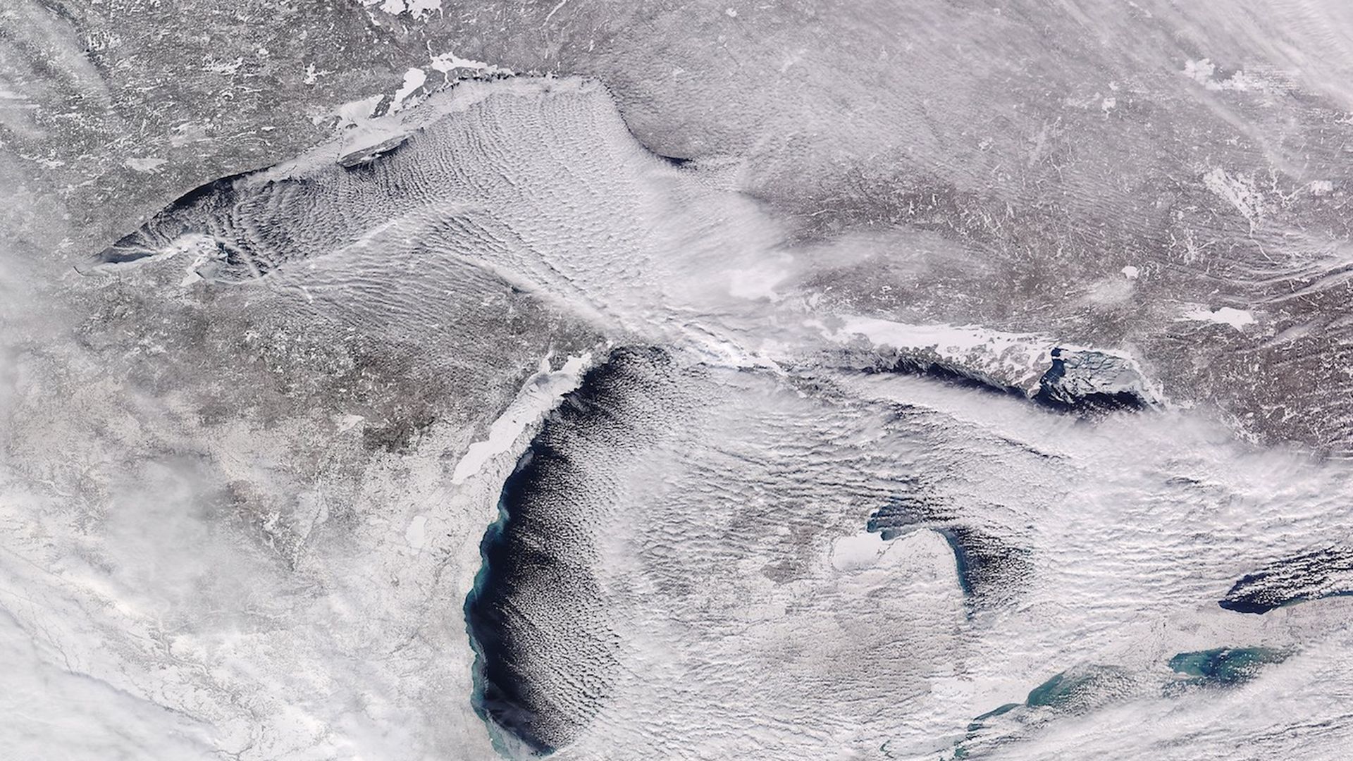
Satellite view of a frozen Great Lakes region on Jan. 28, 2019. Image: UW-Madison/CIMSS.
The coldest air in decades is infiltrating the Upper Midwest and at least 88 million people will see temperatures dip below 0°F by the end of this week.
Driving the news: Wind chills in some spots, including much of Minnesota, Wisconsin, Iowa and parts of Illinois, will plummet into dangerous territory of minus 50°F to minus 65°F at the peak of the outbreak on Wednesday morning.
The big picture: The frigid blast, whose potential has been advertised via computer models for more than a week, is courtesy of a lobe of the polar vortex that has broken away from the Arctic and spun south, toward the U.S. border with Canada.
- It's brought a truly Arctic airmass with it, with the potential for all-time cold temperature records to be set both at the surface and a few thousand feet off the ground. In addition, numerous daily records are expected to fall.
- Temperatures across a broad region of the country will be between 25 and 50°F below average for this time of year.
By the numbers: In Minneapolis, this will be the coldest weather since at least 1996. In Chicago, no one under the age of 25 has experienced such cold weather, as the last such outbreak was from Jan. 18-20 1994.
- In Minneapolis, Milwaukee, Madison, Des Moines, Green Bay, Chicago, Indianapolis, Detroit and Chicago, the cold will peak between Tuesday and Thursday, but it will be extremely cold throughout the week.
- The National Weather Service forecast office in the Twin Cities is forecasting a record low of about minus 30°F, with a wind chill of between minus 50 and minus 65°F, on Wednesday morning.
- Such wind chill temperatures could cause frostbite of any exposed skin within minutes. The NWS is forecasting 59 straight hours in the Twin Cities with a wind chill at or below minus 20°F.
- Already, International Falls, Minn., known as the nation's "icebox," saw its temperature plummet to minus-46 on Sunday, which tied for the fifth-lowest temperature it has ever recorded.
A storm associated with the push of Arctic air deposited a fresh snowpack across the Great Lakes region on Monday, and this increases the chances of record cold readings since snow-covered ground is more efficient at reflecting solar radiation back into the atmosphere.
- If Chicago’s high temperature remains below minus 11°F on Wednesday, it would be the city's coldest afternoon high temperature on record. In fact, the city could see temperatures remain below 0°F for at least 60 or more hours straight, a rarity even for such a cold location.
- About 200 million people in the U.S. will see temperatures dip below freezing during the coming week, based on model projections.
The background: The stratospheric polar vortex — which is a whirl of low pressure at upper levels of the atmosphere over the pole — was knocked askew in early January, increasing the odds of cold outbreaks in the U.S. and Europe.
- When the polar vortex is strong, it tends to keep the coldest air bottled up in the far north.
- However, when it weakens or wobbles, it can send frigid air spilling south, as if Mother Nature left the freezer door open.
The climate context: The globe as a whole is still much warmer than normal, and scientists say the cold snap in parts of the U.S. in no way invalidates the overwhelming scientific evidence showing global average temperatures are increasing due to the burning of fossil fuels for energy.
In fact, studies published in the past several years show that polar vortex disruptions may be more likely as the Earth warms and sea ice in the Arctic melts, though this is an active area of research.
"I have argued less sea ice, especially in the Barents-Kara Seas, favors a ridge of high pressure across northwest Eurasia," Judah Cohen, director of seasonal forecasting at AER, a Verisk company, told Axios in an email. A chain of events, Cohen says, then connects the effects of newly open ocean with events high in the atmosphere.
Go deeper:
