
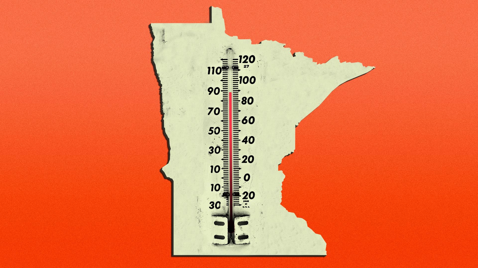
Illustration: Brendan Lynch/Axios
The pleasant start to summer is officially over.
What's happening: A heat wave, which has broken records out west, is arriving in the Twin Cities today.
- The National Weather Service is forecasting a high of 99 degrees and a heat index of 104. An excessive heat warning is in effect until 8 pm tonight.
- It will be windy, if that is any consolation.
Of note: If we do reach 99 degrees, that would break the June 14 record of 98, set in 1987, according to the Midwest Regional Climate Center.
Minneapolis Public Schools will close 14 schools that don't have air conditioning and will move those students to e-learning (the district is still in session because it's making up time from a teacher strike).
What's ahead: We will get back into the 80s for the rest of the week, but the 90s return this weekend.
Threat level: A cool and rainy spring helped dig us out of last summer's drought, but aside from yesterday it's been relatively dry the last couple weeks.
- As of May 31, the National Weather Service was not predicting a drought for Minnesota, but an updated drought forecast comes out Thursday.

Get more local stories in your inbox with Axios Twin Cities.
More Twin Cities stories
No stories could be found

Get a free daily digest of the most important news in your backyard with Axios Twin Cities.