Flood risks rise on Embarcadero

Add Axios as your preferred source to
see more of our stories on Google.
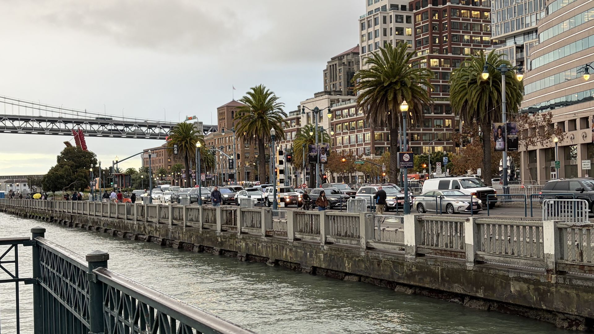
It may look harmless, but a few more inches could flood commuters' routes. Photo: Jasmyne Eastmond/Axios
Unusually high tides are overflowing onto SF's Embarcadero, raising concerns about more severe flooding during winter storms.
Why it matters: Higher sea levels combined with historic winter storms could flood waterfront roads, damage infrastructure, and disrupt low-lying neighborhoods, KQED reports.
Catch up quick: On Oct. 25, high tides flooded the Embarcadero, cutting off parts of Pier 14 and closing sections of the sidewalk and bike lane despite calm weather.
- SF's average sea level reached 12.4 inches above NOAA predictions in October, the largest monthly difference on record.
- More extreme tides are expected around Thanksgiving and Christmas.
How it works: Ocean and atmospheric conditions are raising coastal water levels even before winter storms arrive.
- El Niño-driven Kelvin waves are pulses of warm water that travel east across the Pacific before moving north along the West Coast, capable of raising coastal sea levels by 6 to 12 inches, per NOAA.
- This added rise can worsen flooding when combined with king tides, marine heat waves, and storm surges, according to KQED.
Flashback: Past El Niño and winter storms show how quickly conditions can overwhelm the waterfront.
- In February 1998, high winds, heavy rain, and elevated sea levels flooded Ocean Beach, the Embarcadero, and Highway 101 north of the Golden Gate Bridge.
- In the winter of 2022-23, king tides and storm surges pushed water levels to over 7 feet.
Threat level: The Embarcadero, particularly near the Ferry Building and Pier 14, is among the city's most vulnerable waterfront areas and includes "critical" infrastructure like BART and Muni, Eric Young, a Port of San Francisco spokesperson, told Axios.
- Other exposed locations include Fisherman's Wharf, Marina Green, Crissy Field, and Islais Creek near Dogpatch. Heavy rainfall could also overwhelm storm drains and flood inland neighborhoods.
- "Model simulations suggest that, without action, 100 to 500 structures and assets could be vulnerable to flooding by 2050," Young said. "By 2140, potential damages could reach $23 billion."
What's next: The Port of San Francisco and U.S. Army Corps of Engineers have developed a waterfront flood protection plan expected to take roughly three decades to implement.
- Two resilience efforts are advancing along the Embarcadero: the Downtown Coastal Resilience Project (DCRP) and the South Beach Coastal Resilience Project (SBCRP).
- The projects will reinforce vulnerable seawalls, raise the shoreline, and improve flood and earthquake resilience. Downtown construction is expected to begin in 2029, according to Young.
The bottom line: Temporary protections and individual preparedness will be key to weathering this winter's high tides and storms, Young said.
- The Port will install temporary flood barriers at four waterfront locations to reduce flood risk while preserving access.
- Young recommends that waterfront residents and businesses keep sandbags handy, move vehicles and valuables out of low-lying areas, secure outdoor equipment, and monitor weather alerts for disruptions.