I-77 toll lanes could threaten Charlotte's scarce parkland, streams

Add Axios as your preferred source to
see more of our stories on Google.
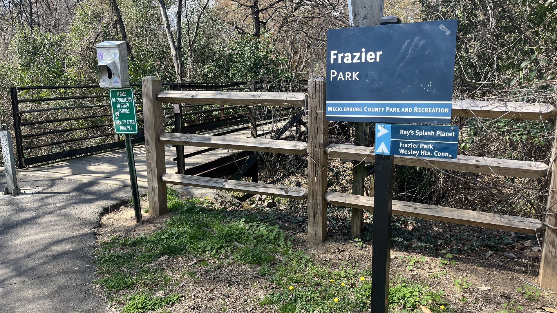
Photo: Alexandria Sands/Axios
Charlotte could lose significant parkland if the I-77 toll lanes project moves forward as proposed.
Why it matters: The implications go far beyond intruding on some locals' backyards. No matter how much NCDOT redesigns the widening, the highway construction will — to some degree — pollute the air, dirty water and cost the city its scarce greenery for pavement.
- Charlotte already seriously lacks green space, and ranks 90th in park access among 100 U.S. cities.
Catch up quick: Intended to manage congestion, NCDOT's $3.2 billion I-77 toll lanes will stretch 11 miles from the Uptown area to the South Carolina line, with construction beginning in the early 2030s.
- In an effort to ease community backlash, NCDOT has proposed a design with elevated lanes built above the existing highway through the Uptown area, rather than an at-grade widening.
Zoom in: Preliminary maps indicate the designs could affect at least 11 park properties. Mecklenburg County staff broke down the potential impacts during the commissioners' Environmental Stewardship Committee meeting on Tuesday.
- Both plans would entirely wipe out Wilmore Park, a small neighborhood park with a playground next to I-77.
- At Frazier Park, the original maps take out two tennis courts, two basketball courts and the dog park. However, under NCDOT's newest design, elevated lanes would tower 40 to 60 feet above those amenities. South of Fourth Street, both plans would encroach on field lighting and the loop trail, cutting off some circulation.
- The proposed designs would also impact the northernmost ball fields at Revolution Park, require part of Irwin Creek Greenway to move, reduce access to Abbott Park, and potentially alter play at the historic Charles Sifford Golf Course.
- The water quality of several streams — including Irwin Creek, Kings Branch, Sugar Creek and McCullough Branch tributary — could suffer as they are in the immediate area of the project.
The other side: For most of these spaces, NCDOT will need to document that it studied alternatives to destroying the parkland.
- The U.S. Department of Transportation Act prohibits NCDOT from using publicly owned parks, wildlife or historic sites "unless there is no feasible and prudent alternative."
- NCDOT says the current maps are "early-stage conceptual design drawings" and likely show a broader footprint than what will ultimately be constructed.
What they're saying: Several Mecklenburg County commissioners said they were never warned about the threats to the parks over the years as the lanes were planned and voted on.
- Environmental committee members said that the only people who benefit from the tolls are car drivers who can afford to pay. The commissioners are worried about the children, elderly and other neighbors who "live and play and breathe" around the highway.
- The Charlotte Regional Transportation Planning Organization's attorney says it's too late for the board to reverse a vote to support the project.
What's next: In response to the mounting opposition, NCDOT says it has delayed its next step — issuing a request for proposals — until June to make more time to listen to concerns and "minimize project impacts."
- "I'm really sick of the word minimize and mitigate," committee chair Elaine Powell said. "It's really like, 'We're going to screw it all up, but we're going to say that we're mitigating it or minimizing it.'"