Jun 15, 2026 - News
Flooding closes over 100 crossings in Austin

Add Axios as your preferred source to
see more of our stories on Google.
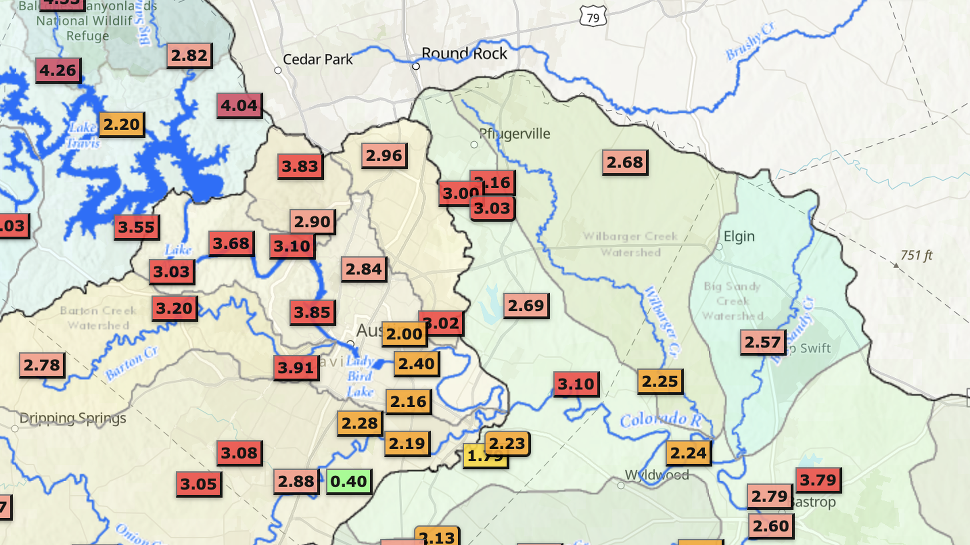
Rainfall totals in the Austin area between 9:45pm Sunday and 9:45am Monday. Image: Courtesy of Lower Colorado River Authority