How Austin uses AI to detect wildfires

Add Axios as your preferred source to
see more of our stories on Google.
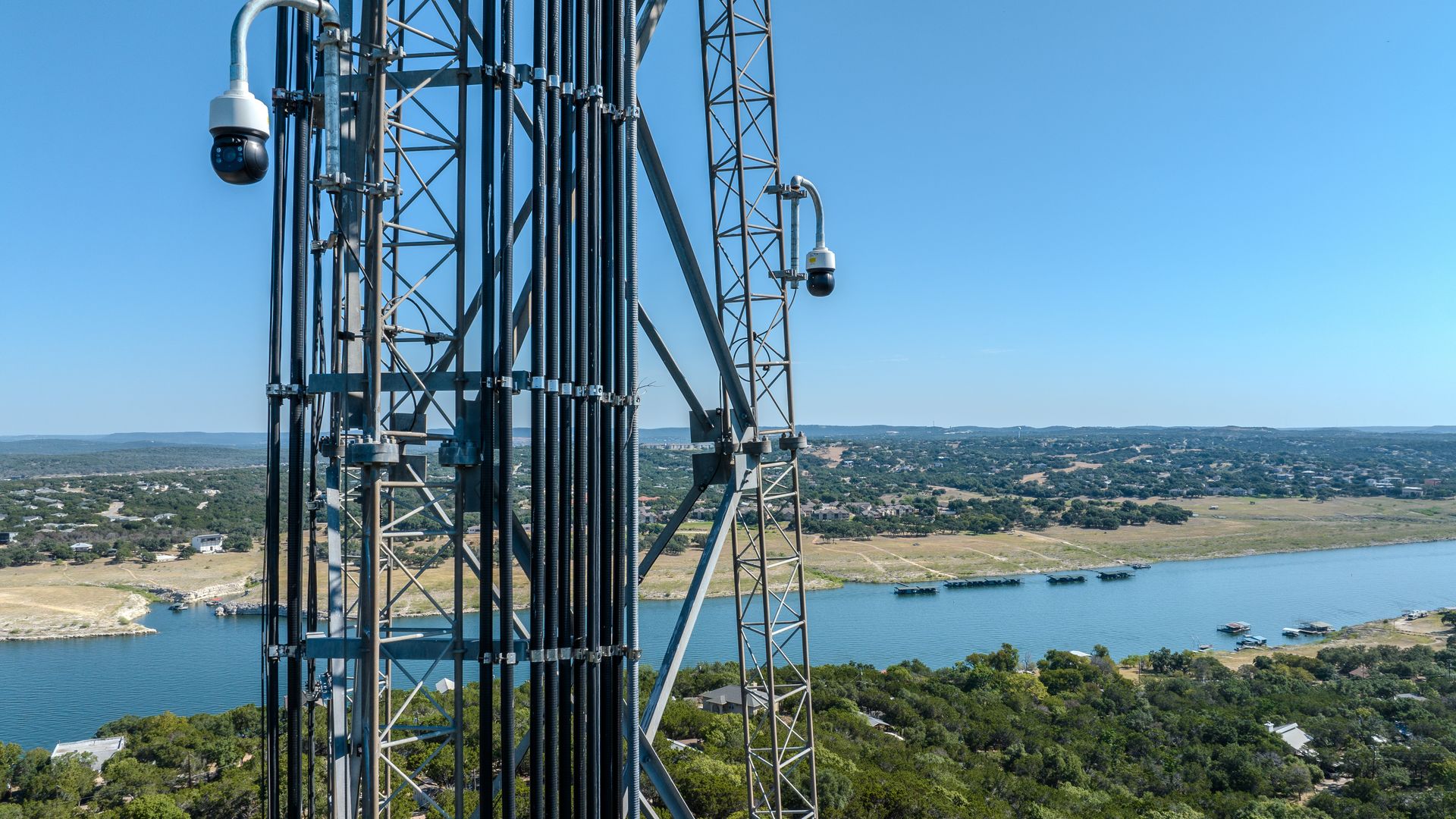
Pano AI's 360-degree cameras are stationed on cellphone towers to view the surrounding area. Photo: Courtesy of Austin Energy/Pano AI
Austin Energy and Pano AI have teamed up to change the way wildfires are detected in Central Texas.
Why it matters: A recent analysis by Core Logic found that Austin ranks fifth in the nation for homes at risk of wildfire damage. Plus, warmer and drier weather due to climate change continues to put Central Texas at a higher risk of fires.
Driving the news: Austin Energy officials have deployed a new AI-driven wildfire detection system to enhance their response capabilities across a 437-square-mile service territory — a system they say will rapidly detect a fire and help emergency responders quickly take action.
How it works: California-based startup Pano AI stationed 13 of its 360-degree cameras on cell towers throughout Central Texas. The system spans most of Travis County and parts of Hays, Bastrop, Williamson and Burnet counties.
- The cameras continuously scan the area and use artificial intelligence to spot smoke.
- Once a wildfire is detected, the system automatically alerts authorities within a 15-mile radius and provides precise location data and real-time imagery to help them contain the threat.
What they're saying: "This is an important step for the safety of our community and the reliability of our electric system," Chris Vetromile, Austin Energy's wildfire program manager, said in a statement. "With climate change driving hotter, drier summers, this AI-powered detection system allows us to respond faster and more effectively to wildfires, safeguarding our community and supporting more reliable service."
- Pano AI has deployed the technology in a handful of states, including Colorado, Oregon and California.
Between the lines: An analysis by Climate Central found an average of 16 fire weather days — a volatile mix of low humidity, strong winds and high temperatures — in Austin in 2022, up 2.4 days annually on average since 1973.
- Travis County is under a burn ban because of an elevated risk for wildfires in the region.
- Much of West Austin and western Travis County is at moderate to very high risk of wildfires, per Texas A&M Forest Service.
How to help: You can minimize your home's wildfire risk by keeping the perimeter of your property free of debris, maintaining vegetation around your home, sweeping leaf litter off the patio and moving wicker furniture or straw mats inside during high-risk days.