Upgraded Hurricane Ernesto knocks out power to more than 700,000 in Puerto Rico

Add Axios as your preferred source to
see more of our stories on Google.
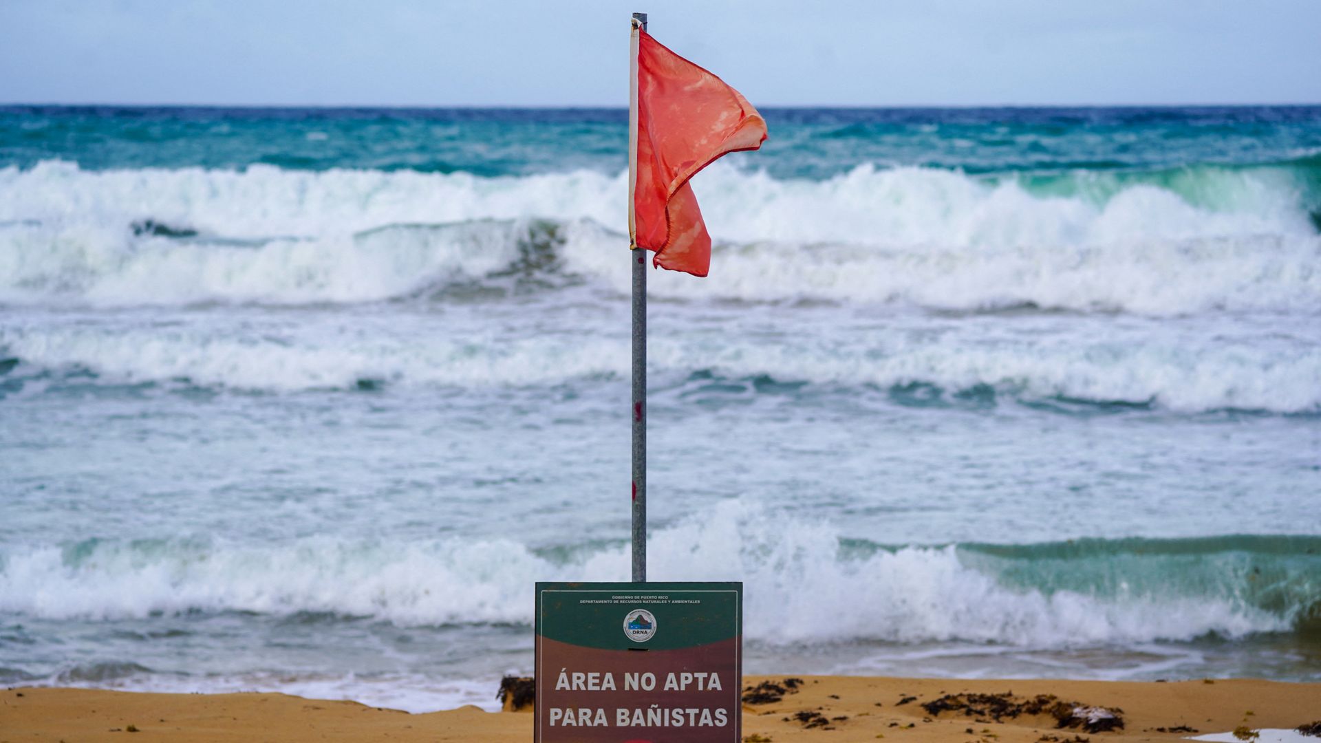
A "Danger, No Swimming" sign under a red flag in Luquillo, Puerto Rico, on Tuesday. Photo: Jaydee Lee Serrano/AFP via Getty Images
Hurricane Ernesto, which was upgraded from a tropical storm at 11am ET on Wednesday, is beginning to pull away well to the north of Puerto Rico.
Threat level: Despite not making a direct hit on the island, flooding rains and high winds knocked out power to more than 700,000 customers on the island, illustrating the continued fragility of the grid there.
- The storm is dumping torrential rains and producing winds that have gusted as high as hurricane force, or 74 mph, in Puerto Rico on Wednesday morning.
- Flash flood warnings are in effect for much of the island, including San Juan, with the risk of mudslides and landslides given the high terrain.
- Rainfall amounts of up to 10 inches are forecast.
Between the lines: Puerto Rico is vulnerable to tropical storms and hurricanes, with an electrical grid that has not yet been fully hardened since 2017's devastating Hurricane Maria.
- Hurricane Fiona in 2022, a Category 1 storm, demonstrated the ability of even relatively modest hurricanes to cause lengthy, island-wide blackouts.
- The Department of Energy, along with the Department of Housing and Urban Development and other parts of the federal and local governments, have devoted more than $1 billion to rebuilding the island's electrical infrastructure and make it more resilient.
Zoom in: Ernesto is intensifying as it moves north-northwestward, and it is forecast to grow in size and intensity in the coming days.
- By the time it nears Bermuda on Friday into Saturday, it could be a major hurricane, of Category 3 intensity or greater, the National Hurricane Center stated.
- However, heavy rains may continue throughout the day in Puerto Rico, even well away from its center as outer bands of thunderstorms associated with the storm rotate around it.
- Climate change is causing such storms to produce heavier rainfall and undergo more frequent and significant bouts of rapid intensification, among other changes.
What's next: In keeping with these trends, Ernesto is poised to rapidly intensify over unusually warm waters, before weakening as it moves near or over Bermuda.
The intrigue: The storm is likely to produce waves of up to 80 feet tall closest to the storm.
- These high waves will spread to the west, albeit not as tall, causing beach erosion, dangerous rip currents and coastal flooding in parts of the Mid-Atlantic and Northeast.
- Recent computer model runs have showed the storm may track into the Canadian Maritimes, rather than recurving out into the North Atlantic Ocean.
