In photos: Sierra Nevada hit with ferocious blizzard


Add Axios as your preferred source to
see more of our stories on Google.
A blizzard on March 2 hits Mammoth Lakes, California. A blizzard warnings remained in effect for the popular tourist destination a day later. Photo: David Swanson/AFP via Getty Images
A blizzard warning was in effect until midnight Sunday for parts of the Sierra, as the massive winter storm disrupts travel in portions of California and Nevada.
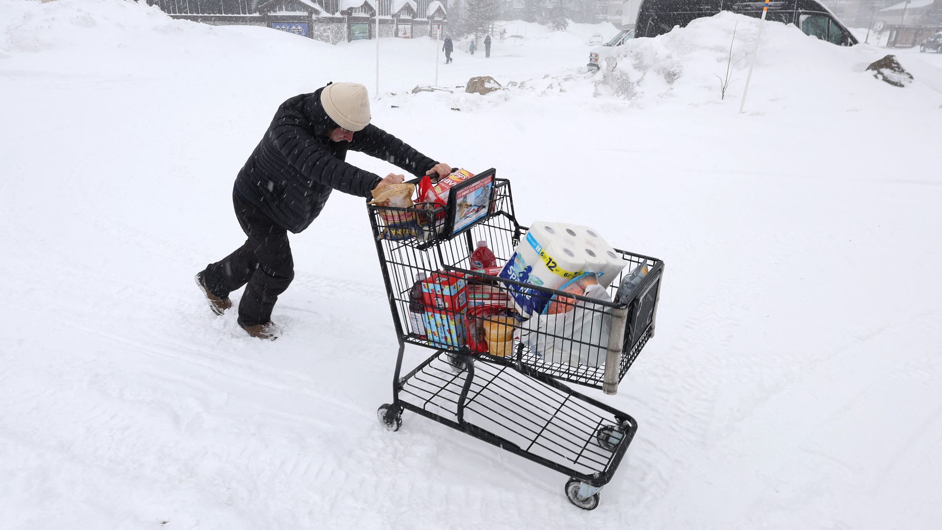
The big picture: The "potentially life-threatening" blizzard which began slamming parts of the Sierra Nevada on Thursday was gradually waning on Sunday evening ahead of another storm expected on Monday night.
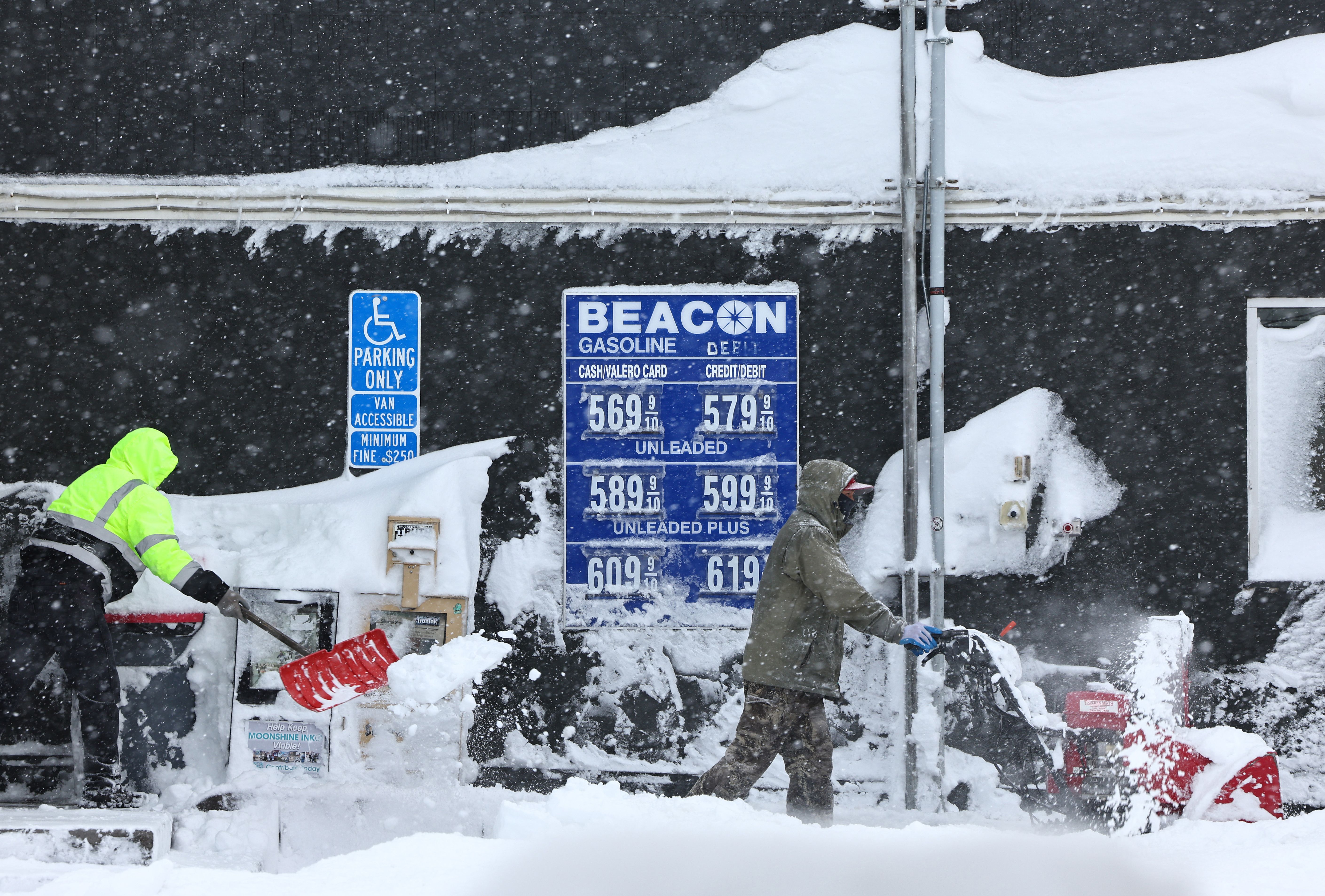
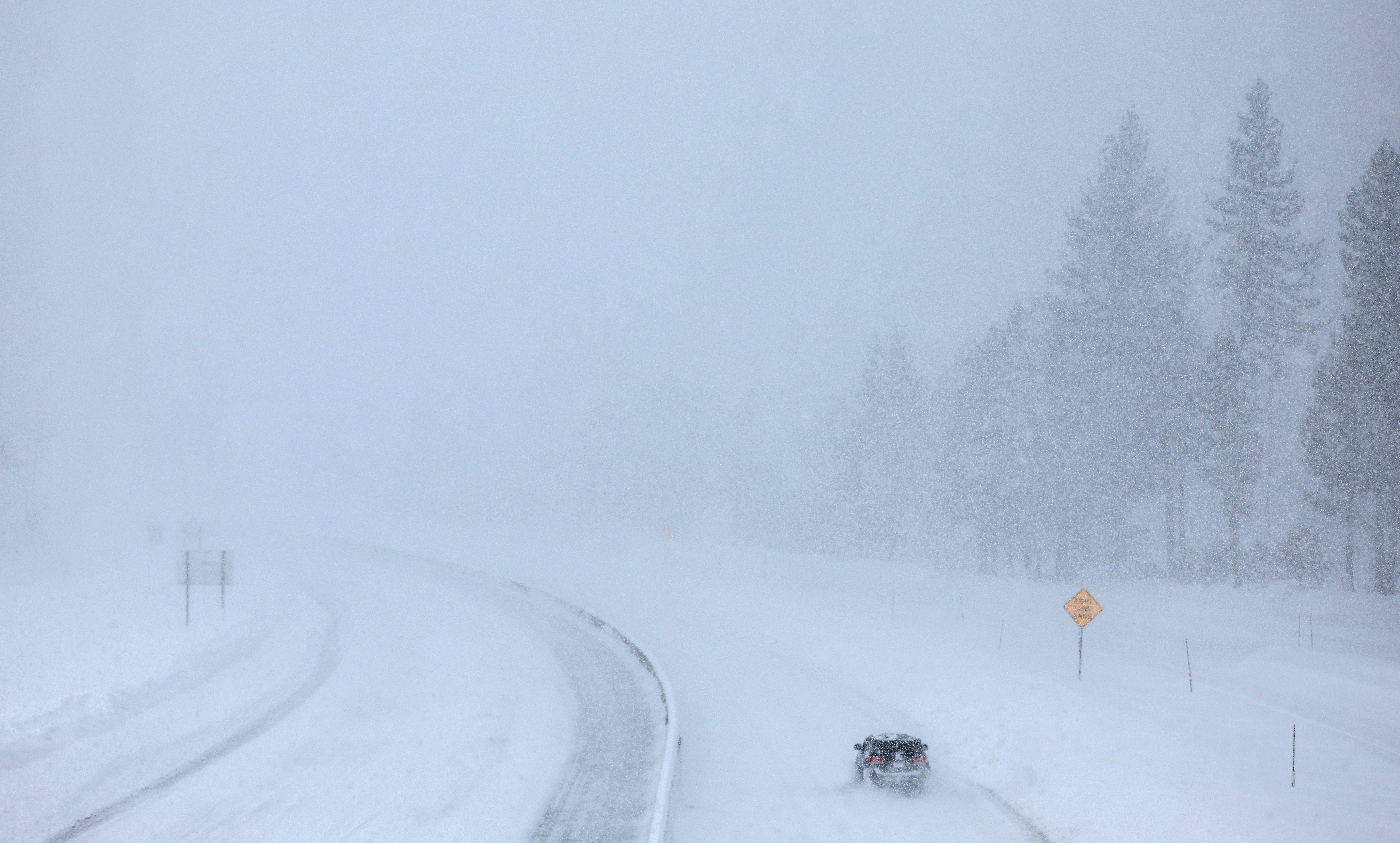
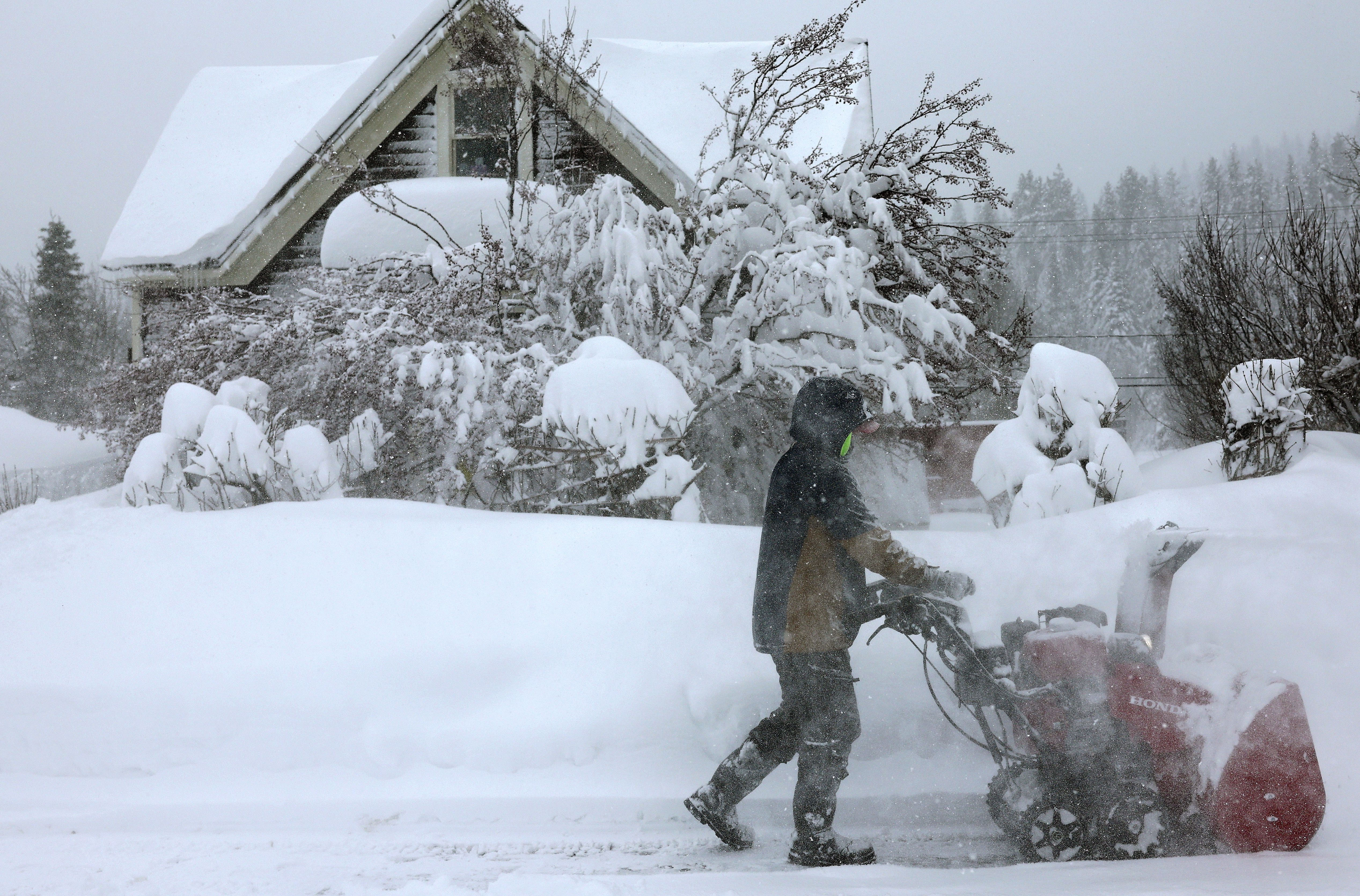
State of play: This storm has brought relentless hurricane-force winds to the Sierra, knocking out power, creating whiteout conditions and shutting down Interstate 80 for well over 24 hours.
- The blizzard warning in the area was no longer in effect Sunday evening and the California Highway Patrol noted in a post to X that "it's still heavily snowing over Donner Summit with high winds at times" and there was "no estimated time of reopening the freeway."
- Many peaks saw staggering wind gusts. At the Palisades Tahoe ski resort, gusts were reported as high as 190 mph, with numerous gusts well above 100 mph at other locations.
Between the lines: The blizzard's ferocity and prolific snow totals can be traced to a slow-moving area of low pressure off the northern coast of California, which tapped into moisture and jet stream winds blowing up and over the Sierra.
Go deeper: Sierra Nevada braces for up to 12 feet of snow from "potent" California blizzard
Editor's note: This a breaking news story. Please check back for updates.
