Outdoors adventurers get a helping hand from space

Add Axios as your preferred source to
see more of our stories on Google.
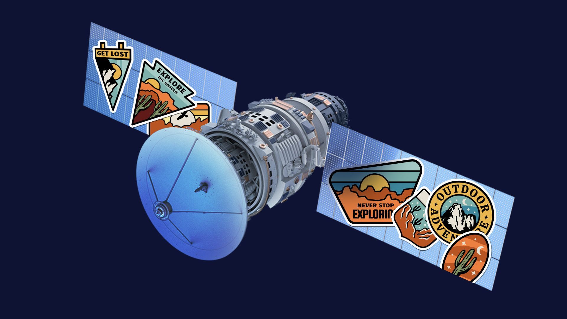
Illustration: Natalie Peeples/Axios
Popular outdoor navigation company onX has added frequently updated, high-resolution satellite imagery to its apps to help adventurers, hunters, off-roaders and so on better plan their trips.
Why it matters: It's the latest example of a space-based technology originally developed for military use — in this case, highly accurate and current satellite imagery — turning into a consumer product, like GPS before it.
Details: Through a partnership with satellite imaging firm Planet, users of onX's apps — onX Hunt, onX Offroad and onX Backcountry — can access easy-to-read maps with satellite imagery updated every two weeks.
- Such imagery can give adventurers a better advance look at the real-world conditions they might encounter on their trip.
- OnX is also offering up historical satellite imagery for a given location, enabling users to see useful patterns — for instance, when does a certain mountain pass usually open up in the spring?
How it works: Hikers might use the images to see if a particular hike will get snowy at a certain altitude (better pack the crampons!), while off-roaders can check the mud situation before rolling out (remember those chains!).
- And in an ever-changing climate, such imagery can be especially useful when planning trips to areas recently damaged by wildfires or other natural disasters.
What they're saying: "We have a lot of duck hunters, a lot of individuals who want to understand when the ice is off. And the inverse, we have a lot of skiers who are like, 'is my pass covered yet? Because I want to get out there and start hammering that as soon as I possibly can,'" Brian Riordan, onX's senior director of geospatial, tells Axios.
Yes, but: Access to the new feature, called "Recent Imagery," is only available to onX users with an "Elite" subscription, costing about $100/year.
- Plus, there's some satellite imagery freely available out there — but what's now accessible via onX is higher resolution, Riordan said.
The big picture: Satellite imagery is emerging as a potentially lucrative consumer business, Axios Space's Miriam Kramer reports.
- The latest satellite systems and technology "are giving researchers, governments and companies more insight into what's happening on the planet at any given time — and giving the space industry a more robust business line," Miriam wrote last December.
What's next: Riordan predicts that an ongoing accuracy war between satellite and aerial imagery providers will result in even better consumer-grade imagery.
- "At some point you are going to be at one centimeter-level accuracy at a commercial level, within the next five to 10 years. That's going to be absolutely just mind-blowing."
The bottom line: Between frequently updated satellite imagery, space-based emergency communications and good old-fashioned GPS navigation, consumer-grade satellite applications are making outdoors adventuring safer than ever.
