The era of bespoke satellite data is coming

Add Axios as your preferred source to
see more of our stories on Google.
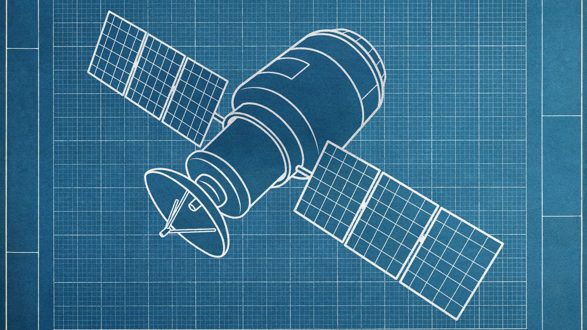
Illustration: Natalie Peeples/Axios
Space companies are breaking into more niche markets as tools on Earth and in orbit become more sophisticated and less expensive than ever before.
Why it matters: Earth-gazing satellites and sensors on the ground connected to satellite systems are giving researchers, governments and companies more insight into what's happening on the planet at any given time — and giving the space industry a more robust business line.
- "The potential for satellite data to be used by so many industries is still quite limitless," Krystal Azelton of the Secure World Foundation tells Axios.
What's happening: Satellite systems are being pushed to new heights through powerful technology on the ground and through spacecraft in orbit that are able to gather or transmit specific data for customers about various targets from forests and lakes to shipping lanes.
- The nonprofit Rainforest Connection is able to use high-powered sensors on Earth to listen for chainsaws that indicate potentially illegal logging. Those sensors relay that information to Swarm satellites — low-cost satellites that provide internet connectivity to devices around the world — in orbit, allowing customers like local governments to take action nearly in real time.
- Virridy uses sensors and Swarm satellites to send data about water use, quality and other metrics to aid in environmental management. Other companies make use of sensors to keep a lookout for early signs of wildfires, to monitor shipping and for other work.
- Multiple organizations and companies are aiming to build satellites to track methane being emitted on Earth, showing that highly customized satellites could help authorities track major greenhouse gas emissions.
- Another IoT-focused satellite company, Sateliot, is partnering with the company Streamline to track cattle disease and theft using satellite-connected sensors.
The intrigue: Not all of the companies focused on niche markets will survive, experts say.
- But the fact that they're able to find a toehold in new markets is promising for the space industry at large.
- It signals an expansion of the industry brought about by diminishing launch costs, less expensive sensors and powerful tools to analyze large amounts of data.
The big picture: Having more data from a variety of different sources could also lead to a more holistic understanding of what's happening on Earth at any given time.
- The promise of Earth-focused satellites and sensors has been that their data could allow scientists, companies and governments to make decisions with more robust data and analysis behind them.
- Instead of just taking photos of Earth, many companies are now trying to provide specific analysis, streamlining decision-making for governments, companies and other customers.
- Maps one day might give "information back to us, suggesting things and telling us where we might want to go, might want to do," Space Capital's Chad Anderson said.
What to watch: Space companies focused on Earth imaging have largely been selling their photos to governments and some other customers, but experts are starting to see them shift from providing imagery to offering more robust data analytics.
- The National Geospatial-Intelligence Agency in 2020 published a strategy detailing an interest in moving from imagery to applications, in part, to maintain a tactical edge against potential adversaries.
- The government could "be at the cutting edge of buying these analytic products that's going to demonstrate their usefulness," BryceTech's Carissa Christensen said.
- "Satellite operators are going to learn more about what customers want, and that's going to spill over into commercial applications."
