Exclusive: Near Space Labs launches new generation of imaging tools

Add Axios as your preferred source to
see more of our stories on Google.
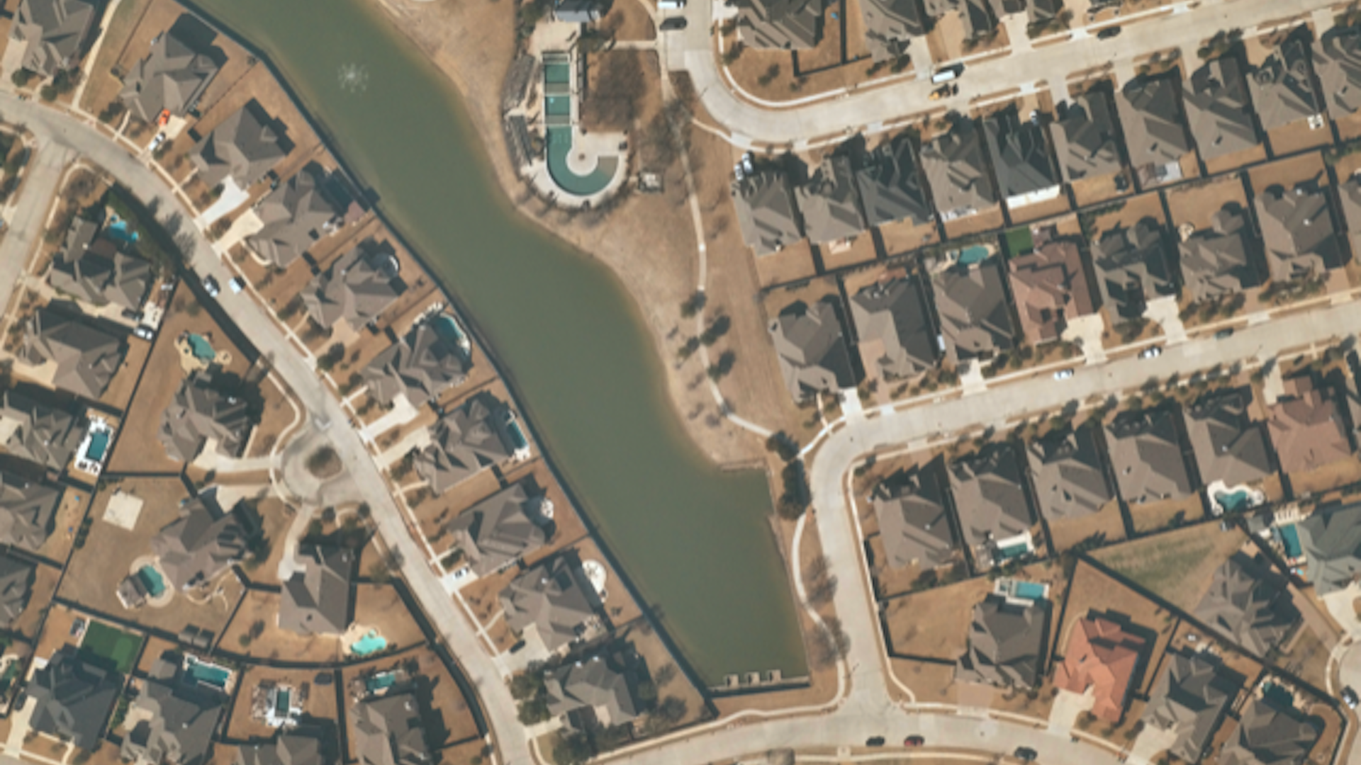
Neighborhood surrounding a lake. Photo: Near Space Labs
Near Space Labs has launched its newest fleet of robots designed to dangle from weather balloons in the stratosphere and snap high-resolution images of Earth's surface.
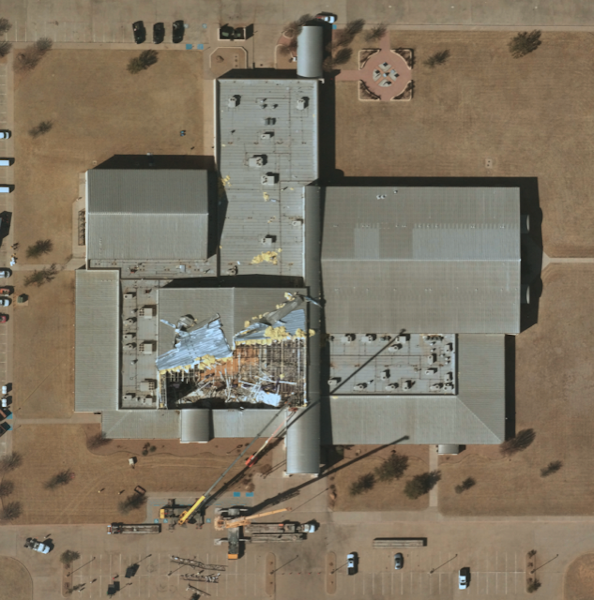
Why it matters: These detailed photos can be used to aid in disaster relief, monitor roadways, keep an eye on industrial operations, and watch over wildfires, deforestation and other environmental crises.
Details: The newly updated imaging robots — called Swifty 3 — are able to take photos at 7- to 10-centimeter resolution, higher than many commercial satellites. The Swiftys can fit in the trunk of a car, making it relatively easy to deploy them to a launch site, according to the company.
- "With high resolution, you're able to map debris on the ground easily and help with recovery," Near Space Labs CEO and co-founder Rema Matevosyan told Axios.
- The company is able to update imagery using its Swiftys five times a day over any given area, according to Matevosyan.
- Swiftys are also able to bring other instruments to the stratosphere like thermal or hyperspectral sensors, depending on customer interest, she added.
The big picture: The resolution of Near Space Labs' photos beats those of better-known commercial satellite companies and they're available to the public.
- Most commercial images released to the public are about 30 centimeters in resolution and are strictly regulated by the government when it comes to how sharp their public photos can be.
- Because its imagers fly in the stratosphere, Near Space Labs is regulated by the FAA, rather than federal spy agencies.
