Mar 2, 2022 - World
Satellite images show effects of Russian bombardment of Ukraine

Add Axios as your preferred source to
see more of our stories on Google.
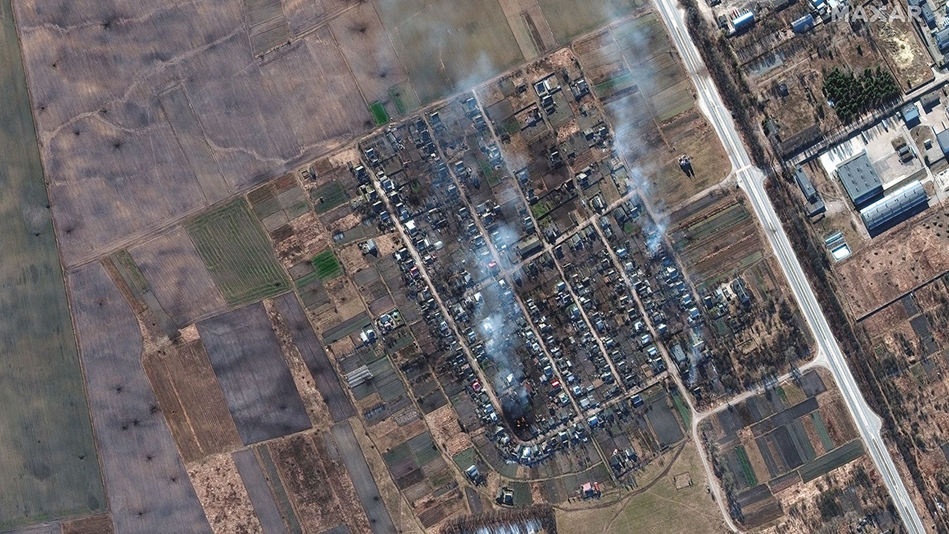
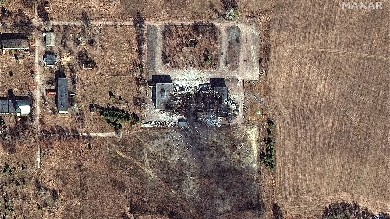
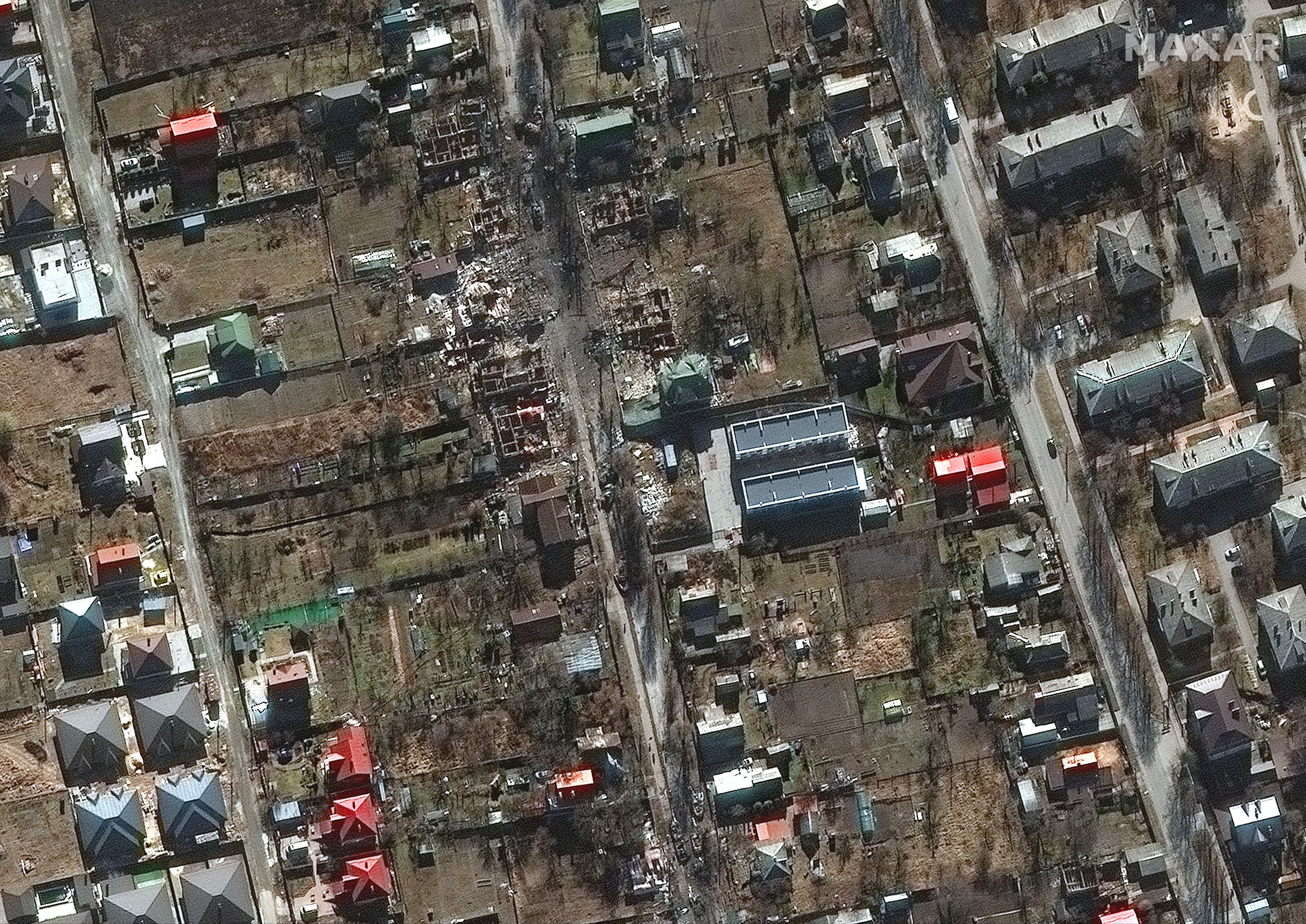
Satellite imagery overview of burning homes and impact craters in rural Ukraine. Photo: Maxar Technologies
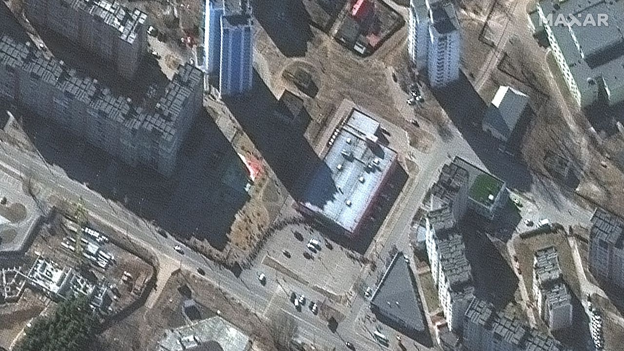
Newly released satellite imagery underscores the destruction Russia's invasion has wrought on several Ukraine as the war enters its second week.
The big picture: In the Maxar Technologies images from this week, buildings and factories in residential areas of several towns and cities appear to be leveled.
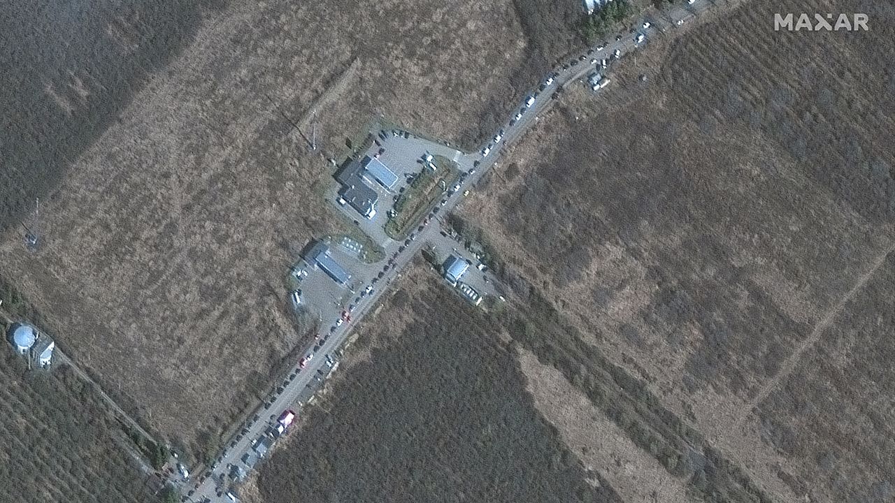
- The images reveal long lines of Ukrainians waiting for food at grocery stores in Chernihiv and Kyiv on Monday. Border crossings also seem to be jammed at multiple entry points along the borders with Hungary, Slovakia and Romania.
Context: Heavy cloud cover has prevented the release of any newer satellite imagery over the past two days and most of the images were taken last Monday.
Go deeper: The latest on the Russia-Ukraine crisis
