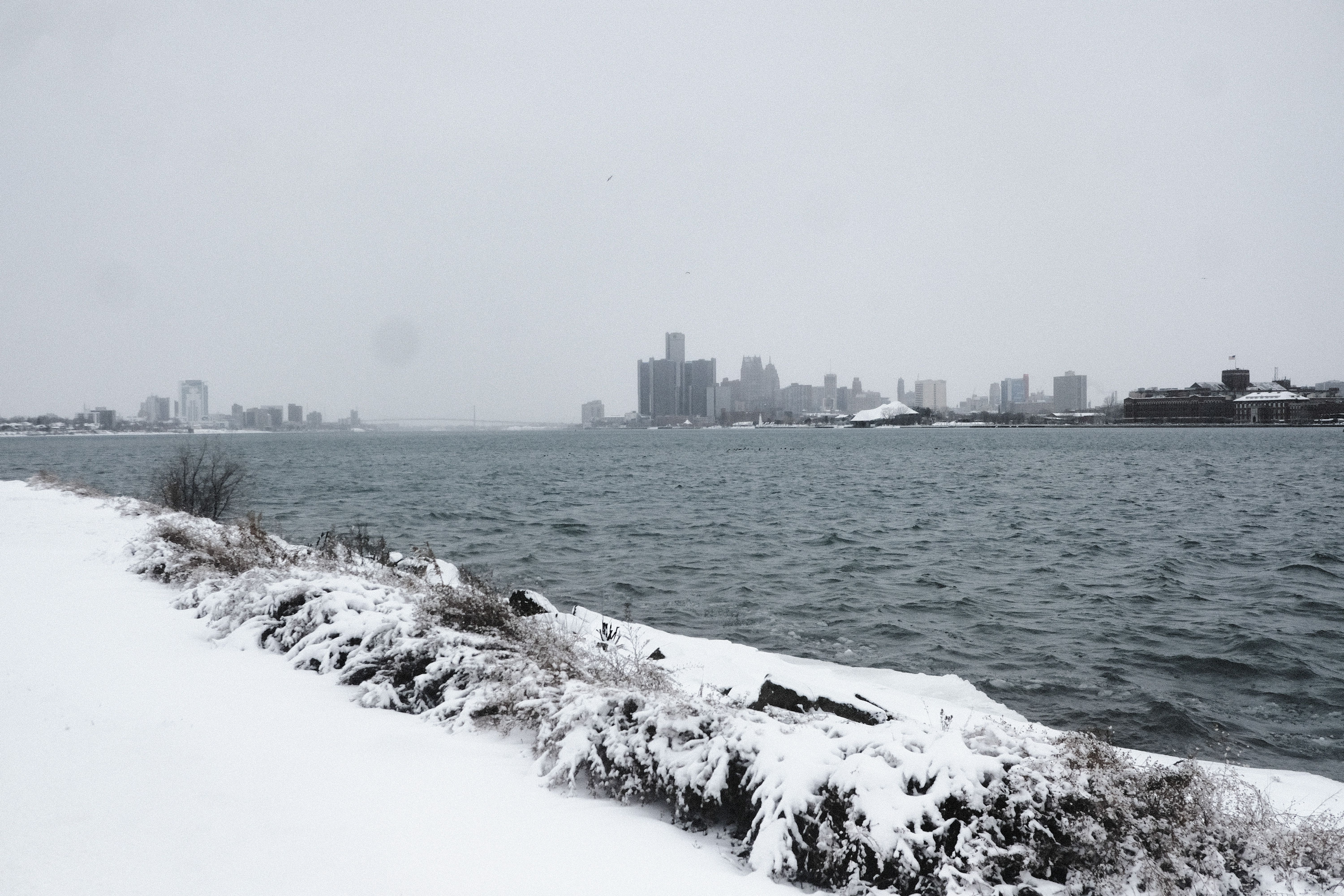
In photos: Massive winter storm slams U.S.

Add Axios as your preferred source to
see more of our stories on Google.
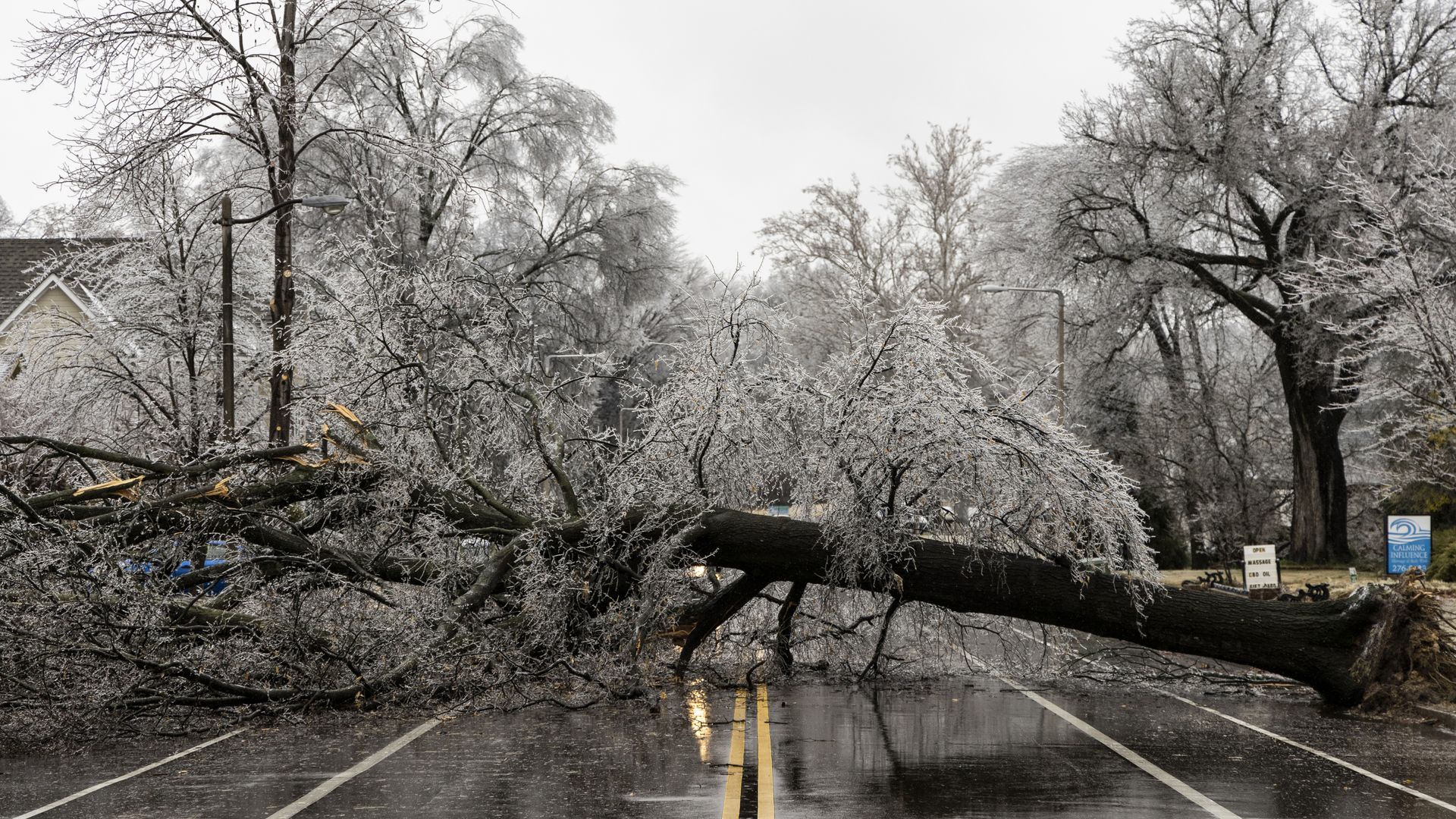
A fallen tree over a road in Memphis, Tennessee, on Feb. 3. Photo: Brad Vest/Getty Images
A massive winter storm that has slammed much of the country will enter its third day Friday and is expected to slam the Northeast U.S. before exiting over the Atlantic Ocean this weekend, the National Weather Service said.
The latest: The NWS said heavy snowfall and "treacherous" ice accumulations are expected to hit the Northeast Friday. The storm will bring with it temperatures ranging between 15 to 30 degrees below average from the Southern Plains to the Ohio Valley.
- Over 6 inches of snow is expected in eastern Maine on Friday, while parts of central Massachusetts could see a quarter inch of ice accumulation. The NWS said even the northern Mid-Atlantic could receive as much as a tenth of an inch of ice accumulation.
The big picture: The storm caused thousands of flight cancellations on Thursday, closed schools and left hundreds of thousands of people across the country without power.
- The governors of Illinois and Texas have issued disaster declarations, the governors of Kentucky and Missouri declared states of emergency and New York's governor has directed state agencies to prepare emergency plans, Axios' Andrew Freedman and Rebecca Falconer write.
In photos:


Editor's note: This story has been updated with additional details throughout.
