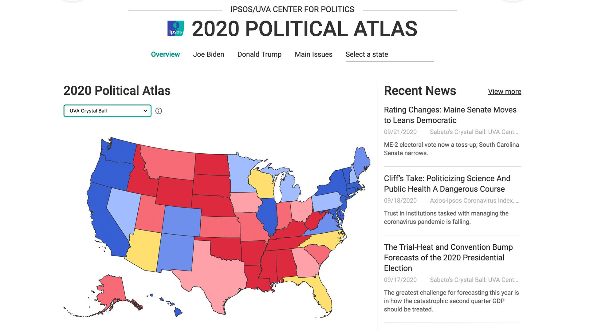
Ipsos and the University of Virginia's Center for Politics are out with an interactive U.S. map that goes down to the county level to track changes in public sentiment that could decide the presidential election.
How it works: The 2020 Political Atlas tracks President Trump's approval ratings, interest around the coronavirus, what's dominating social media and other measures, with polling updated daily — enhancing UVA's "Crystal Ball."
What they are saying: Larry Sabato, director of the University of Virginia Center for Politics, says understanding swing states means knowing "what’s being discussed in their local papers and nightly news, and how much the candidates are spending there."