A map of the entire night sky in X-rays
- Andrew Freedman, author of Axios Generate

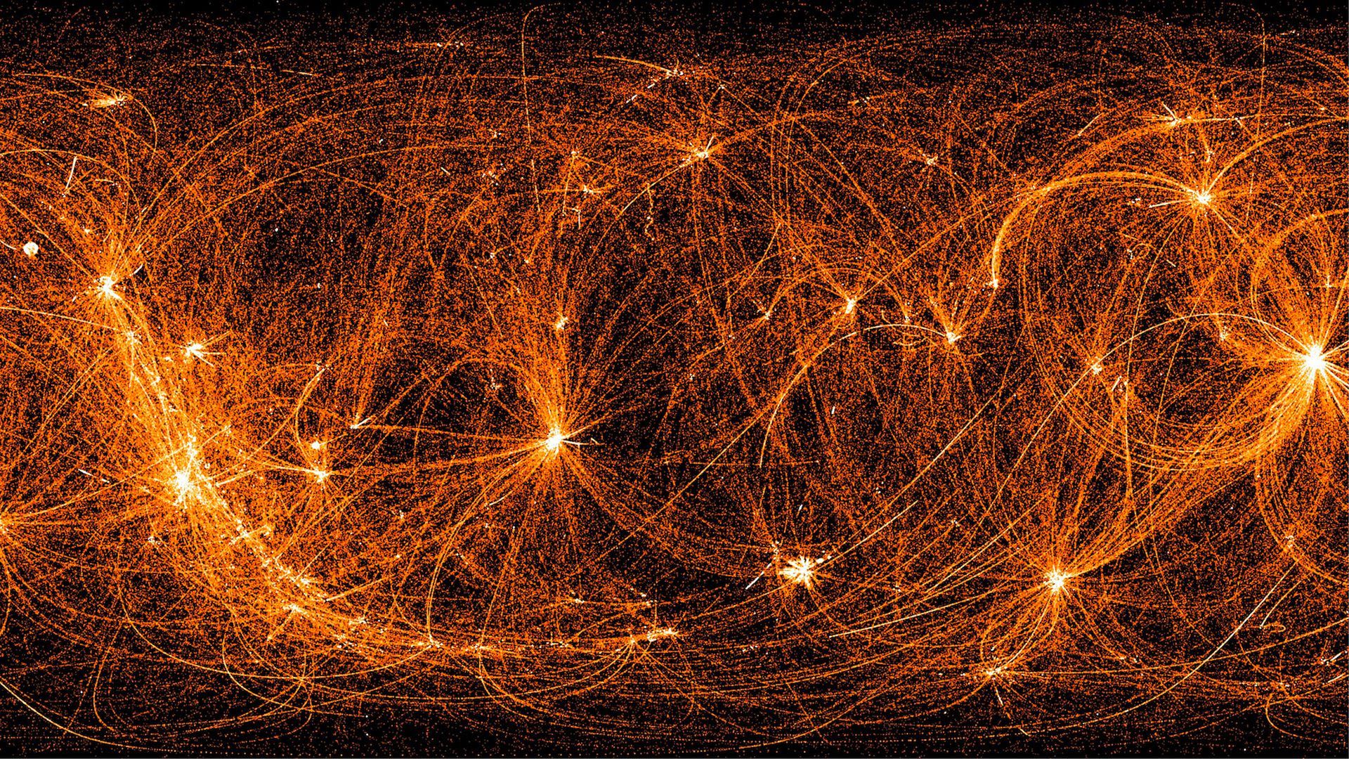
An image of the whole sky showing 22 months of X-ray data from NASA's Neutron star Interior Composition Explorer payload aboard the International Space Station during its nighttime slews between targets. Image: NASA/NICER
This image, which at first might strike you as a visualization of global flights or shipping traffic, is actually far more otherworldly. In fact, this is a map of the entire sky in X-rays, as recorded by NASA's Neutron star Interior Composition Explorer (NICER), aboard the International Space Station.
Why it matters: NICER's imagery could one day result in a navigation system that would allow spacecraft to navigate autonomously using an X-ray-based map of the solar system.
Details: The map includes data from the first 22 months of NICER’s science operations. Each arc traces X-rays, as well as occasional strikes from energetic particles, captured after sunset.
- The arcs form in areas NICER frequently targets for observations, and the bright spots are found at X-ray sources (like galaxies and quickly spinning neutron stars called pulsars) that the mission scientists are most keenly interested in.
- "We’re gradually building up a new X-ray image of the whole sky, and it’s possible NICER’s nighttime sweeps will uncover previously unknown sources,” said Keith Gendreau, the mission’s principal investigator, in a statement.
Context: NICER mainly aims to measure the dense remains of stars, known as neutron stars, with extraordinary precision.
- "These measurements will finally allow physicists to solve the mystery of what form of matter exists in their incredibly compressed cores," NASA says.
Editor’s note: The headline has been updated to reflect that the image is a map of the entire night sky in X-rays, rather than a NASA-produced map of global flights.