New satellite radar constellations are coming

Add Axios as your preferred source to
see more of our stories on Google.
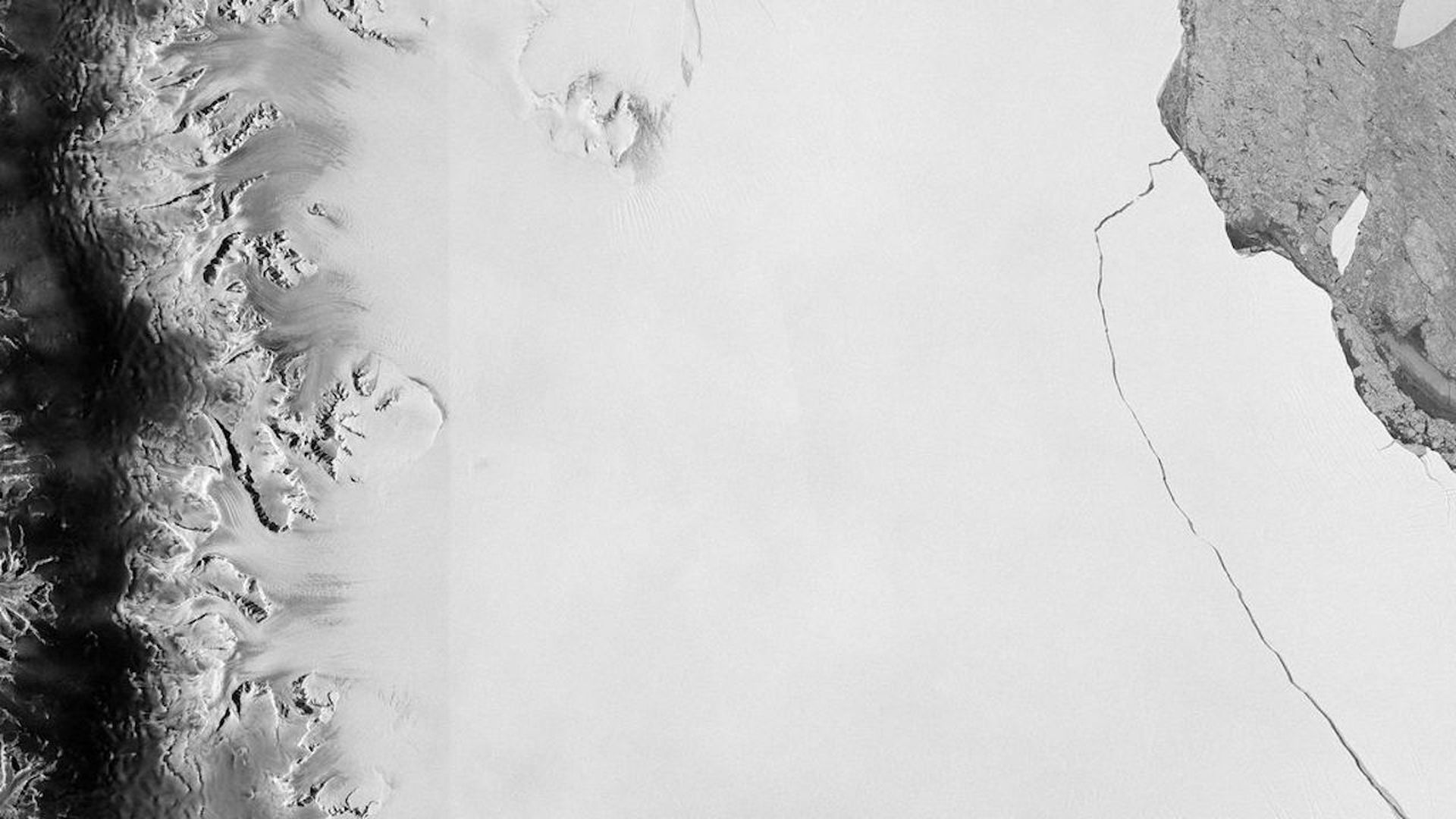
A massive iceberg breaks off from the Larsen-C ice shelf in Antarctica on July 12, 2017, as seen via an ESA satellite. Photo: ESA via Getty Images
Private companies have been launching constellations of Earth-observing satellites for years, but they've been focused on beaming back images taken using visible light. That's starting to change, however, as new firms enter what's currently a niche market: synthetic aperture radar (SAR).
Details: SAR allows for data-gathering regardless of weather conditions, making it especially useful for monitoring the planet's disappearing ice sheets that are cloaked in darkness for half the year.
- SAR technology first transmits microwave signals toward the Earth's surface and then receives the signals that are reflected, or backscattered, into space.
- Such technology can sense ground movement and variables that other satellite sensors cannot.
- Applications include monitoring oil spills, mapping forests and monitoring glaciers flowing into the sea.
The players: Three noteworthy companies in this area are Ursa Space Systems, Capella Space and ICEYE.
- Ursa, which has raised nearly $13 million, analyzes and sells SAR data from existing satellite radar providers.
- In the next 3 years, Capella Space, which has raised more than $50 million, is planning to launch its own constellation of 36 small satellites with SAR sensors to obtain hourly coverage of the entire planet, the company tells Axios.
- It has already launched its first SAR satellite, Denali, with a second slated to go up later this year.
- Their constellation will have sub-millimeter resolution, beating larger platforms like Sentinel, founder and CEO Payam Banazadeh tells Axios.
- ICEYE, a Finnish firm, is also launching its own SAR constellation.
Between the lines: While primary business customers may be financial firms and governments, scientists could benefit immensely from new, highly capable SAR constellations.
- This is particularly the case if the data is made freely available for research purposes.
- "We are starting to have good conversations with the science community," Banazadeh tells Axios.
Stef Lhermitte, a researcher at Delft University of Technology in the Netherlands, uses SAR imagery from ESA's Sentinel satellites to track Antarctic glaciers. He calls such data a "game changer."
- Instead of one image a year giving indications of ice movement, "we now have one image every six days," Lhermitte tells Axios. "You start to see very short-term scale differences."
Editor's note: This story has been updated to note the correct date — July 12, 2017 — that the Larsen C iceberg satellite image was taken.
