Super Typhoon Maria sets record, threatens Japan, China
- Andrew Freedman, author of Axios Generate
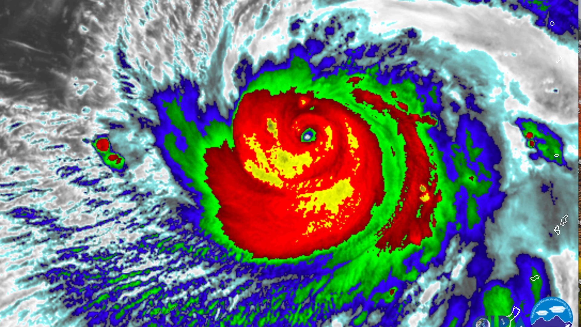
Infrared satellite image of Super Typhoon Maria on July 6, 2018. Credit: CIRA/RAMMB.
Super Typhoon Maria rapidly intensified on Thursday, becoming the equivalent of a Category 5 hurricane northwest of Guam. In doing so, it set a rare milestone.
The big picture: Super Typhoon Maria, which had maximum sustained winds of 155 miles per hour on Friday morning ET, is forecast to move northwest during the next few days before making a slight westward turn. Computer models are zeroing in on a landfall in heavily populated areas of coastal China, near Shanghai.
While the storm is likely to be somewhat weaker by the time it makes landfall, it could still strike as a super typhoon or a strong typhoon that would result in widespread flooding, a deadly coastal storm surge, and damage from high winds. Some meteorologists are already sounding the alarm for mainland China.
Between the lines: Hurricane Maria devastated the island of Puerto Rico last year, and at one point was a Category 5 storm. There will never again be another Hurricane Maria in the Atlantic Ocean, since that name was retired by a storm naming committee that is overseen by the World Meteorological Organization.
Record falls: However, there is a separate storm name list for Pacific typhoons, so now we have another powerful "Maria." This sets a record for the first back-to-back storms with the same name to each reach Category 5 intensity, but in different ocean basins.
Go deeper: Track the storm like a meteorologist using free tools from the University of Wisconsin.