
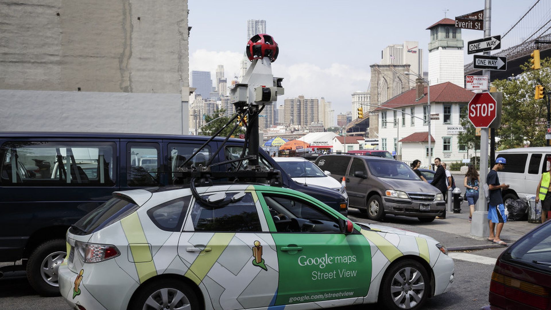
A Google Maps Street View car. Photo: James Leynse/Corbis via Getty images
Artificial Intelligence can now scan millions of pictures taken by Google Street View to glean insights like income or voting patterns, The New York Times reports. In a Stanford project, computers scanned millions of pictures of parked cars to predict voting patterns and pollution.
Why it matters: The project at Stanford (where a computer did in 2 weeks what would have taken a human 15 years) shows that computer vision is getting smart enough, with some human training, to begin mining massive visual sets of data created by products like Google Street View.
Here's what the Stanford project was able to learn and predict using automobile pictures, according to the Times:
- Accurately predicted "income, race, education and voting patterns at the ZIP code and precinct level in cities across the country."
- Using auto data, it found that Burlington, Vermont, is the nation's greenest city and Casper, Wyoming, has the biggest carbon footprint per-capita.
- Chicago has the highest level of income segregation and Jacksonville has the least.
- New York City has the most expensive cars, El Paso has the highest percentage of Hummers and San Francisco has the highest percentage of foreign cars.