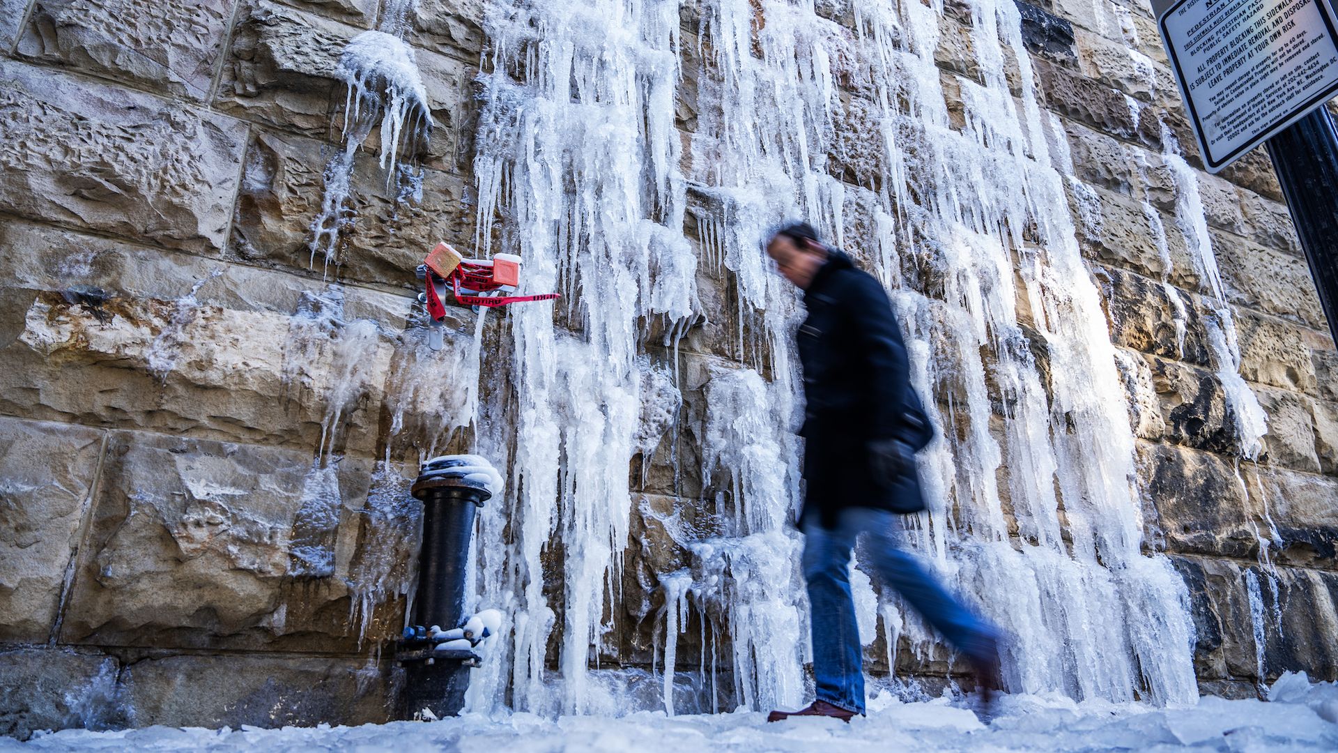
A pedestrian walking alongside Union Station. Photo: Tom Williams/CQ-Roll Call, Inc via Getty Images
We're looking at more brutal cold — but little snow — ahead.
The big picture: The D.C. area is in the grip of one of its coldest stretches in years, according to the Capital Weather Gang, with dangerous wind chills and a strong likelihood that this weekend's coastal storm mostly misses the region.
🥶 Driving the news: Highs today are only in the upper teens to lower 20s. On Saturday, temps dip further — mid-teens to around 20.
The CWG crew estimates snow chances for D.C. are just 20–30%, with a possible inch-deep dusting late Saturday into Sunday.
🌬️Yes, but: Storm-related gusts could hit 25–50 mph, sending wind chills into the single or sub-zero digits from Saturday night into Monday morning.
Remaining "snowcrete" will only get trickier to remove.
By the numbers: D.C. logged eight mornings in the teens this month — the most since 2018 — and could approach a 10-day streak (last such record: 1994).
Some models predict the freezing streak may last until Feb. 3 or 4. That would match the longest records set in February 1895 and February 1936.